File:Egmont-Soledad.PNG
Jump to navigation
Jump to search
Size of this preview: 800 × 503 pixels. Other resolutions: 320 × 201 pixels | 640 × 402 pixels | 1,024 × 644 pixels | 1,280 × 805 pixels | 2,560 × 1,610 pixels | 4,297 × 2,702 pixels.
Original file (4,297 × 2,702 pixels, file size: 1.05 MB, MIME type: image/png)
Captions
Captions
Add a one-line explanation of what this file represents
Summary
[edit]
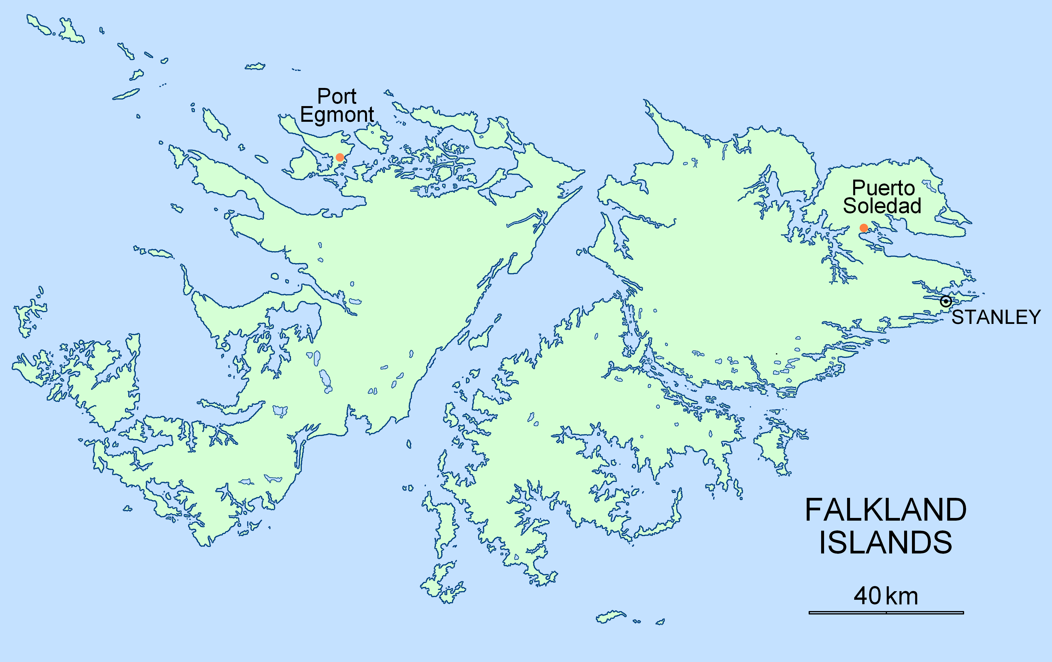
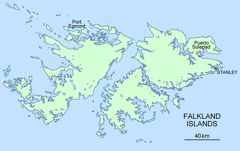
| Description | Location map for the historical settlements of Port Egmont and Puerto Soledad, Falkland Islands |
| Date | |
| Source | Own work |
| Author | Apcbg |
Licensing
[edit]
| I, the copyright holder of this work, release this work into the public domain. This applies worldwide. In some countries this may not be legally possible; if so: I grant anyone the right to use this work for any purpose, without any conditions, unless such conditions are required by law. |
File history
Click on a date/time to view the file as it appeared at that time.
| Date/Time | Thumbnail | Dimensions | User | Comment | |
|---|---|---|---|---|---|
| current | 15:17, 7 November 2007 | | 4,297 × 2,702 (1.05 MB) | Apcbg (talk | contribs) | == Summary == {{Information |Description=Location map for the historical settlements of Port Egmont and Puerto Soledad, Falkland Islands |Source=self-made |Date=7 November 2007 |Author= Apcbg }} == Licensing == {{PD-self}} |
| 04:48, 19 October 2007 |  | 3,213 × 2,117 (265 KB) | Apcbg (talk | contribs) | {{Information |Description=Location map for the historical settlements of Port Egmont and Puerto Soledad, Falkland Islands |Source=self-made |Date=19 October 2007 |Author= Apcbg }} |
You cannot overwrite this file.
File usage on Commons
There are no pages that use this file.
File usage on other wikis
The following other wikis use this file:
- Usage on ar.wikipedia.org
- Usage on en.wikipedia.org
- Usage on fr.wikipedia.org
- Usage on it.wikipedia.org
- Usage on ja.wikipedia.org
- Usage on ko.wikipedia.org
- Usage on no.wikipedia.org
- Usage on ru.wikipedia.org
- Usage on uk.wikipedia.org
- Usage on www.wikidata.org