File:Eglington Avenue, Etobicoke, Toronto, Ontario (21651951150).jpg
Original file (3,750 × 2,205 pixels, file size: 4.55 MB, MIME type: image/jpeg)
Captions
Captions
Summary
[edit].jpg&action=edit§ion=1)
| Description |
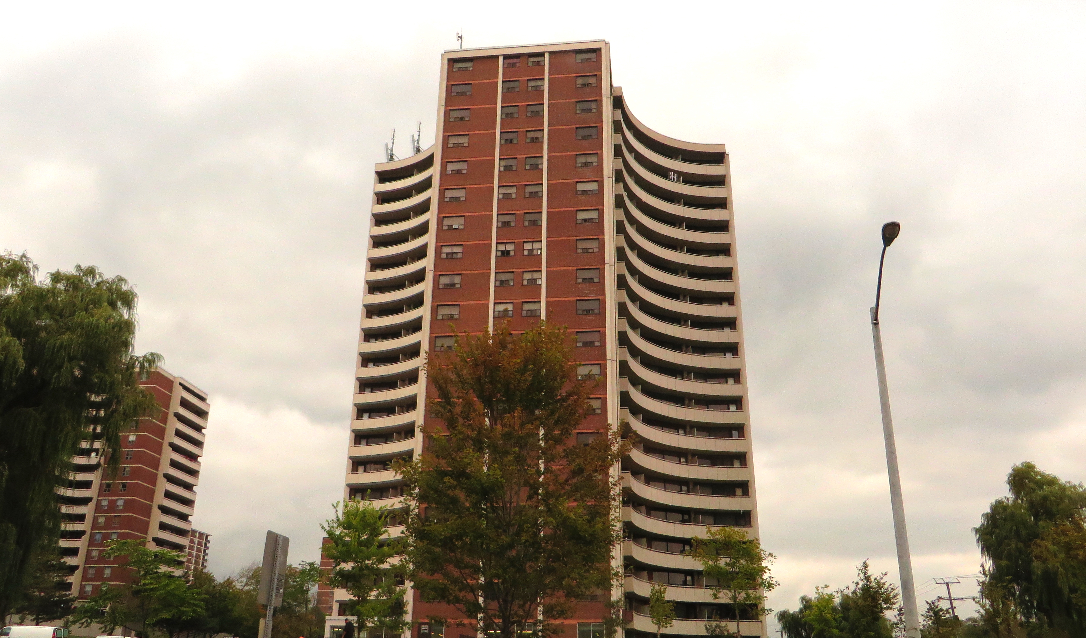
Etobicoke is an administrative district and former municipality within the western part of the city of Toronto, Ontario, Canada. Etobicoke was first settled by Europeans in the 1790s; the municipality grew into city status in the 20th century. Several independent villages and towns developed within the area of Etobicoke, only to be absorbed later into Etobicoke during the era of Metro Toronto. Etobicoke was dissolved in 1998, when it was amalgamated with other Metro Toronto municipalities into the city of Toronto. Etobicoke is bordered on the south by Lake Ontario, on the east by the Humber River, on the west by Etobicoke Creek, the city of Mississauga, and Toronto Pearson International Airport (a small portion of the airport extends into Etobicoke), and on the north by Steeles Avenue West. Etobicoke's population (347,948 in 2011) is very diverse, with people from all over the world including South Asians, East Asians, Middle Easterners, West Indians, Africans and Europeans. Etobicoke is primarily suburban in development, with a lower population density than central Toronto, larger main streets, shopping malls, and cul-de-sac housing developments. Etobicoke has several expressways within its borders, including the Queen Elizabeth Way, Gardiner Expressway, Ontario Highway 427, Ontario Highway 401 and Ontario Highway 409. Etobicoke is connected to the rest of Toronto by four stations of the Bloor-Danforth subway, which has its western terminus at Kipling Avenue, and by four GO stations. Etobicoke has one post-secondary institution: Humber College, which has two campuses. In 2011, according to the National Household Survey, Etobicoke was 58.7% White, 13.6% South Asian, 10.5% Black, 3.0% Latin American, 3.0% Filipino, 2.2% Chinese, 1.4% Korean, 1.3% Southeast Asian, 1.3% West Asian, 1.2% Arab, and 3.8% Other. 46.9% of the population are immigrants and 37.2% of North Etobicoke is of South Asian origin, the highest such percentage in Toronto. en.wikipedia.org/wiki/Etobicoke en.wikipedia.org/wiki/Wikipedia:Text_of_Creative_Commons_... |
| Date | Taken on 28 September 2015, 14:20 |
| Source | Eglington Avenue, Etobicoke, Toronto, Ontario |
| Author | Ken Lund from Reno, Nevada, USA |
| Camera location | | View this and other nearby images on: OpenStreetMap |
|---|
.jpg¶ms=043.683766_N_-079.512128_E_globe:Earth_type:camera_source:Flickr_&language=en)
Licensing
[edit].jpg&action=edit§ion=2)
- You are free:
- to share – to copy, distribute and transmit the work
- to remix – to adapt the work
- Under the following conditions:
- attribution – You must give appropriate credit, provide a link to the license, and indicate if changes were made. You may do so in any reasonable manner, but not in any way that suggests the licensor endorses you or your use.
- share alike – If you remix, transform, or build upon the material, you must distribute your contributions under the same or compatible license as the original.
| This image was originally posted to Flickr by Ken Lund at https://flickr.com/photos/75683070@N00/21651951150. It was reviewed on 19 December 2016 by FlickreviewR and was confirmed to be licensed under the terms of the cc-by-sa-2.0. |
File history
Click on a date/time to view the file as it appeared at that time.
| Date/Time | Thumbnail | Dimensions | User | Comment | |
|---|---|---|---|---|---|
| current | 15:30, 19 December 2016 | | 3,750 × 2,205 (4.55 MB) | Mindmatrix (talk | contribs) | Transferred from Flickr via Flickr2Commons |
You cannot overwrite this file.
File usage on Commons
There are no pages that use this file.
.jpg&oldid=875366484)