File:Edificios Seguros Bolivar y Davivienda.jpg
Jump to navigation
Jump to search

Size of this preview: 800 × 600 pixels. Other resolutions: 320 × 240 pixels | 640 × 480 pixels | 1,024 × 768 pixels | 1,280 × 960 pixels | 1,600 × 1,200 pixels.
Original file (1,600 × 1,200 pixels, file size: 476 KB, MIME type: image/jpeg)
Captions
Captions
Add a one-line explanation of what this file represents
Summary
[edit]
| Description |
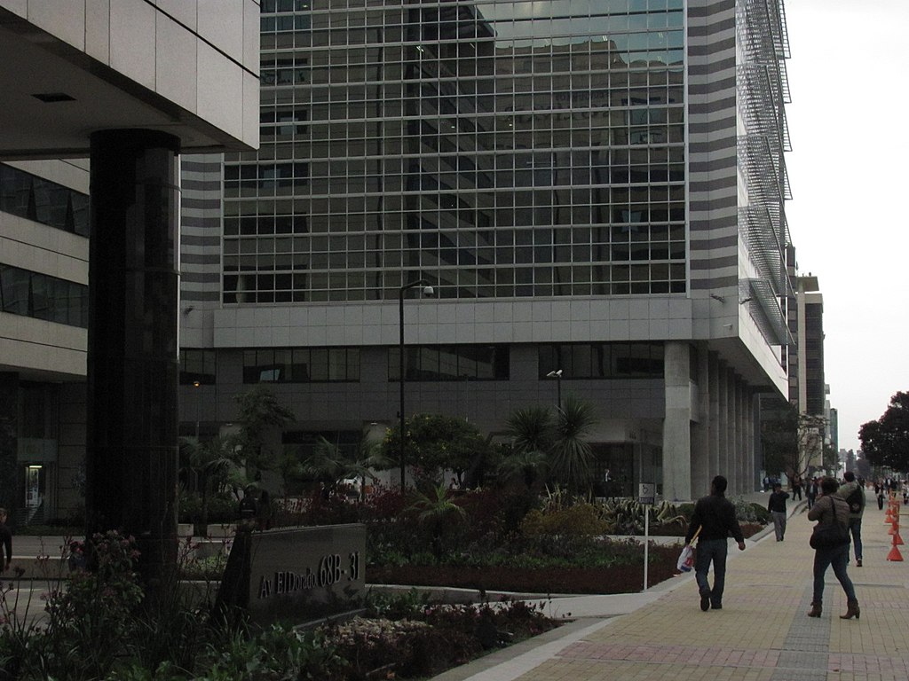
Español: Edificios de Seguros Bolivar y torre principal de Davivienda en la Avenida 26. Bogotá, Colombia |
||
| Date | |||
| Source |
Own work This photograph was taken with a Canon PowerShot SX120 IS |
||
| Author | Elberth 00001939 | ||
| Permission (Reusing this file) |
|
| Camera Model | Canon PowerShot SX120 |
|---|---|
| Mode | Manual (M) |
| Shutter speed | 1/500 |
| Aperture | f/5.6 |
| Exposure compensation | 0 |
| Film speed (ISO) | 80 |
| Lens | Canon 6.0-60.0 mm 1:2.8-4.3 |
| Focal length | 12 mm |
| Flash | Sin flash, obligatorio |
| Support | freehand |
| Camera location | | View this and other nearby images on: OpenStreetMap |
|---|
| Object location | | View this and other nearby images on: OpenStreetMap |
|---|
Licensing
[edit]
I, the copyright holder of this work, hereby publish it under the following license:
This file is licensed under the Creative Commons Attribution-Share Alike 3.0 Unported license.
- You are free:
- to share – to copy, distribute and transmit the work
- to remix – to adapt the work
- Under the following conditions:
- attribution – You must give appropriate credit, provide a link to the license, and indicate if changes were made. You may do so in any reasonable manner, but not in any way that suggests the licensor endorses you or your use.
- share alike – If you remix, transform, or build upon the material, you must distribute your contributions under the same or compatible license as the original.
File history
Click on a date/time to view the file as it appeared at that time.
| Date/Time | Thumbnail | Dimensions | User | Comment | |
|---|---|---|---|---|---|
| current | 01:49, 11 November 2011 | | 1,600 × 1,200 (476 KB) | Elberth 00001939 (talk | contribs) |
You cannot overwrite this file.
File usage on Commons
There are no pages that use this file.