File:Eclair.jpg
Jump to navigation
Jump to search
Size of this preview: 713 × 599 pixels. Other resolutions: 286 × 240 pixels | 571 × 480 pixels | 936 × 787 pixels.
Original file (936 × 787 pixels, file size: 155 KB, MIME type: image/jpeg)
Captions
Captions
Add a one-line explanation of what this file represents
| Camera location | | View this and other nearby images on: OpenStreetMap |
|---|
| Description |
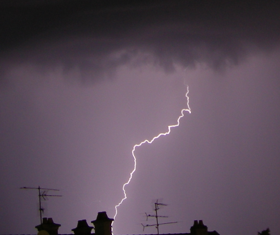
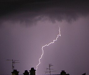
English: Lightning
Magyar: Villám |
||
| Date | |||
| Source | originally posted to Flickr as Eclair | ||
| Author | Thomas Bresson | ||
| Permission (Reusing this file) |
This file is licensed under the Creative Commons Attribution 2.0 Generic license.
|
File history
Click on a date/time to view the file as it appeared at that time.
| Date/Time | Thumbnail | Dimensions | User | Comment | |
|---|---|---|---|---|---|
| current | 17:09, 22 August 2008 | | 936 × 787 (155 KB) | Flickr upload bot (talk | contribs) | Uploaded from http://flickr.com/photo/36519414@N00/2705057626 using Flickr upload bot |
You cannot overwrite this file.
File usage on Commons
The following page uses this file: