File:East Lyn River - geograph.org.uk - 687224.jpg
Jump to navigation
Jump to search
No higher resolution available.
East_Lyn_River_-_geograph.org.uk_-_687224.jpg (640 × 440 pixels, file size: 191 KB, MIME type: image/jpeg)
Captions
Captions
Add a one-line explanation of what this file represents
Summary
[edit]
| Description |
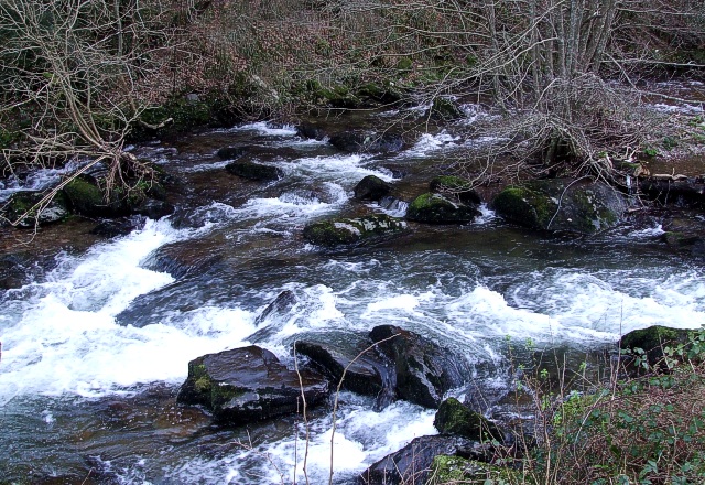
English: East Lyn River. The East Lyn River is seen here as it flows rapidly past 687171 on its way to Lynmouth where it is joined by the West Lyn River just before flowing out to sea. The East Lyn is formed nearby at Malmsmead when the Badgworthy Water is joined by the Oare Water. |
| Date | |
| Source | From geograph.org.uk |
| Author | Rob Farrow |
| Attribution (required by the license) | Rob Farrow / East Lyn River / |
| Camera location | | View this and other nearby images on: OpenStreetMap |
|---|
_heading:67.00&language=en)
| Object location | | View this and other nearby images on: OpenStreetMap |
|---|
_heading:67.00&language=en)
Licensing
[edit]

|
This image was taken from the Geograph project collection. See this photograph's page on the Geograph website for the photographer's contact details. The copyright on this image is owned by Rob Farrow and is licensed for reuse under the Creative Commons Attribution-ShareAlike 2.0 license.
|
This file is licensed under the Creative Commons Attribution-Share Alike 2.0 Generic license.
Attribution: Rob Farrow
- You are free:
- to share – to copy, distribute and transmit the work
- to remix – to adapt the work
- Under the following conditions:
- attribution – You must give appropriate credit, provide a link to the license, and indicate if changes were made. You may do so in any reasonable manner, but not in any way that suggests the licensor endorses you or your use.
- share alike – If you remix, transform, or build upon the material, you must distribute your contributions under the same or compatible license as the original.
File history
Click on a date/time to view the file as it appeared at that time.
| Date/Time | Thumbnail | Dimensions | User | Comment | |
|---|---|---|---|---|---|
| current | 01:25, 8 February 2011 | | 640 × 440 (191 KB) | GeographBot (talk | contribs) | == {{int:filedesc}} == {{Information |description={{en|1=East Lyn River The East Lyn River is seen here as it flows rapidly past [687171] on its way to Lynmouth where it is joined by the West Lyn River just before flowing out to sea. The East Lyn is f |
You cannot overwrite this file.
File usage on Commons
There are no pages that use this file.