File:East Fork Little Miami River Watershed - Brown, Clermont, Clinton, Highland, and Warren counties, Ohio LOC 00558366.jpg
Jump to navigation
Jump to search

Size of this preview: 800 × 525 pixels. Other resolutions: 320 × 210 pixels | 640 × 420 pixels | 1,024 × 672 pixels | 1,280 × 839 pixels | 2,560 × 1,679 pixels | 5,186 × 3,401 pixels.
Original file (5,186 × 3,401 pixels, file size: 1.59 MB, MIME type: image/jpeg)
Captions
Captions
Add a one-line explanation of what this file represents
Summary
[edit]| Description |
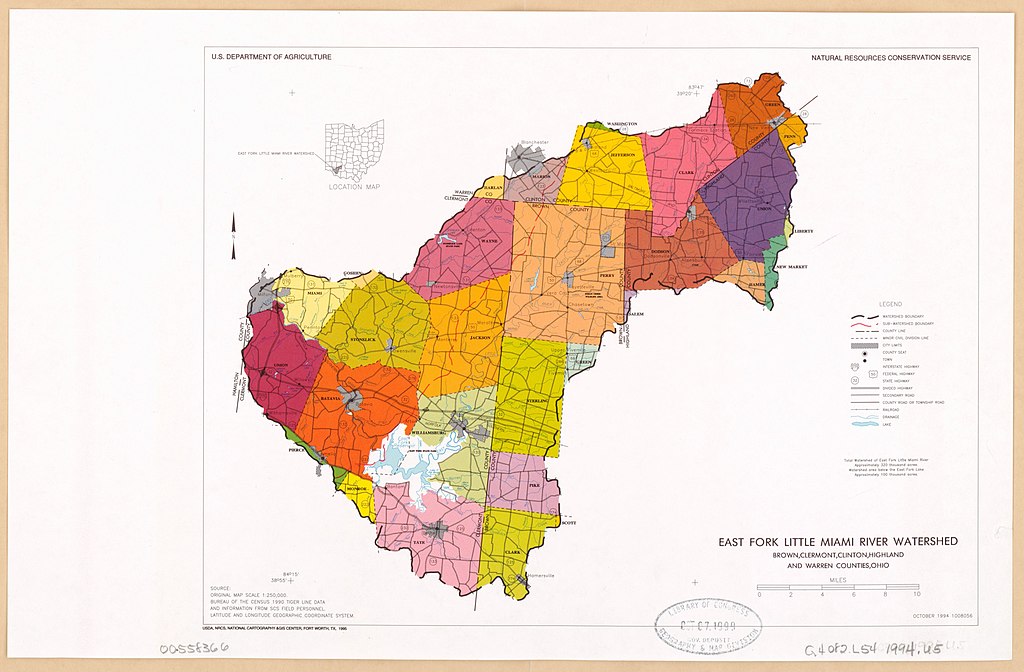
English: Includes location map. "October 1994 1008056." "Source: Original map scale 1:250,000. Bureau of the Census 1990 Tiger line data and information form SCS field personnel." Available also through the Library of Congress Web site as a raster image. |
||
| Title | East Fork Little Miami River Watershed : Brown, Clermont, Clinton, Highland, and Warren counties, Ohio | ||
| Shelf ID | G4082.L54 1994 .U5 | ||
| Date | |||
| Source | https://www.loc.gov/item/00558366/ | ||
| Author | United States. Natural Resources Conservation Service; National Cartography And Geographic Information Systems Center (U.S.) | ||
| Permission (Reusing this file) |
|
||
| Other versions |
|
||
| Location | United States · Little Miami River · Watershed · East Fork · Ohio · Little Miami River, East Fork, Watershed | ||
| Part of | American Memory · Catalog · Geography And Map Division · Additional Conservation And Environment Cartographic Items | ||
| Subject | United States · Maps · Ohio · Little Miami River, East Fork, Watershed (Ohio) · Little Miami River, East Fork, Watershed |


Licensing
[edit]
This work is in the public domain in the United States because it is a work prepared by an officer or employee of the United States Government as part of that person’s official duties under the terms of Title 17, Chapter 1, Section 105 of the US Code.
Note: This only applies to original works of the Federal Government and not to the work of any individual U.S. state, territory, commonwealth, county, municipality, or any other subdivision. This template also does not apply to postage stamp designs published by the United States Postal Service since 1978. (See § 313.6(C)(1) of Compendium of U.S. Copyright Office Practices). It also does not apply to certain US coins; see The US Mint Terms of Use.
|
 | |
| This file has been identified as being free of known restrictions under copyright law, including all related and neighboring rights. | ||
File history
Click on a date/time to view the file as it appeared at that time.
| Date/Time | Thumbnail | Dimensions | User | Comment | |
|---|---|---|---|---|---|
| current | 11:01, 1 May 2020 | | 5,186 × 3,401 (1.59 MB) | Fæ (talk | contribs) | LOC Maps https://www.loc.gov/item/00558366/ #8221 |
You cannot overwrite this file.
File usage on Commons
The following page uses this file:
File usage on other wikis
The following other wikis use this file:
- Usage on www.wikidata.org