File:Earthquake Trail.jpg
From Wikimedia Commons, the free media repository
Jump to navigation
Jump to search
Size of this preview: 800 × 533 pixels. Other resolutions: 320 × 213 pixels | 640 × 427 pixels | 1,024 × 683 pixels | 1,280 × 853 pixels | 2,560 × 1,707 pixels | 5,760 × 3,840 pixels.
Original file (5,760 × 3,840 pixels, file size: 9.35 MB, MIME type: image/jpeg)
File information
Structured data
Captions
Summary
[edit]DescriptionEarthquake Trail.jpg |
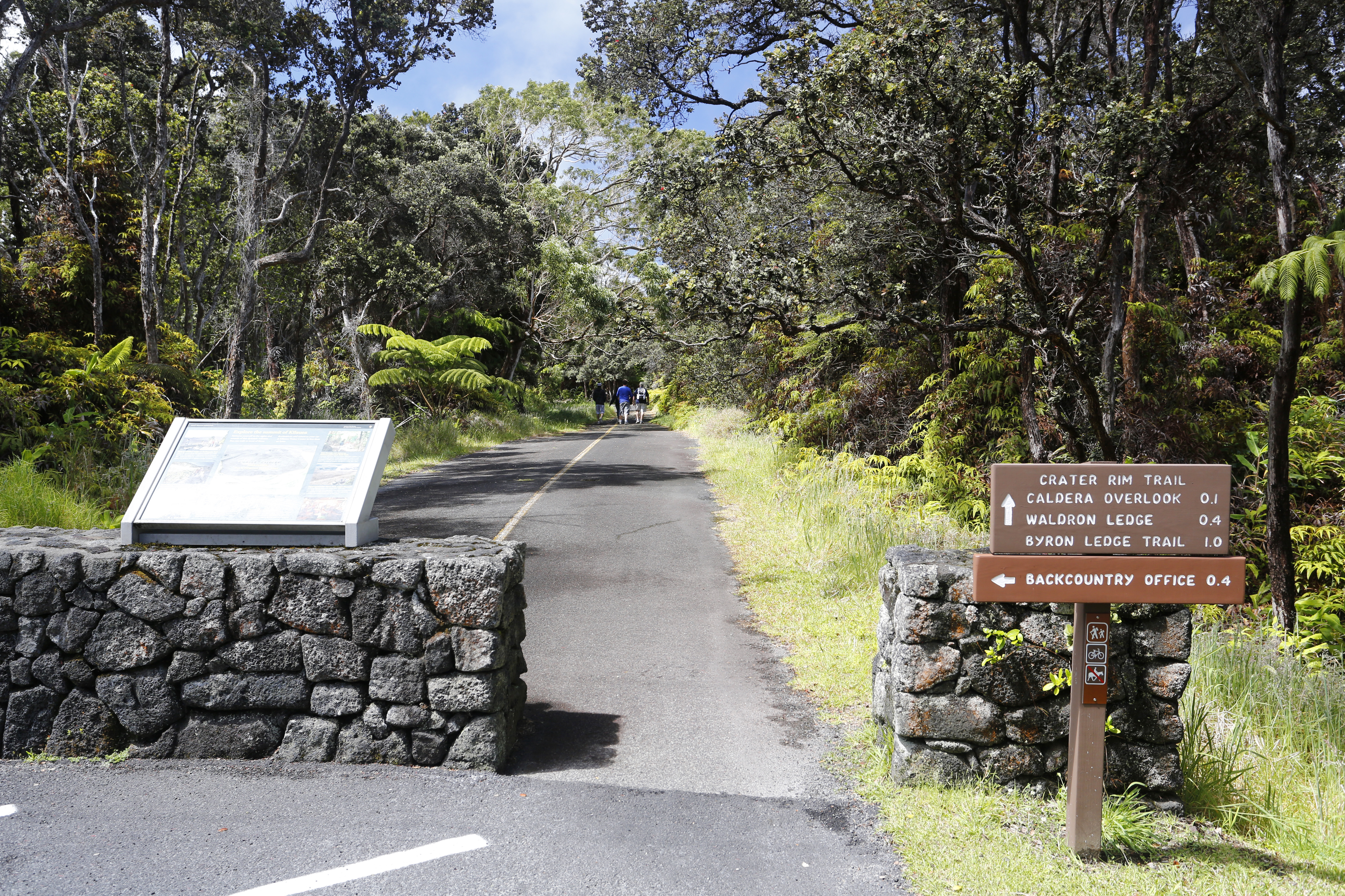
English: Earthquake Trail was formerly a section of Crater Rim Drive until November 16, 1983. At 6:13 a.m. a magnitude 6.6 earthquake under the east flank of Mauna Loa caused portions of the road to collapse into the caldera |
Date | 26 June 2012, 10:21 (according to Exif data) |
Source | http://www.nps.gov/media/photo/gallery.htm?id=10A167DE-155D-4519-3E462FB38C445DD8 |
Author | Michael Szoenyi |
Permission (Reusing this file) |
These photos are public domain. Please use credits listed under photos.[1] |
Licensing
[edit]Public domainPublic domainfalsefalse |
This work has been released into the public domain by its author, Michael Szoenyi. This applies worldwide. In some countries this may not be legally possible; if so: Michael Szoenyi grants anyone the right to use this work for any purpose, without any conditions, unless such conditions are required by law. Public domainPublic domainfalsefalse |
File history
Click on a date/time to view the file as it appeared at that time.
Date/Time | Thumbnail | Dimensions | User | Comment | |
---|---|---|---|---|---|
current | 17:33, 21 December 2015 | 5,760 × 3,840 (9.35 MB) | Holly Cheng (talk | contribs) | {{Information |Description ={{en|1=Earthquake Trail was formerly a section of Crater Rim Drive until November 16, 1983. At 6:13 a.m. a magnitude 6.6 earthquake under the east flank of Mauna Loa caused portions of the road to collapse into the calder... |
You cannot overwrite this file.
File usage on Commons
The following page uses this file:
Metadata
This file contains additional information such as Exif metadata which may have been added by the digital camera, scanner, or software program used to create or digitize it. If the file has been modified from its original state, some details such as the timestamp may not fully reflect those of the original file. The timestamp is only as accurate as the clock in the camera, and it may be completely wrong.
Camera manufacturer | Canon |
---|---|
Camera model | Canon EOS 5D Mark III |
Author | Michael Szoenyi geoland.ch |
Copyright holder |
|
Exposure time | 1/60 sec (0.016666666666667) |
F-number | f/7.1 |
ISO speed rating | 250 |
Date and time of data generation | 10:21, 26 June 2012 |
Lens focal length | 29 mm |
Headline | Wegweiser Kraterrand |
Image title |
|
Width | 5,760 px |
Height | 3,840 px |
Bits per component |
|
Pixel composition | RGB |
Orientation | Normal |
Number of components | 3 |
Horizontal resolution | 72 dpi |
Vertical resolution | 72 dpi |
Software used | Adobe Photoshop CS5.1 Macintosh |
File change date and time | 21:24, 26 June 2012 |
White point chromaticity |
|
Chromaticities of primarities |
|
Color space transformation matrix coefficients |
|
Y and C positioning | Co-sited |
Exposure Program | Shutter priority |
Exif version | 2.3 |
Date and time of digitizing | 10:21, 26 June 2012 |
Meaning of each component |
|
APEX shutter speed | 6 |
APEX aperture | 5.625 |
APEX exposure bias | 0.33333333333333 |
Maximum land aperture | 4 APEX (f/4) |
Metering mode | Pattern |
Flash | Flash did not fire, compulsory flash suppression |
DateTime subseconds | 00 |
DateTimeOriginal subseconds | 00 |
DateTimeDigitized subseconds | 00 |
Supported Flashpix version | 1 |
Color space | Uncalibrated |
Focal plane X resolution | 3,942.5051334702 |
Focal plane Y resolution | 3,950.6172839506 |
Focal plane resolution unit | inches |
Custom image processing | Normal process |
Exposure mode | Auto exposure |
White balance | Auto white balance |
Scene capture type | Standard |
GPS tag version | 0.0.3.2 |
Serial number of camera | 028021010370 |
Lens used | EF17-40mm f/4L USM |
Subject distance | 4,294,967,295 meters |
Image width | 5,760 px |
Image height | 3,840 px |
Rating (out of 5) | 0 |
Date metadata was last modified | 11:46, 26 June 2012 |
Unique ID of original document | xmp.did:72FCB731312068118DBB98911F13973E |
Keywords |
|
IIM version | 2 |