File:EU-Malta.png
Jump to navigation
Jump to search

Size of this preview: 713 × 600 pixels. Other resolutions: 285 × 240 pixels | 571 × 480 pixels | 913 × 768 pixels | 1,218 × 1,024 pixels | 2,000 × 1,682 pixels.
Original file (2,000 × 1,682 pixels, file size: 473 KB, MIME type: image/png)
Captions
Captions
Add a one-line explanation of what this file represents
| Description |
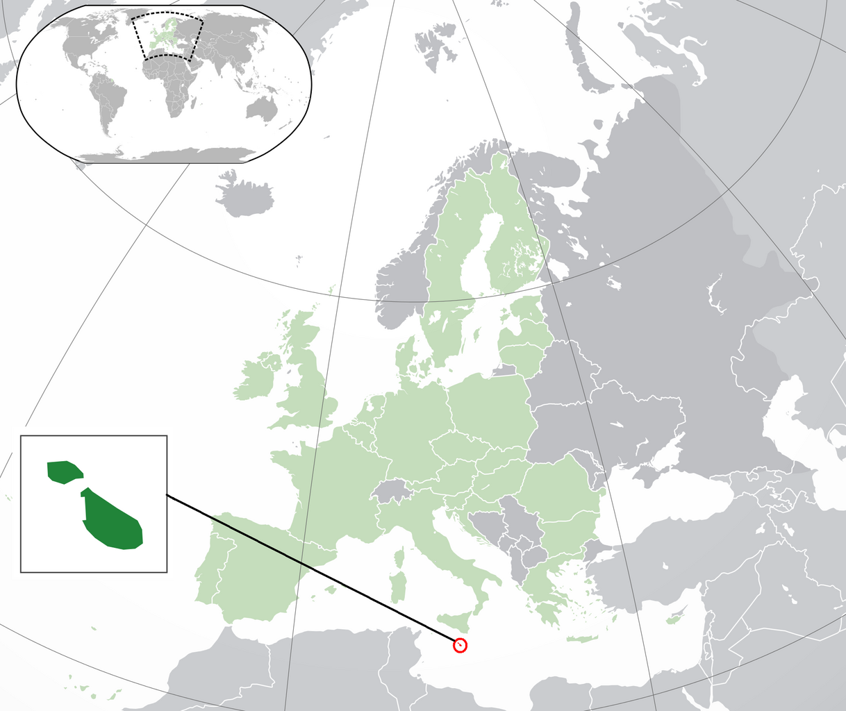
English: Locator map of Malta with European Union countires colored. Based on File:EU-Malta.svg. |
| Date | |
| Source | Own work |
| Author | Dennis Bratland |
| Permission (Reusing this file) |
This file is licensed under the Creative Commons Attribution 4.0 International license.
|
File history
Click on a date/time to view the file as it appeared at that time.
| Date/Time | Thumbnail | Dimensions | User | Comment | |
|---|---|---|---|---|---|
| current | 20:27, 10 May 2015 | | 2,000 × 1,682 (473 KB) | Subtropical-man (talk | contribs) | based on original file: File:EU-Malta.svg |
| 20:24, 10 May 2015 |  | 2,000 × 1,682 (473 KB) | Subtropical-man (talk | contribs) | originally: File:EU-Malta.svg | |
| 20:11, 10 May 2015 |  | 2,056 × 1,710 (1.15 MB) | Subtropical-man (talk | contribs) | better | |
| 00:10, 10 May 2015 |  | 2,644 × 2,427 (1.45 MB) | Dennis Bratland (talk | contribs) | clipped off a piece of Ireland | |
| 23:56, 9 May 2015 |  | 2,705 × 2,351 (1.44 MB) | Dennis Bratland (talk | contribs) | {{Information |Description ={{en|1=Locator map of Malta with European Union countires colored. Based on File:EU-Malta.svg.}} |Source ={{own}} |Author =Dennis Bratland |Date =2015-05-09 |Permiss... |
You cannot overwrite this file.
File usage on Commons
The following page uses this file:
- File:Fixed circle problem.png (file redirect)