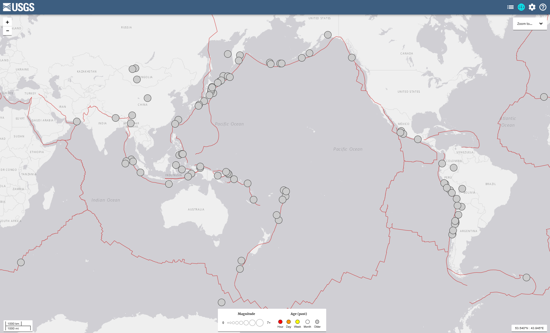
File:EQs 8 plus since 1900.png
Jump to navigation
Jump to search
Size of this preview: 800 × 484 pixels. Other resolutions: 320 × 194 pixels | 640 × 388 pixels | 1,024 × 620 pixels | 1,280 × 775 pixels | 1,858 × 1,125 pixels.
Original file (1,858 × 1,125 pixels, file size: 542 KB, MIME type: image/png)
Captions
Captions
Add a one-line explanation of what this file represents
Summary
[edit]
Licensing
[edit]
This image is in the public domain in the United States because it only contains materials that originally came from the United States Geological Survey, an agency of the United States Department of the Interior. For more information, see the official USGS copyright policy.
|
File history
Click on a date/time to view the file as it appeared at that time.
| Date/Time | Thumbnail | Dimensions | User | Comment | |
|---|---|---|---|---|---|
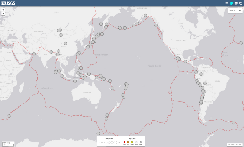
| current | 06:03, 10 October 2017 | | 1,858 × 1,125 (542 KB) | Masaqui (talk | contribs) | extend area to cover all 93 EQs |
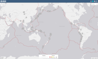
| 06:54, 9 October 2017 |  | 1,535 × 1,079 (421 KB) | Masaqui (talk | contribs) | User created page with UploadWizard |
You cannot overwrite this file.
File usage on Commons
The following page uses this file:
- File:8 plus EQ since 1900.png (file redirect)
File usage on other wikis
The following other wikis use this file:
- Usage on fa.wikipedia.org
- Usage on ja.wikipedia.org