File:EN1 highway close to Xai-Xai (7975816437).jpg
From Wikimedia Commons, the free media repository
Jump to navigation
Jump to search
![File:EN1 highway close to Xai-Xai (7975816437).jpg](https://upload.wikimedia.org/wikipedia/commons/thumb/5/53/EN1_highway_close_to_Xai-Xai_%287975816437%29.jpg/800px-EN1_highway_close_to_Xai-Xai_%287975816437%29.jpg?20141013093707)
Size of this preview: 800 × 533 pixels. Other resolutions: 320 × 213 pixels | 640 × 427 pixels | 1,024 × 683 pixels | 1,280 × 853 pixels | 2,560 × 1,707 pixels | 3,396 × 2,264 pixels.
Original file (3,396 × 2,264 pixels, file size: 4.56 MB, MIME type: image/jpeg)
File information
Structured data
Captions
Captions
Add a one-line explanation of what this file represents
Summary
[edit]DescriptionEN1 highway close to Xai-Xai (7975816437).jpg |
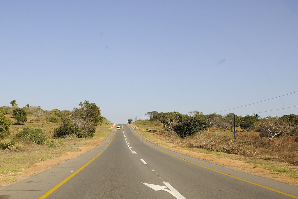
English: EN1 highway close to Xai-Xai, Gaza, Mozambique Deutsch: Fernstraße EN1 bei Xai-Xai, Gaza, Mosambik Português: Estrada nacional EN1 perto de Xai-Xai, Gaza, Moçambique |
Date | |
Source | EN1 highway that runs parallel to the coast |
Author | Andrew Ashton from Johannesburg, South Africa |
Camera location | 24° 59′ 00.6″ S, 33° 54′ 35.67″ E ![]() | View this and other nearby images on: OpenStreetMap | ![]() |
---|
Licensing
[edit]![w:en:Creative Commons](https://upload.wikimedia.org/wikipedia/commons/thumb/7/79/CC_some_rights_reserved.svg/90px-CC_some_rights_reserved.svg.png)
![attribution](https://upload.wikimedia.org/wikipedia/commons/thumb/1/11/Cc-by_new_white.svg/24px-Cc-by_new_white.svg.png)
This file is licensed under the Creative Commons Attribution 2.0 Generic license.
- You are free:
- to share – to copy, distribute and transmit the work
- to remix – to adapt the work
- Under the following conditions:
- attribution – You must give appropriate credit, provide a link to the license, and indicate if changes were made. You may do so in any reasonable manner, but not in any way that suggests the licensor endorses you or your use.
![]() |
This image was originally posted to Flickr by jacashgone at https://www.flickr.com/photos/36887207@N06/7975816437. It was reviewed on 13 October 2014 by FlickreviewR and was confirmed to be licensed under the terms of the cc-by-2.0. |
13 October 2014
File history
Click on a date/time to view the file as it appeared at that time.
Date/Time | Thumbnail | Dimensions | User | Comment | |
---|---|---|---|---|---|
current | 09:37, 13 October 2014 | ![]() | 3,396 × 2,264 (4.56 MB) | Jcornelius (talk | contribs) | Transferred from Flickr via Flickr2commons |
You cannot overwrite this file.
File usage on Commons
The following page uses this file:
File usage on other wikis
The following other wikis use this file:
- Usage on de.wikipedia.org
Metadata
This file contains additional information such as Exif metadata which may have been added by the digital camera, scanner, or software program used to create or digitize it. If the file has been modified from its original state, some details such as the timestamp may not fully reflect those of the original file. The timestamp is only as accurate as the clock in the camera, and it may be completely wrong.
Camera manufacturer | NIKON CORPORATION |
---|---|
Camera model | NIKON D90 |
Exposure time | 1/500 sec (0.002) |
F-number | f/11 |
ISO speed rating | 400 |
Date and time of data generation | 08:31, 20 August 2012 |
Lens focal length | 20 mm |
User comments | (c) A Ashton 2012 +27825611402 |
Latitude | 24° 59′ 0.6″ S |
Longitude | 33° 54′ 35.67″ E |
Altitude | 41.474 meters above sea level |
Image title |
|
Short title |
|
Copyright holder |
|
Author | Nikon digital camera user, Andrew Ashton |
Usage terms |
|
City shown | Chefe Cumbene |
Orientation | Normal |
Horizontal resolution | 300 dpi |
Vertical resolution | 300 dpi |
Software used | Capture NX 2.2.6 W |
File change date and time | 11:23, 11 September 2012 |
White point chromaticity |
|
Chromaticities of primarities |
|
Color space transformation matrix coefficients |
|
Y and C positioning | Centered |
Pair of black and white reference values |
|
Exposure Program | Aperture priority |
Exif version | 2.3 |
Date and time of digitizing | 08:31, 20 August 2012 |
Meaning of each component |
|
APEX exposure bias | 0 |
Maximum land aperture | 3.7 APEX (f/3.61) |
Metering mode | Pattern |
Light source | Unknown |
Flash | Flash did not fire |
DateTime subseconds | 00 |
DateTimeOriginal subseconds | 00 |
DateTimeDigitized subseconds | 00 |
Supported Flashpix version | 1 |
Color space | Uncalibrated |
Sensing method | One-chip color area sensor |
File source | Digital still camera |
Scene type | A directly photographed image |
Custom image processing | Normal process |
Exposure mode | Auto exposure |
White balance | Auto white balance |
Digital zoom ratio | 1 |
Focal length in 35 mm film | 30 mm |
Scene capture type | Standard |
Scene control | Low gain up |
Contrast | Normal |
Saturation | Normal |
Sharpness | Normal |
Subject distance range | Unknown |
GPS tag version | 0.0.2.2 |
Keywords |
|
Rating (out of 5) | 0 |
Province or state shown | Gaza |
Country shown | Mozambique |
IIM version | 4 |
Sublocation of city shown | 2.86 Km North Chefe Cumbene |