File:EC-guayas-map.PNG
Jump to navigation
Jump to search
No higher resolution available.
EC-guayas-map.PNG (450 × 394 pixels, file size: 10 KB, MIME type: image/png)
Captions
Captions
Add a one-line explanation of what this file represents
Summary
[edit]
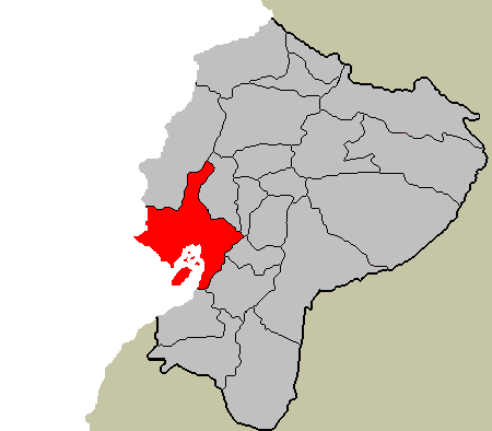
location of the Province of Guayas in Ecuador
Uploaded by en:User:SpLoT to en:Image:EC-guayas-map.PNG als self-created public domain image.
Licensing
[edit]
| This work has been released into the public domain by its author, SpLoT. This applies worldwide. In some countries this may not be legally possible; if so: |
File history
Click on a date/time to view the file as it appeared at that time.
| Date/Time | Thumbnail | Dimensions | User | Comment | |
|---|---|---|---|---|---|
| current | 11:56, 4 November 2006 | | 450 × 394 (10 KB) | Chigliak (talk | contribs) | location of the Province of Guayas in Ecuador category:Ecuador Uploaded by en:User:SpLoT to en:Image:EC-guayas-map.PNG als self-created public domain image. |
You cannot overwrite this file.
File usage on Commons
There are no pages that use this file.
File usage on other wikis
The following other wikis use this file:
- Usage on en.wikipedia.org
- Usage on fi.wikipedia.org
- Usage on ms.wikipedia.org