File:Dutton Horse Bridge, Cheshire.jpg
Jump to navigation
Jump to search
Size of this preview: 800 × 600 pixels. Other resolutions: 320 × 240 pixels | 640 × 480 pixels | 1,024 × 768 pixels.
Original file (1,024 × 768 pixels, file size: 263 KB, MIME type: image/jpeg)
Captions
Captions
Add a one-line explanation of what this file represents
| Description |
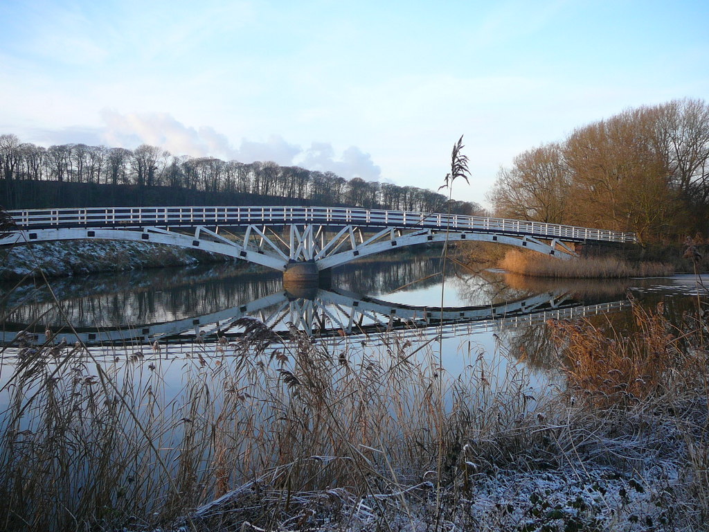
English: Footbridge on the River Weaver southwest of Dutton Lock |
||
| Date | |||
| Source | geograph.org.uk | ||
| Author | Colin Park | ||
| Permission (Reusing this file) |
This file is licensed under the Creative Commons Attribution-Share Alike 2.0 Generic license. Attribution: Colin Park
|
||
| Attribution (required by the license) | Colin Park / Footbridge on the River Weaver southwest of Dutton Lock / | ||

| Camera location | | View this and other nearby images on: OpenStreetMap |
|---|
_heading:315.00&language=en)
| Object location | | View this and other nearby images on: OpenStreetMap |
|---|
_heading:315.00&language=en)
File history
Click on a date/time to view the file as it appeared at that time.
| Date/Time | Thumbnail | Dimensions | User | Comment | |
|---|---|---|---|---|---|
| current | 17:31, 11 September 2017 | | 1,024 × 768 (263 KB) | Geograph Update Bot (talk | contribs) | Higher-resolution version from Geograph. |
| 21:33, 6 December 2012 |  | 640 × 480 (103 KB) | Espresso Addict (talk | contribs) | {{Information |Description ={{en|1=Footbridge on the River Weaver southwest of Dutton Lock}} |Source ={{geograph|2183985|Colin Park}} |Author =Colin Park |Date =29 November 2010 |Permission ={{geograph|2183985|Colin Par... |
You cannot overwrite this file.
File usage on Commons
The following page uses this file:
File usage on other wikis
The following other wikis use this file:
- Usage on ar.wikipedia.org
- Usage on arz.wikipedia.org
- Usage on ceb.wikipedia.org
- Usage on cy.wikipedia.org
- Usage on en.wikipedia.org
- Usage on es.wikipedia.org
- Usage on fr.wikipedia.org
- Usage on lld.wikipedia.org
- Usage on pl.wikipedia.org
- Usage on tr.wikipedia.org
- Usage on www.wikidata.org