File:Dundee and Tay Road Bridge 1980.jpg
Jump to navigation
Jump to search
Size of this preview: 800 × 229 pixels. Other resolutions: 320 × 91 pixels | 640 × 183 pixels | 2,502 × 715 pixels.
Original file (2,502 × 715 pixels, file size: 833 KB, MIME type: image/jpeg)
Captions
Captions
Add a one-line explanation of what this file represents
This file is licensed under the Creative Commons Attribution-Share Alike 2.0 Generic license.
Attribution: Colin Smith
- You are free:
- to share – to copy, distribute and transmit the work
- to remix – to adapt the work
- Under the following conditions:
- attribution – You must give appropriate credit, provide a link to the license, and indicate if changes were made. You may do so in any reasonable manner, but not in any way that suggests the licensor endorses you or your use.
- share alike – If you remix, transform, or build upon the material, you must distribute your contributions under the same or compatible license as the original.
| Description |
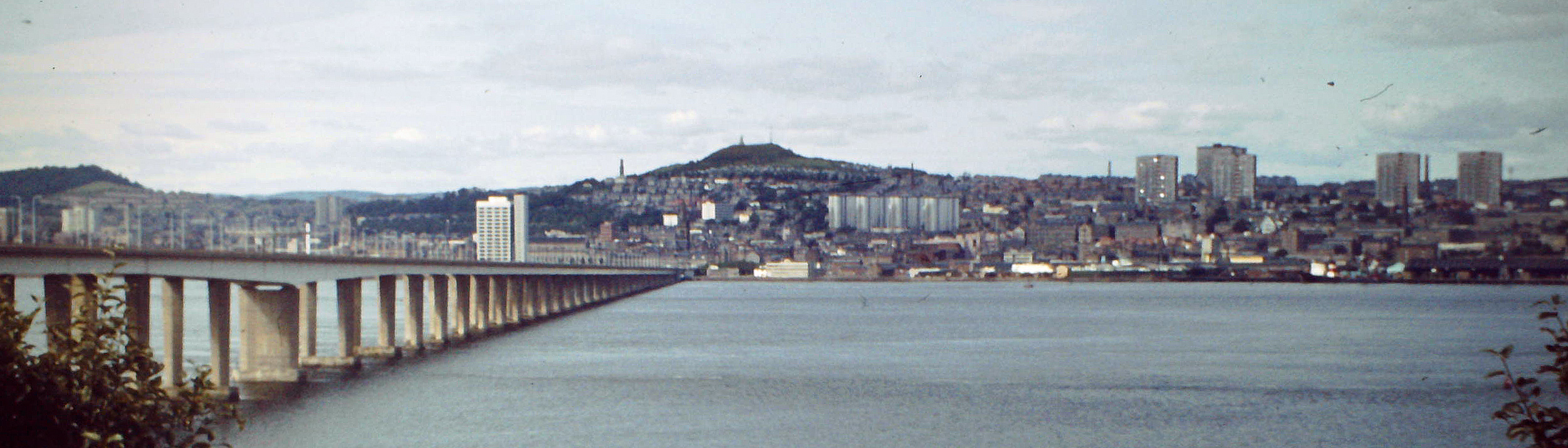
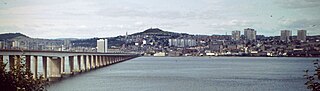
English: Dundee and Tay Road Bridge seen from Fife, near Tayport and Newport-on-Tay |
| Date | |
| Source | Geograph Image #2948431 via File:Tay Road Bridge - geograph.org.uk - 2948431.jpg |
| Author | Colin Smith |
| Other versions |

| Camera location | | View this and other nearby images on: OpenStreetMap |
|---|
_region:GB-GBN_heading:292.00&language=en)
| Object location | | View this and other nearby images on: OpenStreetMap |
|---|
_region:GB-GBN_heading:292.00&language=en)
| This is a retouched picture, which means that it has been digitally altered from its original version. Modifications: Rotated, cropped, colour balanced, sharpened, but not otherwise modified or retouched.. Modifications made by Laerol.
|
File history
Click on a date/time to view the file as it appeared at that time.
| Date/Time | Thumbnail | Dimensions | User | Comment | |
|---|---|---|---|---|---|
| current | 13:18, 27 August 2023 | 2,502 × 715 (833 KB) | Laerol (talk | contribs) | Recrop, rotate, colour balance, sharp | |
| 13:10, 27 August 2023 | 2,520 × 936 (198 KB) | Laerol (talk | contribs) | File:Tay Road Bridge - geograph.org.uk - 2948431.jpg cropped 44 % vertically using CropTool with precise mode. |
You cannot overwrite this file.
File usage on Commons
The following 2 pages use this file: