File:Duchesne Municipal Airport - aerial photo.png
Jump to navigation
Jump to search

Size of this preview: 600 × 600 pixels. Other resolutions: 240 × 240 pixels | 480 × 480 pixels | 768 × 768 pixels | 1,024 × 1,024 pixels | 1,280 × 1,280 pixels.
Original file (1,280 × 1,280 pixels, file size: 3.4 MB, MIME type: image/png)
Captions
Captions
Add a one-line explanation of what this file represents
Summary
[edit]
| Description |
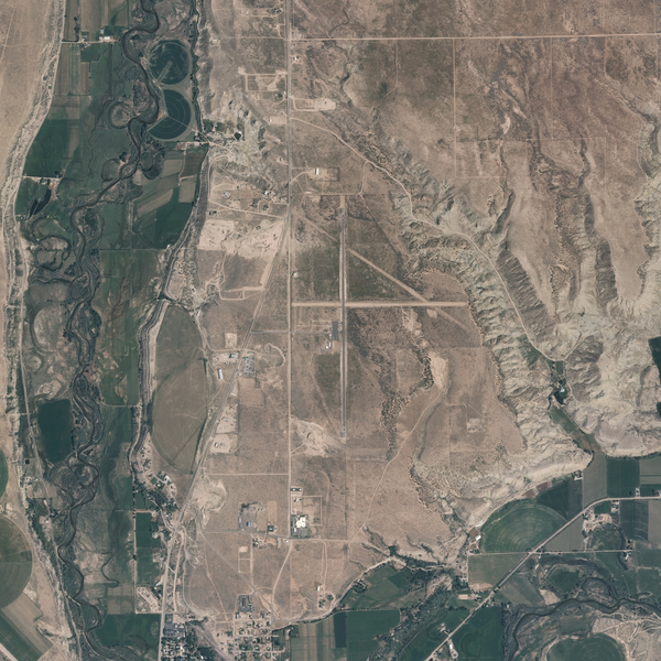
English: Duchesne Municipal Airport, UT is a airport located in Duchesne County, Utah at N40.19246° W110.38556° / N40° 11' 32" W110° 23' 8" (NAD83). Zoom: 4m/pixel Dimensions: 1280 × 1280 |
| Source | http://www.topoquest.com/map.php?lat=40.19246&lon=-110.38556&datum=nad83&zoom=4&map=sat1m&coord=d&mode=zoomin&size=xl |
| Author | USGS |
| Camera location | | View this and other nearby images on: OpenStreetMap |
|---|
Licensing
[edit]
This image is in the public domain in the United States because it only contains materials that originally came from the United States Geological Survey, an agency of the United States Department of the Interior. For more information, see the official USGS copyright policy.
|
File history
Click on a date/time to view the file as it appeared at that time.
| Date/Time | Thumbnail | Dimensions | User | Comment | |
|---|---|---|---|---|---|
| current | 02:20, 2 November 2013 | | 1,280 × 1,280 (3.4 MB) | Senator2029 (talk | contribs) | {{Information |Description ={{en|1={{w|Duchesne Municipal Airport}}, UT is a airport located in Duchesne County, Utah at N40.19246° W110.38556° / N40° 11' 32" W110° 23' 8" (NAD83). Zoom: 4m/pixel Dimensions: 1280 × 1280}} |Source =htt... |
You cannot overwrite this file.
File usage on Commons
There are no pages that use this file.