File:Dublin map.png
Jump to navigation
Jump to search
Size of this preview: 746 × 600 pixels. Other resolutions: 299 × 240 pixels | 597 × 480 pixels | 914 × 735 pixels.
Original file (914 × 735 pixels, file size: 692 KB, MIME type: image/png)
Captions
Captions
Add a one-line explanation of what this file represents
Summary
[edit]
| Description |
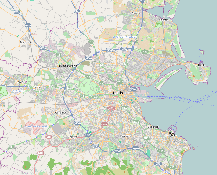
English: Dublin city location map. |
| Date | |
| Source | http://www.openstreetmap.org |
| Author | http://www.openstreetmap.org |
| Permission (Reusing this file) |
OpenStreetMap is a free editable map of the whole world. It is made by people like you. |
Licensing
[edit]
This file is licensed under the Creative Commons Attribution-Share Alike 3.0 Unported license.
- You are free:
- to share – to copy, distribute and transmit the work
- to remix – to adapt the work
- Under the following conditions:
- attribution – You must give appropriate credit, provide a link to the license, and indicate if changes were made. You may do so in any reasonable manner, but not in any way that suggests the licensor endorses you or your use.
- share alike – If you remix, transform, or build upon the material, you must distribute your contributions under the same or compatible license as the original.
File history
Click on a date/time to view the file as it appeared at that time.
| Date/Time | Thumbnail | Dimensions | User | Comment | |
|---|---|---|---|---|---|
| current | 17:05, 30 June 2011 | | 914 × 735 (692 KB) | Euskaldunaa (talk | contribs) | {{Information |Description ={{en|1=Dublin city location map.}} |Source =http://www.openstreetmap.org |Author =http://www.openstreetmap.org |Date =2011-6-30 |Permission =OpenStreetMap is a free editable map of the whole wor |
You cannot overwrite this file.
File usage on Commons
There are no pages that use this file.
File usage on other wikis
The following other wikis use this file:
- Usage on azb.wikipedia.org
- Usage on ban.wikipedia.org
- Usage on bn.wikipedia.org
- Usage on en.wikipedia.org
- Finglas
- National Botanic Gardens (Ireland)
- Ballsbridge
- National Print Museum
- Trinity College Dublin
- Áras an Uachtaráin
- Phoenix Park
- Steward's Lodge
- Battle of Clontarf
- Swords, Dublin
- Kilmainham Gaol
- Glenageary
- Blackrock, Dublin
- Dublin Airport
- Lansdowne Road
- Merrion Square
- Sydney Parade Avenue
- Dublin Bay
- Ballymun
- Ailesbury Road
- Dalkey
- Sandymount
- Rathfarnham
- Farmleigh
- Ballyfermot
- Blanchardstown
- Tallaght
- National Aquatic Centre
- Templeogue
- Terenure
- Temple Bar, Dublin
- Pearse Museum
- Knocklyon
- Rathfarnham Castle
- St Stephen's Green
- Ranelagh
- Malahide
- Kilmainham
- Monkstown, County Dublin
- Heuston railway station
- Forty Foot
- Sutton, Dublin
- Sandyford
View more global usage of this file.