File:Dubh Artach Lighthouse (geograph 4221292).jpg
Jump to navigation
Jump to search
No higher resolution available.
Dubh_Artach_Lighthouse_(geograph_4221292).jpg (800 × 483 pixels, file size: 50 KB, MIME type: image/jpeg)
Captions
Captions
Add a one-line explanation of what this file represents
|
This is a photo of listed building number 12320. |
Summary
[edit].jpg&action=edit§ion=1)
| Description |
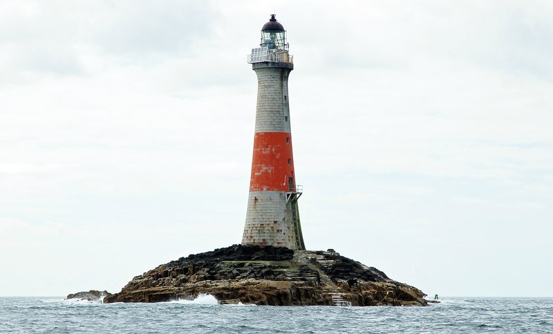
English: Dubh Artach Lighthouse |
| Date | |
| Source | From geograph.org.uk |
| Author | Donald MacDonald |
| Permission (Reusing this file) |
Creative Commons Attribution Share-alike license 2.0 |
| Attribution (required by the license) | Donald MacDonald / Dubh Artach Lighthouse / |
| Camera location | | View this and other nearby images on: OpenStreetMap |
|---|
.jpg¶ms=056.130428_N_-006.632722_E_globe:Earth_type:camera_heading:292.00_source:geograph&language=en)
| Object location | | View this and other nearby images on: OpenStreetMap |
|---|
.jpg¶ms=056.131320_N_-006.636500_E_globe:Earth_class:object_type:object_source:geograph-osgb36(NM12020286)_region:GB-GBN_heading:292.00&language=en)
Licensing
[edit].jpg&action=edit§ion=2)

|
This image was taken from the Geograph project collection. See this photograph's page on the Geograph website for the photographer's contact details. The copyright on this image is owned by Donald MacDonald and is licensed for reuse under the Creative Commons Attribution-ShareAlike 2.0 license.
|
This file is licensed under the Creative Commons Attribution-Share Alike 2.0 Generic license.
Attribution: Donald MacDonald
- You are free:
- to share – to copy, distribute and transmit the work
- to remix – to adapt the work
- Under the following conditions:
- attribution – You must give appropriate credit, provide a link to the license, and indicate if changes were made. You may do so in any reasonable manner, but not in any way that suggests the licensor endorses you or your use.
- share alike – If you remix, transform, or build upon the material, you must distribute your contributions under the same or compatible license as the original.
File history
Click on a date/time to view the file as it appeared at that time.
| Date/Time | Thumbnail | Dimensions | User | Comment | |
|---|---|---|---|---|---|
| current | 15:00, 1 December 2016 | | 800 × 483 (50 KB) | Jokulhlaup (talk | contribs) | Transferred from geograph.co.uk using [https://tools.wmflabs.org/geograph2commons/ geograph2commons] |
You cannot overwrite this file.
File usage on Commons
The following 2 pages use this file:
File usage on other wikis
The following other wikis use this file:
- Usage on cs.wikipedia.org
- Usage on de.wikipedia.org
- Usage on en.wikipedia.org
- List of lighthouses in Scotland
- Dubh Artach
- List of Category A listed buildings in Argyll and Bute
- List of listed buildings in Kilfinichen And Kilvickeon, Argyll and Bute
- User:Aeroid/List Lighthouses
- Template:Transclude lead excerpt/testcases
- Portal:Scottish islands/Island
- User:Stinglehammer/Scottish WLM
- Usage on sv.wikipedia.org
- Usage on www.wikidata.org
.jpg&oldid=926392405)