File:Drilling at NNSS (7597420346).jpg
Jump to navigation
Jump to search
Size of this preview: 500 × 599 pixels. Other resolutions: 200 × 240 pixels | 401 × 480 pixels | 641 × 768 pixels | 855 × 1,024 pixels | 1,926 × 2,307 pixels.
Original file (1,926 × 2,307 pixels, file size: 2.51 MB, MIME type: image/jpeg)
Captions
Captions
Add a one-line explanation of what this file represents
Summary
[edit].jpg&action=edit§ion=1)
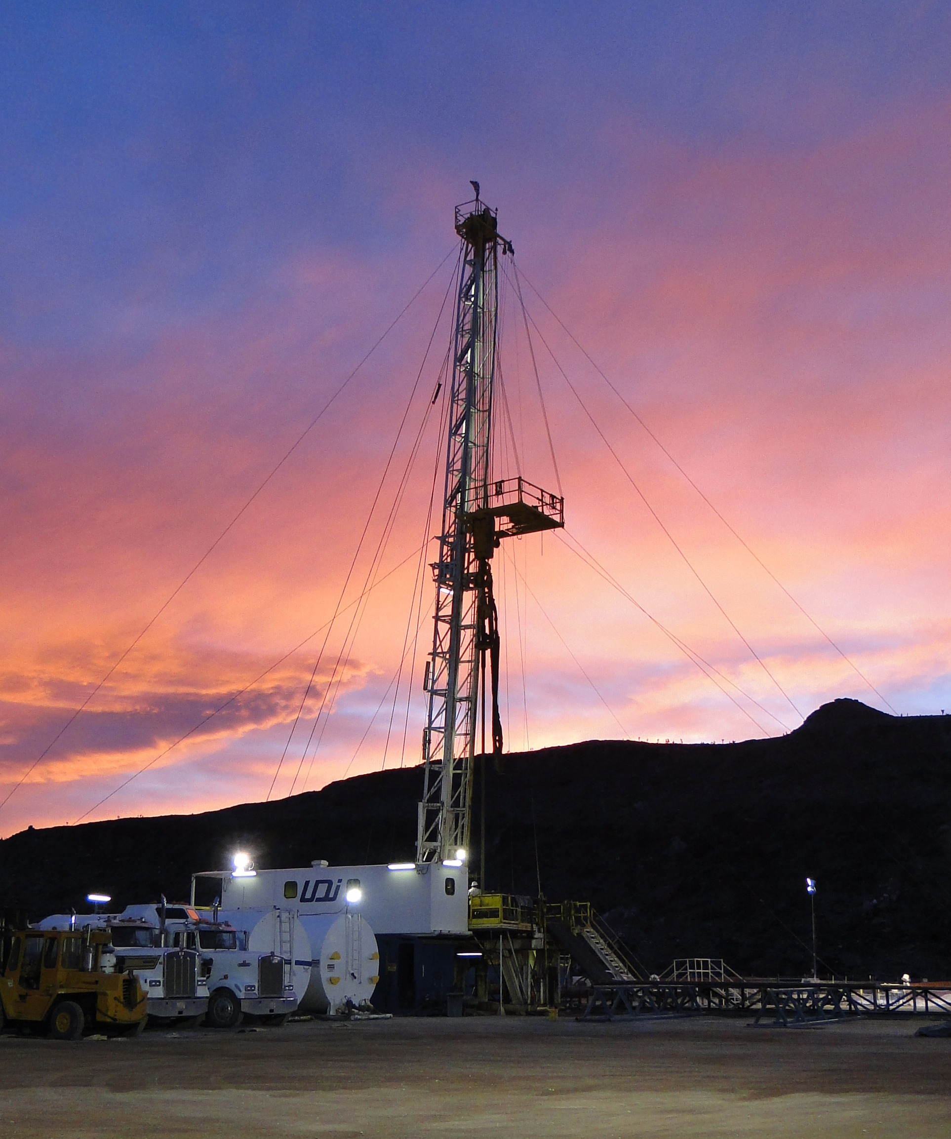
| Description | Groundwater specialists completed the drilling of two characterization wells in the northwestern region of the NNSS known as Pahute Mesa. These wells, each approximately 3,400 feet deep, are part of a larger well network that provides scientists critical data about water chemistry, geology and the potential groundwater flow paths at the NNSS. In this photo, workers drill a well at Pahute Mesa. |
| Date | |
| Source | Drilling at NNSS |
| Author | ENERGY.GOV |
Licensing
[edit].jpg&action=edit§ion=2)
| This image is a work of a United States Department of Energy (or predecessor organization) employee, taken or made as part of that person's official duties. As a work of the U.S. federal government, the image is in the public domain.
Please note that national laboratories operate under varying licences and some are not free. Check the site policies of any national lab before crediting it with this tag.
|

|
| This image was originally posted to Flickr by ENERGY.GOV at https://www.flickr.com/photos/37916456@N02/7597420346. It was reviewed on 12 October 2014 by FlickreviewR and was confirmed to be licensed under the terms of the United States Government Work. |
File history
Click on a date/time to view the file as it appeared at that time.
| Date/Time | Thumbnail | Dimensions | User | Comment | |
|---|---|---|---|---|---|
| current | 20:46, 12 October 2014 | | 1,926 × 2,307 (2.51 MB) | Bomazi (talk | contribs) | Transferred from Flickr via Flickr2commons |
You cannot overwrite this file.
File usage on Commons
There are no pages that use this file.
.jpg&oldid=900648643)