File:Drezdenko (gmina) location map.png

Original file (1,941 × 2,048 pixels, file size: 760 KB, MIME type: image/png)
Captions
Captions
Summary
[edit]_location_map.png&action=edit§ion=1)
| Description |
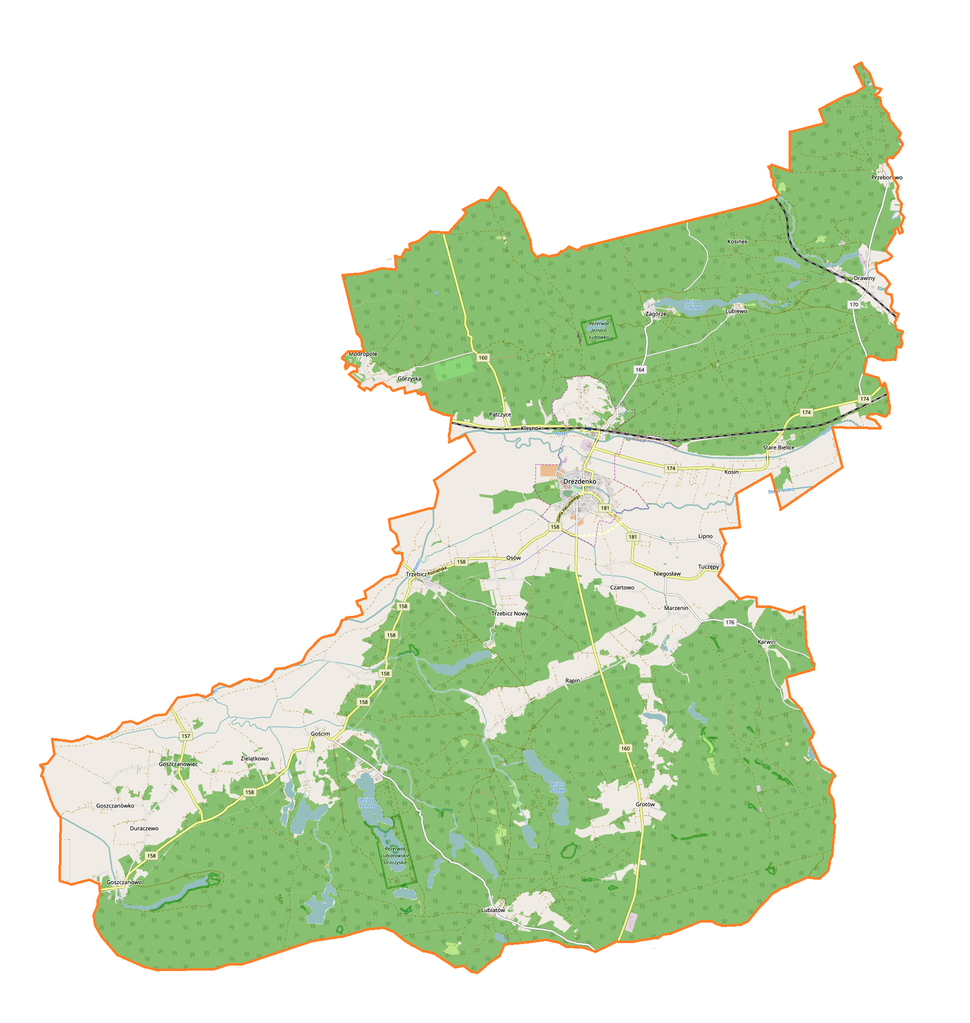
English: Location map |
| Date | |
| Source | Own work |
| Author | Smat |
| Description |
Polski: Mapa gminy Drezdenko, Polska
English: Map of Drezdenko (gmina), Poland |
|||||||||
| Date | ||||||||||
| Source | You may find a page on the OpenStreetMap wiki page for Drezdenko (gmina) | |||||||||
| Creator |
OpenStreetMap contributors OpenStreetMap contributors |
|||||||||
| Permission (Reusing this file) |
OpenStreetMap data is available under the Open Database License (details). Map tiles are licensed under the Creative Commons Attribution-ShareAlike 2.0 license (CC-BY-SA 2.0).
This file is licensed under the Creative Commons Attribution-Share Alike 2.0 Generic license.
|
|||||||||
| Geotemporal data | ||||||||||
| Bounding box |
|
|||||||||
| Georeferencing | If inappropriate please set warp_status = skip to hide. | |||||||||
Licensing
[edit]_location_map.png&action=edit§ion=2)
| This work contains information from OpenStreetMap, which is made available under the Open Database License (ODbL).
The ODbL does not require any particular license for maps produced from ODbL data. Prior to 1 August 2020, map tiles produced by the OpenStreetMap Foundation were licensed under the CC-BY-SA-2.0 license. Maps produced by other people may be subject to other licences. |
File history
Click on a date/time to view the file as it appeared at that time.
| Date/Time | Thumbnail | Dimensions | User | Comment | |
|---|---|---|---|---|---|
| current | 09:00, 7 August 2017 | | 1,941 × 2,048 (760 KB) | Smat (talk | contribs) | User created page with UploadWizard |
You cannot overwrite this file.
File usage on Commons
There are no pages that use this file.
File usage on other wikis
The following other wikis use this file:
- Usage on fr.wikipedia.org
- Usage on pl.wikipedia.org
- Drezdenko
- Solecko
- Duraczewo
- Drawiny
- Górzyska
- Goszczanowiec
- Goszczanowo
- Goszczanówko
- Gościm
- Klesno
- Modropole
- Osów (województwo lubuskie)
- Przeborowo
- Rąpin
- Trzebicz (województwo lubuskie)
- Trzebicz-Młyn
- Trzebicz Nowy
- Niegosław (województwo lubuskie)
- Bagniewo (województwo lubuskie)
- Czartowo (województwo lubuskie)
- Karwin (województwo lubuskie)
- Kijów (województwo lubuskie)
- Kosin (województwo lubuskie)
- Lubiewo (województwo lubuskie)
- Marzenin (województwo lubuskie)
- Stare Bielice (województwo lubuskie)
- Zielątkowo (województwo lubuskie)
- Grotów (powiat strzelecko-drezdenecki)
- Lubiatów (powiat strzelecko-drezdenecki)
- Zagórze (powiat strzelecko-drezdenecki)
- Lipno (powiat strzelecko-drezdenecki)
- Tuczępy (województwo lubuskie)
- Jelenia Głowa (Grotów)
- Stare Krzywki
- Nowe Drezdenko (stacja kolejowa)
- Hutniki
- Kościół Przemienienia Pańskiego w Drezdenku
- Rezerwat przyrody Czaplenice
- Lubiatówko (jezioro)
- Wikipedysta:Khan Tengri/brudnopis
- Rezerwat przyrody Łabędziniec
- Rezerwat przyrody Lubiatowskie Uroczyska
- Drawiny (stacja kolejowa)
- Rezerwat przyrody Czaplisko
- Rezerwat przyrody Jezioro Łubówko
- Drezdenko (stacja kolejowa)
- Parafia Przemienienia Pańskiego w Drezdenku
- Parafia Najświętszego Serca Jezusowego w Drezdenku
- Parafia św. Jana Kantego w Niegosławiu
View more global usage of this file.
_location_map.png)
_location_map.png&oldid=607600069)