File:Drawsko Pomorskie (gmina) location map.png
Jump to navigation
Jump to search
Size of this preview: 420 × 600 pixels. Other resolutions: 168 × 240 pixels | 336 × 480 pixels | 868 × 1,239 pixels.
Original file (868 × 1,239 pixels, file size: 524 KB, MIME type: image/png)
Captions
Captions
Add a one-line explanation of what this file represents
| Description |
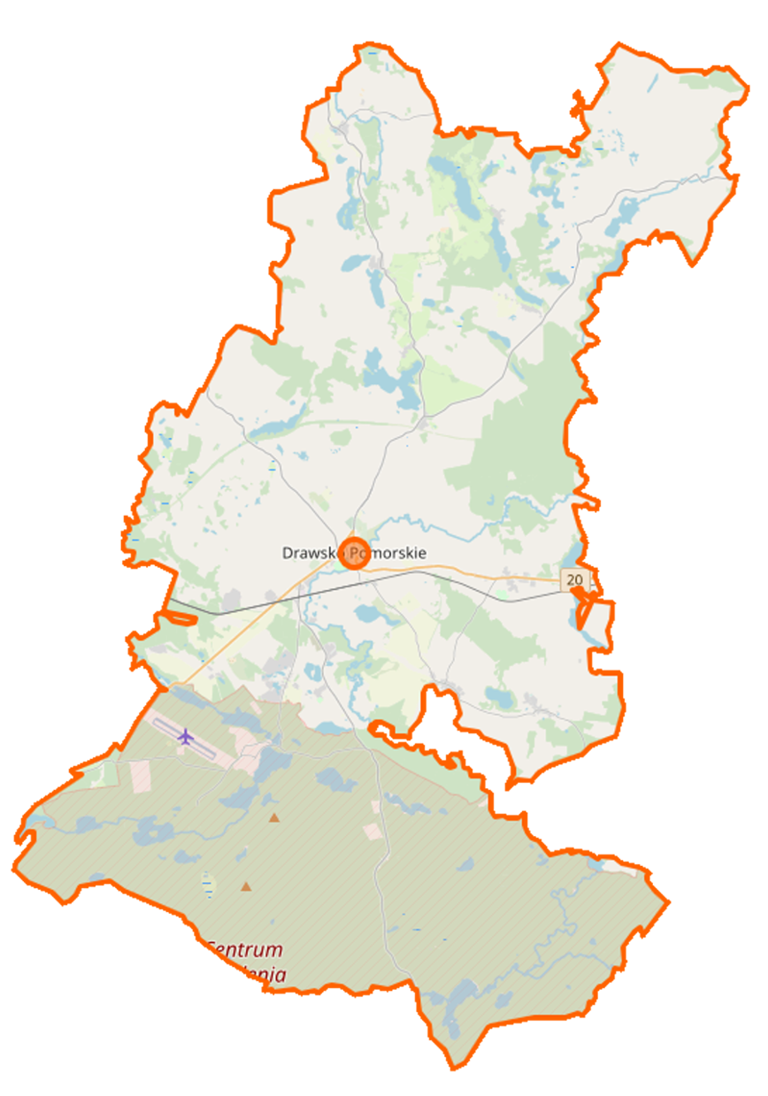
Polski: Mapa gminy Drawsko Pomorskie, Polska
English: Map of Gmina Drawsko Pomorskie, Poland |
|||||||||
| Date | ||||||||||
| Source | You may find a page on the OpenStreetMap wiki page for Drawsko Pomorskie (gmina) | |||||||||
| Creator |
OpenStreetMap contributors OpenStreetMap contributors |
|||||||||
| Permission (Reusing this file) |
OpenStreetMap data is available under the Open Database License (details). Map tiles are licensed under the Creative Commons Attribution-ShareAlike 2.0 license (CC-BY-SA 2.0).
This file is licensed under the Creative Commons Attribution-Share Alike 2.0 Generic license.
|
|||||||||
| Geotemporal data | ||||||||||
| Bounding box |
|
|||||||||
| Georeferencing | If inappropriate please set warp_status = skip to hide. | |||||||||
File history
Click on a date/time to view the file as it appeared at that time.
| Date/Time | Thumbnail | Dimensions | User | Comment | |
|---|---|---|---|---|---|
| current | 18:19, 23 January 2019 | | 868 × 1,239 (524 KB) | Matel4472 (talk | contribs) | Aktualizacja mapy |
| 12:45, 1 March 2015 |  | 868 × 1,340 (138 KB) | VanWiel (talk | contribs) | {{OpenStreetMap | name = Drawsko Pomorskie (gmina) | location = Drawsko Pomorskie (gmina) | description = {{pl|Mapa gminy Drawsko Pomorskie, Polska}} {{en|Map of Gmina Drawsko Pomorskie, Poland}} | top = 53... |
You cannot overwrite this file.
File usage on Commons
There are no pages that use this file.
File usage on other wikis
The following other wikis use this file:
- Usage on be.wikipedia.org
- Usage on fr.wikipedia.org
- Ostrowice
- Cianowo
- Dalewo (Drawsko)
- Gajewko
- Gajewo (Drawsko)
- Golina (Drawsko)
- Jankowo (Poméranie-Occidentale)
- Karwice (Drawsko)
- Konotop (Drawsko)
- Kumki (Pologne)
- Krzynno
- Gudowo
- Łabędzie (Poméranie-Occidentale)
- Lasocin (Poméranie-Occidentale)
- Linowno
- Mielenko Drawskie
- Nętno
- Olchowiec (Poméranie-Occidentale)
- Oleszno (Poméranie-Occidentale)
- Paprotno (Drawsko)
- Roztoki (Poméranie-Occidentale)
- Rydzewo (Poméranie-Occidentale)
- Suliszewo (Drawsko)
- Ustok
- Woliczno
- Zagórki (Poméranie-Occidentale)
- Zagozd
- Zarańsko
- Zbrojewo
- Ziemsko
- Żółcin
- Żołędowo (Poméranie-Occidentale)
- Żółte
- Borne (Drawsko)
- Dołgie (Drawsko)
- Jelenino (Drawsko)
- Przytoń (Drawsko)
- Donatowo (Poméranie-Occidentale)
- Grzybno (Drawsko)
- Jutrosin (Poméranie-Occidentale)
- Karpno (Drawsko)
- Kolno (Drawsko)
- Szczytniki (Drawsko)
- Przystanek (Poméranie-Occidentale)
- Kosobądź
- Tęczyn (Poméranie-Occidentale)
- Węglin (Poméranie-Occidentale)
- Usage on pl.wikipedia.org
View more global usage of this file.
_location_map.png)
_location_map.png&oldid=519962050)