File:Double Mouth view towards Morgans Bay - panoramio.jpg
Jump to navigation
Jump to search

Size of this preview: 800 × 451 pixels. Other resolutions: 320 × 180 pixels | 640 × 361 pixels | 1,024 × 577 pixels | 1,600 × 902 pixels.
Original file (1,600 × 902 pixels, file size: 541 KB, MIME type: image/jpeg)
Captions
Captions
Add a one-line explanation of what this file represents
Summary
[edit]
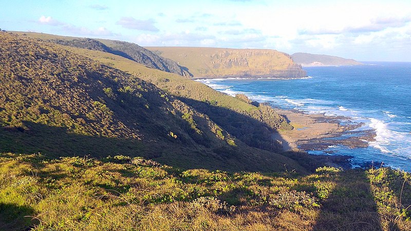
| Description | Double Mouth view towards Morgans Bay | ||
| Date | Taken on 26 December 2015 | ||
| Source | https://web.archive.org/web/20161030140437/http://www.panoramio.com/photo/127117925 | ||
| Author | Hendrik van den Berg | ||
| Permission (Reusing this file) |
This file is licensed under the Creative Commons Attribution 3.0 Unported license. Attribution: Hendrik van den Berg
|
||
| Panoramio Tags | Komga, Eastern Cape, ocean |
| Camera location | | View this and other nearby images on: OpenStreetMap |
|---|
File history
Click on a date/time to view the file as it appeared at that time.
| Date/Time | Thumbnail | Dimensions | User | Comment | |
|---|---|---|---|---|---|
| current | 11:38, 21 June 2017 | | 1,600 × 902 (541 KB) | Panoramio upload bot (talk | contribs) | == {{int:filedesc}} == {{Information |description=Double Mouth view towards Morgans Bay |date={{Taken on|2015-12-26}} |source=http://www.panoramio.com/photo/127117925 |author=[http://www.panoramio.com/user/1321709?with_photo_id=127117925 Hendrik van de... |
You cannot overwrite this file.
File usage on Commons
There are no pages that use this file.
File usage on other wikis
The following other wikis use this file:
- Usage on en.wikipedia.org