File:Dorset UK electoral ward map 2019 (blank).svg
Jump to navigation
Jump to search

Size of this PNG preview of this SVG file: 800 × 556 pixels. Other resolutions: 320 × 222 pixels | 640 × 445 pixels | 1,024 × 711 pixels | 1,280 × 889 pixels | 2,560 × 1,779 pixels | 1,425 × 990 pixels.
Original file (SVG file, nominally 1,425 × 990 pixels, file size: 2.54 MB)
Captions
Captions
Add a one-line explanation of what this file represents
Summary
[edit].svg&action=edit§ion=1)
| Description |
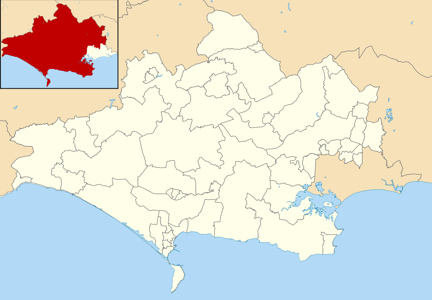
English: Blank map of Dorset, UK with electoral wards shown.
Equirectangular map projection on WGS 84 datum, with N/S stretched 155% Geographic limits:
|
| Date | |
| Source |
|
| Author | Ytfc23, created using Ordnance Survey data |
| Permission (Reusing this file) |
This file is licensed under the Creative Commons Attribution-Share Alike 3.0 Unported license. Attribution: Contains Ordnance Survey data © Crown copyright and database right
|
File history
Click on a date/time to view the file as it appeared at that time.
| Date/Time | Thumbnail | Dimensions | User | Comment | |
|---|---|---|---|---|---|
| current | 20:09, 1 May 2020 | | 1,425 × 990 (2.54 MB) | Ytfc23 (talk | contribs) | Uploaded a work by Ytfc23, created using Ordnance Survey data from Ordnance Survey [https://www.ordnancesurvey.co.uk/opendatadownload/products.html OpenData]. *Coastline and administrative boundary data from Boundary-Line product. *Lake data from Meridian 2 product. with UploadWizard |
You cannot overwrite this file.
File usage on Commons
The following 2 pages use this file:
File usage on other wikis
The following other wikis use this file:
- Usage on en.wikipedia.org
- List of electoral wards in Dorset
- Dorset (district)
- Beacon (ward)
- Beaminster (ward)
- Blackmore Vale (ward)
- Blandford (ward)
- Bridport (ward)
- Chalk Valleys (ward)
- Charminster St Mary's (ward)
- Chesil Bank (ward)
- Chickerell (ward)
- Colehill and Wimborne Minster East (ward)
- Corfe Mullen (ward)
- Cranborne and Alderholt (ward)
- Cranborne Chase (ward)
- Crossways (ward)
- Dorchester East (ward)
- Dorchester Poundbury (ward)
- Dorchester West (ward)
- Eggardon (ward)
- Ferndown North (ward)
- Ferndown South (ward)
- Gillingham (ward)
- Hill Forts and Upper Tarrants (ward)
- Littlemoor and Preston (ward)
- Lyme and Charmouth (ward)
- Lytchett Matravers and Upton (ward)
- Marshwood Vale (ward)
- Melcombe Regis (ward)
- Portland (ward)
- Puddletown and Lower Winterborne (ward)
- Radipole (ward)
- Rodwell and Wyke (ward)
- Shaftesbury Town (ward)
- Sherborne East (ward)
- Sherborne Rural (ward)
- Sherborne West (ward)
- South East Purbeck (ward)
- St Leonards and St Ives (ward)
- Stalbridge and Marnhull (ward)
- Stour and Allen Vale (ward)
- Sturminster Newton (ward)
- Swanage (ward)
- Upwey and Broadwey (ward)
- Verwood (ward)
- Wareham (ward)
- Westham (ward)
- West Moors and Three Legged Cross (ward)
- West Parley (ward)
- West Purbeck (ward)
View more global usage of this file.
.svg)
.svg&oldid=495028695)