File:Door County Photography Award.svg
Jump to navigation
Jump to search

Size of this PNG preview of this SVG file: 747 × 381 pixels. Other resolutions: 320 × 163 pixels | 640 × 326 pixels | 1,024 × 522 pixels | 1,280 × 653 pixels | 2,560 × 1,306 pixels.
Original file (SVG file, nominally 747 × 381 pixels, file size: 411 KB)
Captions
Captions
Add a one-line explanation of what this file represents
Summary
[edit]| Description |
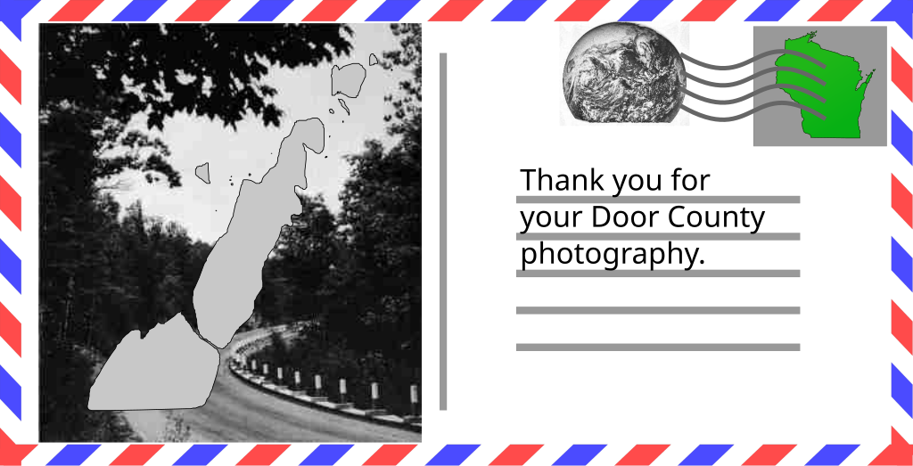
English: Door County Photography Award |
|||||||||||||
| Date | ||||||||||||||
| Source | Modified from File:Postcard_(International)_Clipart.svg, File:WI-Icon.svg, File:North America on April 16, 1972, cropped from AS16-118-18880.png, Wisconsin Editable Maps (.ppt), and Among the state parks and forests of Wisconsin, 1949 version | |||||||||||||
| Author | compiled by User:Epiphyllumlover, images from Benjamin Mako Hill, NASA, the Wisconsin Department of Natural Resources, with the map of Door County by Rozalynn M. Klaas, UW-Madison Applied Population Lab, in cooperation with Bethany Laursen, UW-Extension’s SHWEC in February 2015, and the green Wisconsin icon is by w:User:Aviper2k7. | |||||||||||||
| Permission (Reusing this file) |
Wisconsin Editable Maps was released into the public domain by the authors; see the file link above on the first page where it states, "This work (The Wisconsin Maps PowerPoint) is free of known copyright restrictions."; Postcard_(International)_Clipart.svg was placed into This file is licensed under the Creative Commons Attribution-Share Alike 4.0 International license.
Aviper2k7 at the English-language Wikipedia, the copyright holder of this work, hereby publishes it under the following license:
|


_Clipart.svg)
Licensing
[edit]
This file is licensed under the Creative Commons Attribution-Share Alike 4.0 International license.
- You are free:
- to share – to copy, distribute and transmit the work
- to remix – to adapt the work
- Under the following conditions:
- attribution – You must give appropriate credit, provide a link to the license, and indicate if changes were made. You may do so in any reasonable manner, but not in any way that suggests the licensor endorses you or your use.
- share alike – If you remix, transform, or build upon the material, you must distribute your contributions under the same or compatible license as the original.
File history
Click on a date/time to view the file as it appeared at that time.
| Date/Time | Thumbnail | Dimensions | User | Comment | |
|---|---|---|---|---|---|
| current | 23:35, 1 June 2022 | | 747 × 381 (411 KB) | Epiphyllumlover (talk | contribs) | Uploaded a work by compiled by User:Epiphyllumlover from Modified from File:Postcard_(International)_Clipart.svg, File:File:WI-Icon.svg, File:North America on April 16, 1972, cropped from AS16-118-18880.png, [https://apl.wisc.edu/publications/WI_Maps.pptx Wisconsin Editable Maps] (.ppt), and [https://babel.hathitrust.org/cgi/pt?id=wu.89044381846&view=1up&seq=19 Among the state parks and forests of Wisconsin], 1949 version with UploadWizard |
You cannot overwrite this file.
File usage on Commons
There are no pages that use this file.