File:Disused car park above Black Gutter Bottom, New Forest - geograph.org.uk - 277149.jpg
Jump to navigation
Jump to search
No higher resolution available.
Disused_car_park_above_Black_Gutter_Bottom,_New_Forest_-_geograph.org.uk_-_277149.jpg (640 × 480 pixels, file size: 99 KB, MIME type: image/jpeg)
Captions
Captions
Add a one-line explanation of what this file represents
Summary
[edit]
| Description |
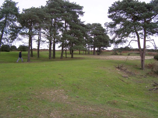
English: Disused car park above Black Gutter Bottom, New Forest Alongside the B3078 road on Deadman Hill, these pine trees surround an old gravel car park - no longer open to the public. I believe this spot was also the site of the 'North Tower' of the Ashley Walk bombing range during the Second World War. |
| Date | |
| Source | From geograph.org.uk |
| Author | Jim Champion |
| Attribution (required by the license) | Jim Champion / Disused car park above Black Gutter Bottom, New Forest / |
| Object location | | View this and other nearby images on: OpenStreetMap |
|---|
_heading:67.00&language=en)
Licensing
[edit]

|
This image was taken from the Geograph project collection. See this photograph's page on the Geograph website for the photographer's contact details. The copyright on this image is owned by Jim Champion and is licensed for reuse under the Creative Commons Attribution-ShareAlike 2.0 license.
|
This file is licensed under the Creative Commons Attribution-Share Alike 2.0 Generic license.
Attribution: Jim Champion
- You are free:
- to share – to copy, distribute and transmit the work
- to remix – to adapt the work
- Under the following conditions:
- attribution – You must give appropriate credit, provide a link to the license, and indicate if changes were made. You may do so in any reasonable manner, but not in any way that suggests the licensor endorses you or your use.
- share alike – If you remix, transform, or build upon the material, you must distribute your contributions under the same or compatible license as the original.
File history
Click on a date/time to view the file as it appeared at that time.
| Date/Time | Thumbnail | Dimensions | User | Comment | |
|---|---|---|---|---|---|
| current | 19:26, 12 December 2010 | | 640 × 480 (99 KB) | GeographBot (talk | contribs) | == {{int:filedesc}} == {{Information |description={{en|1=Disused car park above Black Gutter Bottom, New Forest Alongside the B3078 road on Deadman Hill, these pine trees surround an old gravel car park - no longer open to the public. I believe this spot |
You cannot overwrite this file.
File usage on Commons
There are no pages that use this file.