File:Dilsberg from Neckarriedkopfhütte.jpg
Jump to navigation
Jump to search
Size of this preview: 800 × 505 pixels. Other resolutions: 320 × 202 pixels | 640 × 404 pixels | 900 × 568 pixels.
Original file (900 × 568 pixels, file size: 352 KB, MIME type: image/jpeg)
Captions
Captions
Add a one-line explanation of what this file represents
Summary
[edit]
| Description |
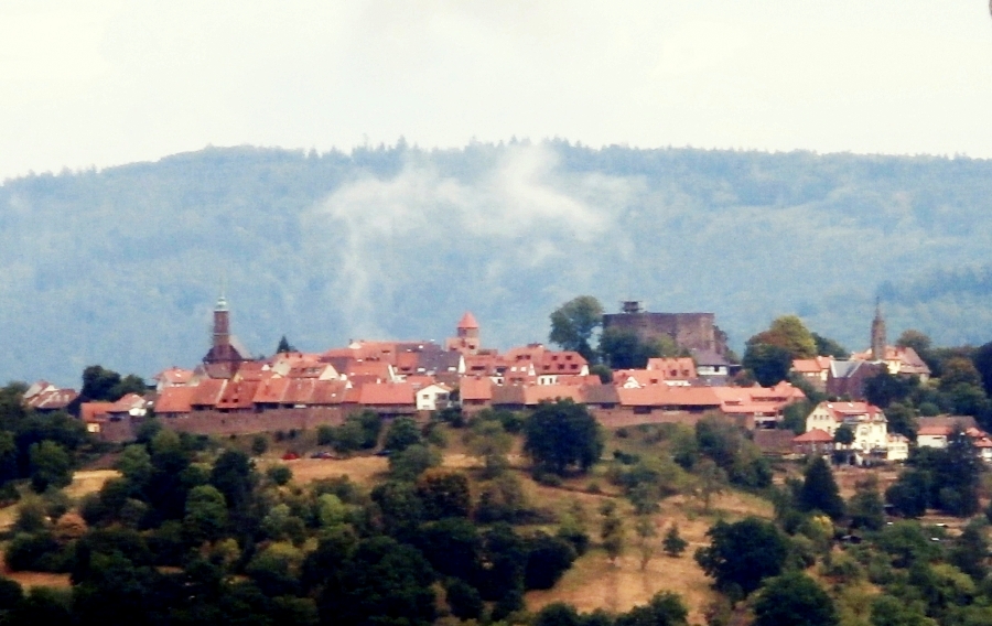
English: Dilsberg (Baden-Wurttemberg) seen from the Neckarriedkopf hut near Neckargemund. 49° 23′ 57″ N, 8° 50′ 09″ E |
| Date | |
| Source | Own work |
| Author | Sarang |
| Other versions |
 |
| Camera location | | View this and other nearby images on: OpenStreetMap |
|---|
Licensing
[edit]
| I, the copyright holder of this work, release this work into the public domain. This applies worldwide. In some countries this may not be legally possible; if so: I grant anyone the right to use this work for any purpose, without any conditions, unless such conditions are required by law. |
File history
Click on a date/time to view the file as it appeared at that time.
| Date/Time | Thumbnail | Dimensions | User | Comment | |
|---|---|---|---|---|---|
| current | 09:26, 24 October 2022 | | 900 × 568 (352 KB) | Zwiadowca21 (talk | contribs) | lekko poprawiono kolory |
| 17:06, 11 September 2022 |  | 900 × 568 (310 KB) | Sarang (talk | contribs) | {{Inform |date=2022-08-20 |auth=Sarang |lice=self |cloc=49°23′16.8″N 08°47′22.7″E/heading:NEbE |oloc=49° 23′ 57″ N, 8° 50′ 09″ E |vers= }} Category:Dilsberg Category:Neckarsteig Etappe 1 |
You cannot overwrite this file.
File usage on Commons
The following 4 pages use this file: