File:Die Taft in Wenigentaft Pic2.JPG
Jump to navigation
Jump to search

Size of this preview: 800 × 600 pixels. Other resolutions: 320 × 240 pixels | 640 × 480 pixels | 1,024 × 768 pixels | 1,280 × 960 pixels | 2,560 × 1,920 pixels | 5,184 × 3,888 pixels.
Original file (5,184 × 3,888 pixels, file size: 4.22 MB, MIME type: image/jpeg)
Captions
Captions
Add a one-line explanation of what this file represents
Summary
[edit]
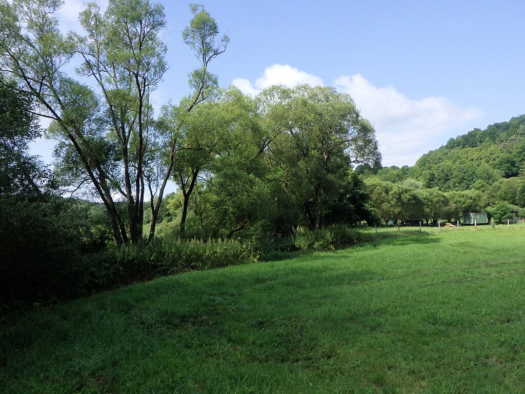
| Description | Bilderserie zu OSM-Belegmotiven aus Wenigentaft im Wartburgkreis. Bildmotiv: die Taft ist ein Zufluss der Ulster. Am nordöstlichen Ortsrand, etwa 200 m vom einstigen Bahnhof mündet sie Taft in die Ulster. Wiese oberhalb des Ortes an der Taft. |
| Date | |
| Source | Own work |
| Author | EACC80 |
Licensing
[edit]
I, the copyright holder of this work, hereby publish it under the following licenses:

|
Permission is granted to copy, distribute and/or modify this document under the terms of the GNU Free Documentation License, Version 1.2 or any later version published by the Free Software Foundation; with no Invariant Sections, no Front-Cover Texts, and no Back-Cover Texts. A copy of the license is included in the section entitled GNU Free Documentation License. |
This file is licensed under the Creative Commons Attribution 3.0 Unported license.
- You are free:
- to share – to copy, distribute and transmit the work
- to remix – to adapt the work
- Under the following conditions:
- attribution – You must give appropriate credit, provide a link to the license, and indicate if changes were made. You may do so in any reasonable manner, but not in any way that suggests the licensor endorses you or your use.
You may select the license of your choice.
File history
Click on a date/time to view the file as it appeared at that time.
| Date/Time | Thumbnail | Dimensions | User | Comment | |
|---|---|---|---|---|---|
| current | 07:42, 29 July 2024 | | 5,184 × 3,888 (4.22 MB) | EACC80 (talk | contribs) | == {{int:filedesc}} == {{Information |Description=Bilderserie zu OSM-Belegmotiven aus Wenigentaft im Wartburgkreis. Bildmotiv: Die Taftbrücke bei der Kirche von Wenigentaft. Die Taft ist ein Zufluss der Ulster. Am nordöstlichen Ortsrand, etwa 200 m vom einstigen Bahnhof mündet sie Taft in die Ulster. In der Ortslage verläuft ein Mühlgraben, der etwa 500 m oberhalb des Ortes durch ein Wehr reguliert wurde, die zugehörige Mühle in der Ortslage wurde vor einigen Jahren abgebrochen. Kurz vor der... |
You cannot overwrite this file.
File usage on Commons
There are no pages that use this file.