File:Detail of 1811 Paxton map Jackson opp. p.176.jpg
Jump to navigation
Jump to search
Size of this preview: 493 × 600 pixels. Other resolutions: 197 × 240 pixels | 394 × 480 pixels | 762 × 927 pixels.
Original file (762 × 927 pixels, file size: 190 KB, MIME type: image/jpeg)
Captions
Captions
Add a one-line explanation of what this file represents
Summary
[edit]
| Description |
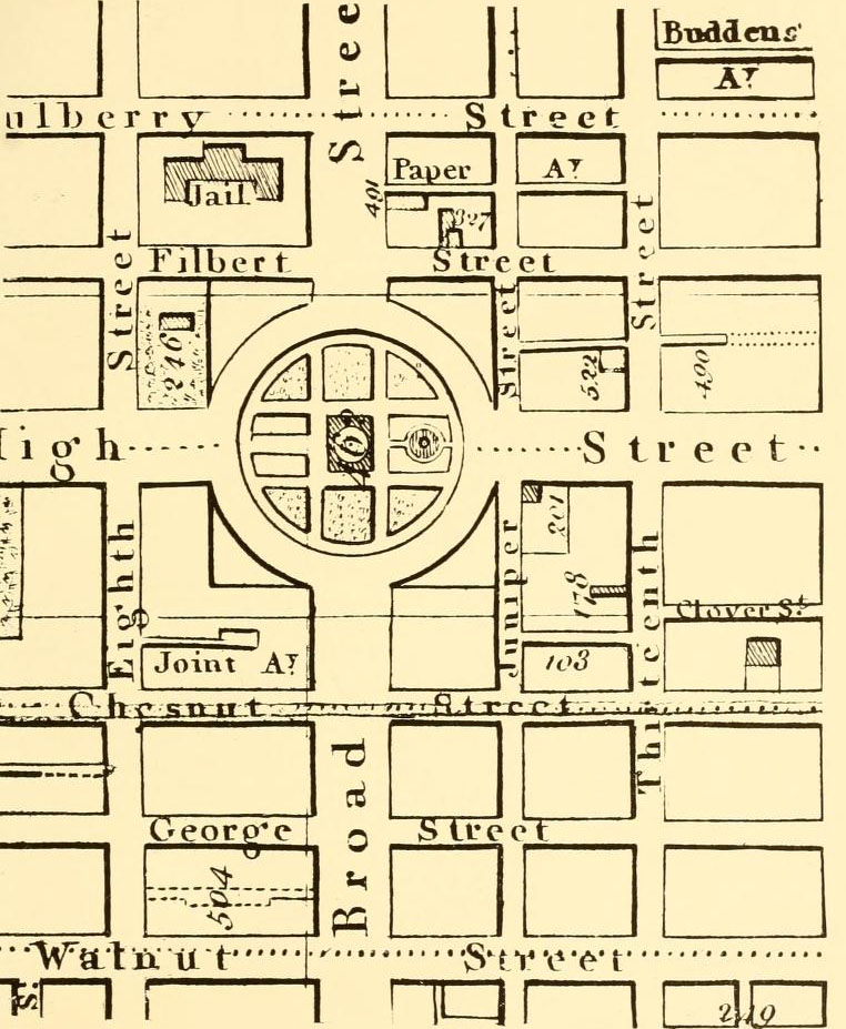
English: Detail of the 1811 Paxton Map of Philadelphia. |
| Date | |
| Source | Joseph F. A. Jackson, Market Street, Philadelphia: The Most Historic Highway in America (Philadelphia: The Public Ledger Company, 1918), opposite page 176.[1] |
| Author |
John Adams Paxton (1742-1816), cartographer Joseph Francis Ambrose Jackson (1867-1946), historian |
Licensing
[edit]
|
This work is in the public domain in its country of origin and other countries and areas where the copyright term is the author's life plus 70 years or fewer. This work is in the public domain in the United States because it was published (or registered with the U.S. Copyright Office) before January 1, 1929. | |
| This file has been identified as being free of known restrictions under copyright law, including all related and neighboring rights. | |
File history
Click on a date/time to view the file as it appeared at that time.
| Date/Time | Thumbnail | Dimensions | User | Comment | |
|---|---|---|---|---|---|
| current | 00:06, 22 October 2020 | | 762 × 927 (190 KB) | BoringHistoryGuy (talk | contribs) | {{Information |description ={{en|1=Detail of the 1811 Paxton Map of Philadelphia.}} |date =1811 |source =Joseph F. A. Jackson, ''Market Street, Philadelphia: The Most Historic Highway in America'' (Philadelphia: The Public Ledger Company, 1918), opposite page 176.[https://archive.org/details/marketstreetphil00jack/page/176/mode/2up] |author =John Adams Paxton (1742-1816), cartographer<br>Joseph Francis Ambrose Jackson (1867-1946), historian }} [[Category:1811 maps of... |
You cannot overwrite this file.
File usage on Commons
There are no pages that use this file.