File:Derelict Administration Building, West Park Hospital - geograph.org.uk - 2145431.jpg
Jump to navigation
Jump to search
No higher resolution available.
Derelict_Administration_Building,_West_Park_Hospital_-_geograph.org.uk_-_2145431.jpg (640 × 480 pixels, file size: 68 KB, MIME type: image/jpeg)
Captions
Captions
Add a one-line explanation of what this file represents
Summary
[edit]| Description |
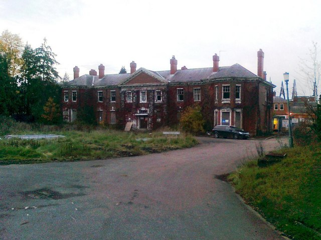
English: Derelict Administration Building, West Park Hospital |
||
| Date | |||
| Source | geograph.org.uk | ||
| Author | David Gearing | ||
| Permission (Reusing this file) |
This file is licensed under the Creative Commons Attribution-Share Alike 2.0 Generic license. Attribution: David Gearing
|
||
| Attribution (required by the license) | David Gearing / Derelict Administration Building, West Park Hospital / | ||

| Camera location | | View this and other nearby images on: OpenStreetMap |
|---|
_region:GB-GBN_heading:315.00&language=en)
| Object location | | View this and other nearby images on: OpenStreetMap |
|---|
_region:GB-GBN_heading:315.00&language=en)
File history
Click on a date/time to view the file as it appeared at that time.
| Date/Time | Thumbnail | Dimensions | User | Comment | |
|---|---|---|---|---|---|
| current | 14:42, 6 October 2018 | | 640 × 480 (68 KB) | Dormskirk (talk | contribs) | {{Information |description ={{en|1=Derelict Administration Building, West Park Hospital}} |date =2 November 2010 |source =[https://www.geograph.org.uk/photo/2145431 geograph.org.uk] |author =[https://www.geograph.org.uk/profile/44782 David Gearing] |permission ={{Geograph|2145431|David Gearing}} }} Category:West Park Hospital, Epsom |
You cannot overwrite this file.
File usage on Commons
The following page uses this file:
File usage on other wikis
The following other wikis use this file:
- Usage on en.wikipedia.org
- Usage on www.wikidata.org