File:Den Haag 4.30001E 52.08334N.jpg
Jump to navigation
Jump to search
Size of this preview: 800 × 599 pixels. Other resolutions: 320 × 240 pixels | 640 × 479 pixels | 1,024 × 766 pixels | 1,280 × 958 pixels.
Original file (1,280 × 958 pixels, file size: 173 KB, MIME type: image/jpeg)
Captions
Captions
Add a one-line explanation of what this file represents
Summary
[edit]
| Description |
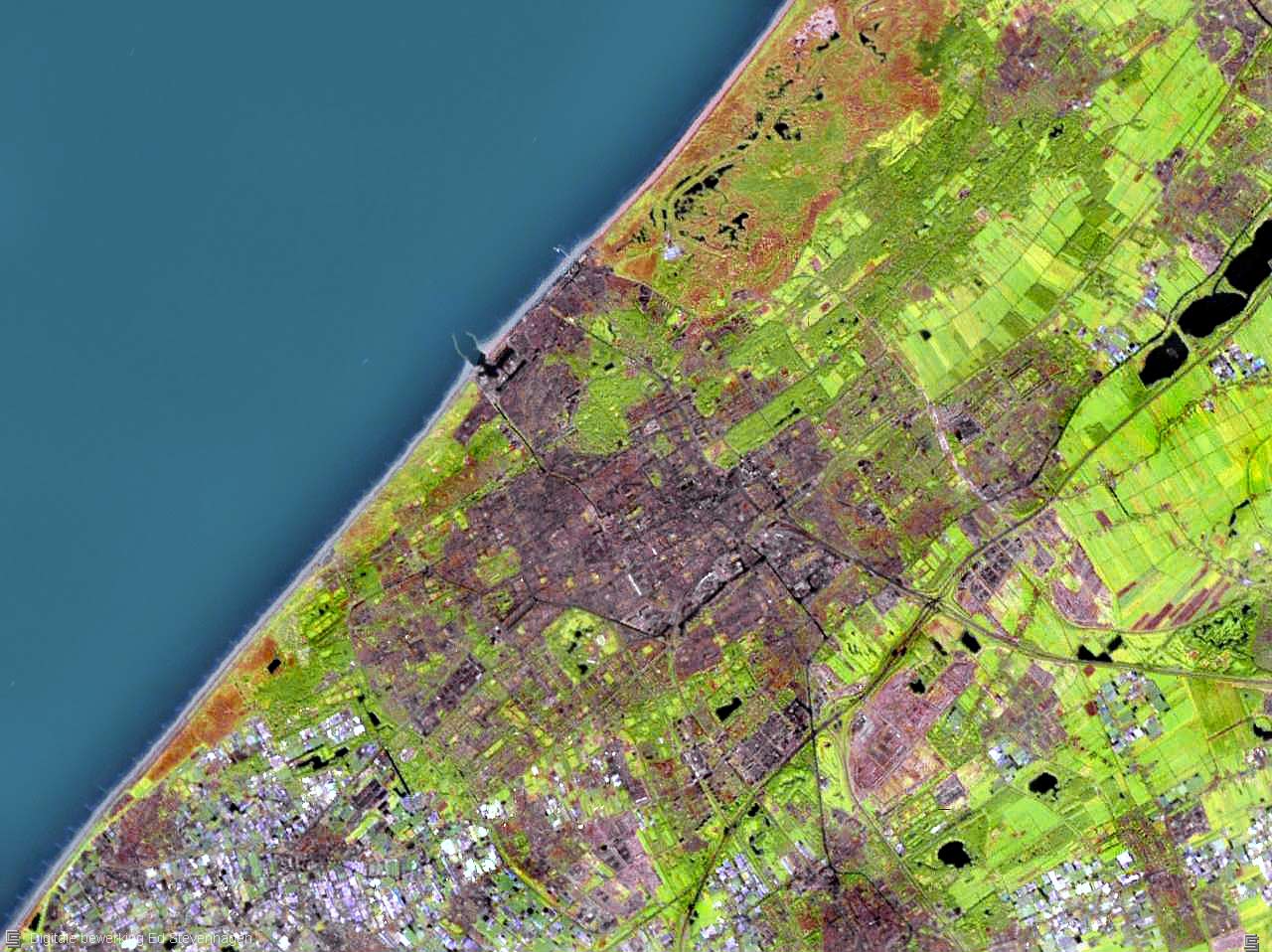
Nederlands: Satellietfoto van Den Haag, Scheveningen, Monster, 's-Gravezande, Loosduinen, Delft, Pijnacker, Nootdorp, Leidschendam, Voorburg, Voorschoten, Wassenaar. |
| Date | Upload date of original: 2005-05-14 |
| Source |
|
| Author | Photograph: NASA |
Licensing
[edit]
| This image is in the public domain because it is a screenshot from NASA’s globe software World Wind using a public domain layer, such as Blue Marble, MODIS, Landsat, SRTM, USGS or GLOBE.
|
 |
Original upload log
[edit]
The original description page was here. All following user names refer to nl.wikipedia.
- 2005-07-12 17:19 Ed Stevenhagen 1280×958×8 (176772 bytes) Bewerking van Afbeelding:The Hague 4.30001E 52.08334N.jpg ~~~~ Den Haag, Scheveningen, Monster, 's-Gravezande, Loosduinen, Delft, Pijnacker, Nootdorp, Leidschendam, Voorburg, Voorschoten, Wassenaar. De informatie over deze afbeelding is afkomstig van de
File history
Click on a date/time to view the file as it appeared at that time.
| Date/Time | Thumbnail | Dimensions | User | Comment | |
|---|---|---|---|---|---|
| current | 20:23, 7 March 2008 | | 1,280 × 958 (173 KB) | File Upload Bot (Magnus Manske) (talk | contribs) | {{BotMoveToCommons|nl.wikipedia}} {{Information |Description={{nl|Bewerking van Afbeelding:The Hague 4.30001E 52.08334N.jpg Ed Stevenhagen 12 jul 2005 19:19 (CEST) Den Haag, Scheveningen, Monster, 's-Gravezande, Loosduine |
You cannot overwrite this file.
File usage on Commons
There are no pages that use this file.
File usage on other wikis
The following other wikis use this file:
- Usage on id.wikipedia.org
- Usage on ms.wikipedia.org
- Usage on nl.wikipedia.org