File:De Haere protestleuzen.jpg
Jump to navigation
Jump to search
Size of this preview: 799 × 600 pixels. Other resolutions: 320 × 240 pixels | 640 × 480 pixels | 1,024 × 768 pixels | 1,280 × 960 pixels | 2,560 × 1,921 pixels | 2,788 × 2,092 pixels.
Original file (2,788 × 2,092 pixels, file size: 1.49 MB, MIME type: image/jpeg)
Captions
Captions
Add a one-line explanation of what this file represents
Summary
[edit]
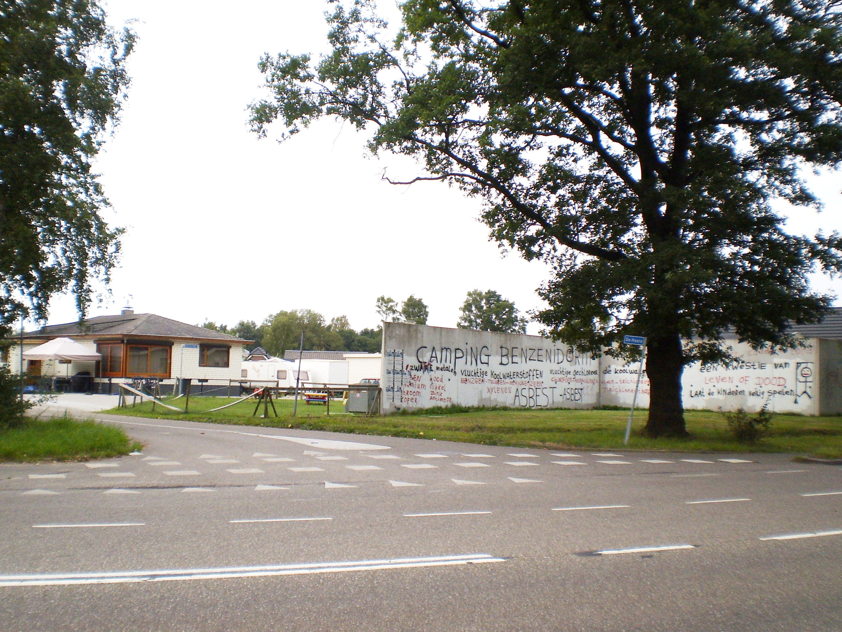
| Description | Toegang buurtschap De Haere (gem. Apeldoorn) met protestleuzen tegen bodemsanering |
| Date | |
| Source | Own work |
| Author | Apdency |
| Camera location | | View this and other nearby images on: OpenStreetMap |
|---|
Licensing
[edit]
| I, the copyright holder of this work, release this work into the public domain. This applies worldwide. In some countries this may not be legally possible; if so: I grant anyone the right to use this work for any purpose, without any conditions, unless such conditions are required by law. |
File history
Click on a date/time to view the file as it appeared at that time.
| Date/Time | Thumbnail | Dimensions | User | Comment | |
|---|---|---|---|---|---|
| current | 11:51, 2 December 2012 | | 2,788 × 2,092 (1.49 MB) | Apdency (talk | contribs) | Brightness adjustment |
| 18:59, 9 September 2009 |  | 2,788 × 2,092 (1.42 MB) | Apdency (talk | contribs) | {{Information |Description=Toegang buurtschap De Haere (gem. Apeldoorn) met protestleuzen tegen bodemsanering |Source=Own work by uploader |Date=2009-08-26 |Author=Apdency |Permission= |other_versions= }} [[Category:Cities, towns and vill |
You cannot overwrite this file.
File usage on Commons
There are no pages that use this file.