File:Daytona International Speedway.png
Jump to navigation
Jump to search

Size of this preview: 800 × 429 pixels. Other resolutions: 320 × 171 pixels | 640 × 343 pixels | 1,024 × 549 pixels | 1,280 × 686 pixels | 2,789 × 1,494 pixels.
Original file (2,789 × 1,494 pixels, file size: 195 KB, MIME type: image/png)
Captions
Captions
Add a one-line explanation of what this file represents
Summary
[edit]| Description |
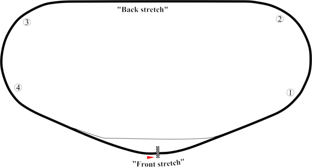
English: Track map of Daytona International Speedway showing mainly the speedway. This PNG version is intended for those with browsers like IE7 that don't support SVG. |
| Date | 7-8-2008 |
| Source | Own work |
| Author | Will Pittenger |
| Other versions |
|


| Camera location | | View this and other nearby images on: OpenStreetMap |
|---|
Licensing
[edit]
| I, the copyright holder of this work, release this work into the public domain. This applies worldwide. In some countries this may not be legally possible; if so: I grant anyone the right to use this work for any purpose, without any conditions, unless such conditions are required by law. |
File history
Click on a date/time to view the file as it appeared at that time.
| Date/Time | Thumbnail | Dimensions | User | Comment | |
|---|---|---|---|---|---|
| current | 10:16, 8 July 2008 | | 2,789 × 1,494 (195 KB) | Will Pittenger (talk | contribs) | {{Information |Description={{en|1=Track map of w:Daytona International Speedway showing mainly the speedway. This PNG version is intended for those with browsers like IE7 that don't support SVG.}} |Source=Own work by uploader |Author=[[User:Will Pit |
You cannot overwrite this file.
File usage on Commons
The following 3 pages use this file:
File usage on other wikis
The following other wikis use this file:
- Usage on de.wikipedia.org
- Usage on en.wikipedia.org
- 1979 Firecracker 400
- 2020 NASCAR Racing Experience 300
- 2021 Beef. It's What's for Dinner. 300
- 2018 NextEra Energy Resources 250
- 2018 PowerShares QQQ 300
- 2022 Lucas Oil 200
- 2022 Beef. It's What's for Dinner. 300
- 2022 NextEra Energy 250
- 2013 Subway Firecracker 250
- 2017 PowerShares QQQ 300
- 2017 Coca-Cola Firecracker 250
- 2014 DRIVE4COPD 300
- 2016 PowerShares QQQ 300
- 2023 BRANDT 200
- 2024 Hard Rock Bet 200
- Usage on fr.wikipedia.org
- Usage on it.wikipedia.org
- Usage on ja.wikipedia.org