File:David Evekinkstraat 1-17, Zutphen.jpg
Jump to navigation
Jump to search
Size of this preview: 800 × 537 pixels. Other resolutions: 320 × 215 pixels | 640 × 430 pixels | 1,024 × 688 pixels | 1,280 × 859 pixels | 2,048 × 1,375 pixels.
Original file (2,048 × 1,375 pixels, file size: 333 KB, MIME type: image/jpeg)
Captions
Captions
Add a one-line explanation of what this file represents
Summary
[edit]
| Description |
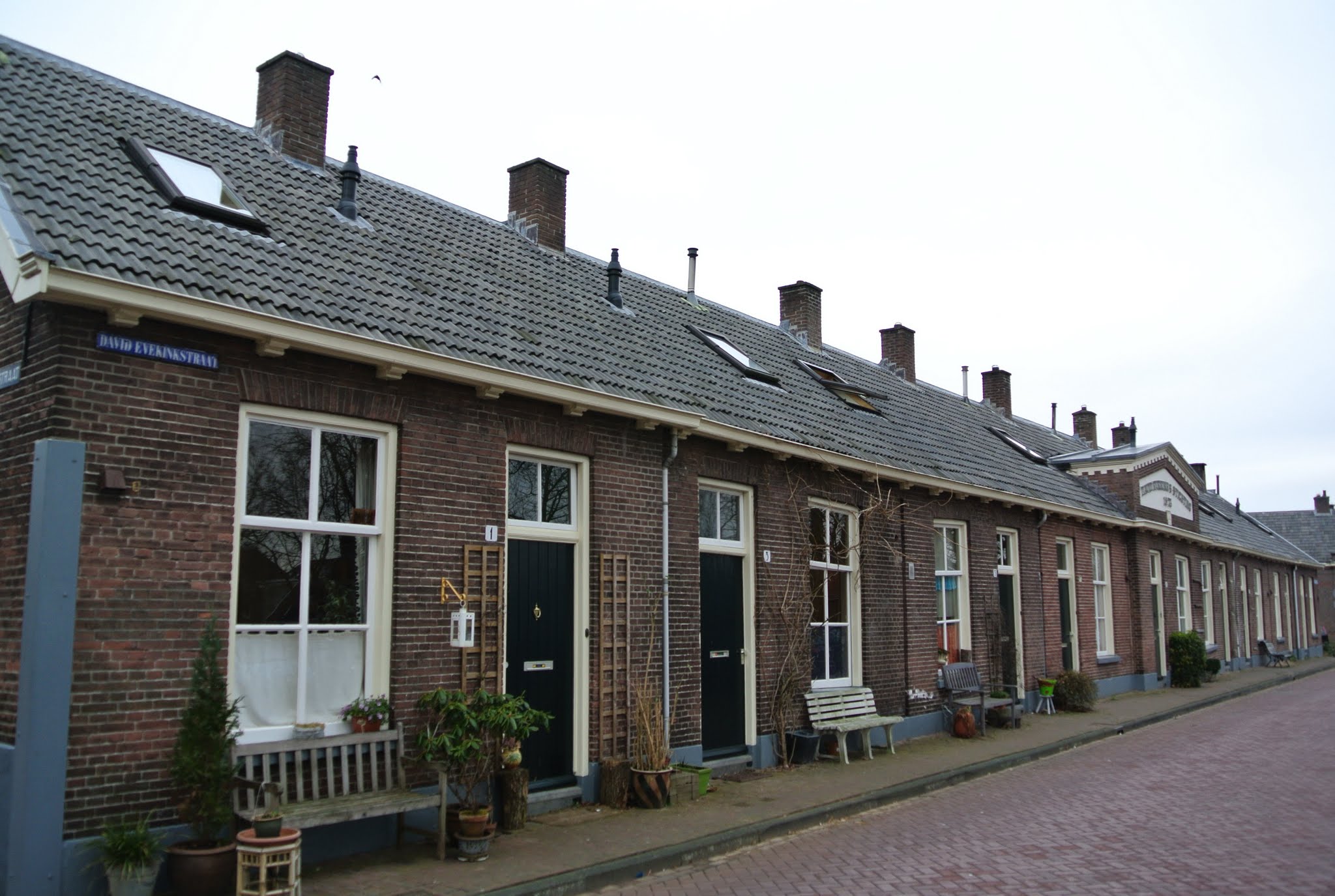
Zutphen, Netherlands
|
||
| Date | Taken on 16 March 2013 | ||
| Source | https://web.archive.org/web/20161025004251/http://www.panoramio.com/photo/87438137 | ||
| Author | Ben Bender | ||
| Permission (Reusing this file) |
This file is licensed under the Creative Commons Attribution-Share Alike 3.0 Unported license. Attribution: Ben Bender
|
||
| Tags (from Panoramio photo page) | Zutphen |
| Camera location | | View this and other nearby images on: OpenStreetMap |
|---|
File history
Click on a date/time to view the file as it appeared at that time.
| Date/Time | Thumbnail | Dimensions | User | Comment | |
|---|---|---|---|---|---|
| current | 03:22, 14 February 2017 | | 2,048 × 1,375 (333 KB) | Panoramio upload bot (talk | contribs) | == {{int:filedesc}} == {{Information |description=Zutphen, Netherlands |date={{Taken on|2013-03-16}} |source=http://www.panoramio.com/photo/87438137 |author=[http://www.panoramio.com/user/4678999?with_photo_id=87438137 Ben Bender] |permission={{cc-by-s... |
You cannot overwrite this file.
File usage on Commons
The following page uses this file:
- File:Zutphen, Netherlands - panoramio (39).jpg (file redirect)
.jpg&redirect=no)
File usage on other wikis
The following other wikis use this file:
- Usage on nl.wikipedia.org