File:Daventry Marker.png
Jump to navigation
Jump to search
No higher resolution available.
Daventry_Marker.png (552 × 600 pixels, file size: 90 KB, MIME type: image/png)
Captions
Captions
Add a one-line explanation of what this file represents
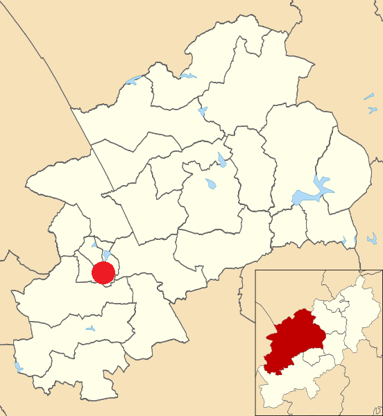
| Description | Map of Daventry, Northamptonshire, UK with electoral wards shown. |
| Date | |
| Source |
|
| Author | Nilfanion, created using Ordnance Survey data |
| Permission (Reusing this file) |
This file is licensed under the Creative Commons Attribution-Share Alike 3.0 Unported license. Attribution: Contains Ordnance Survey data © Crown copyright and database right
|
File history
Click on a date/time to view the file as it appeared at that time.
| Date/Time | Thumbnail | Dimensions | User | Comment | |
|---|---|---|---|---|---|
| current | 10:21, 20 February 2016 | | 552 × 600 (90 KB) | Kolforn (talk | contribs) | {{Information |Description=Map of Daventry, Northamptonshire, UK with electoral wards shown. |Source=Ordnance Survey [https://www.ordnancesurvey.co.uk/opendatadownload/products.html OpenData]. *Coastline and administrative boundar... |
You cannot overwrite this file.
File usage on Commons
The following page uses this file: