File:Darent and Cray.jpg
Jump to navigation
Jump to search
Size of this preview: 800 × 474 pixels. Other resolutions: 320 × 190 pixels | 640 × 380 pixels | 1,000 × 593 pixels.
Original file (1,000 × 593 pixels, file size: 117 KB, MIME type: image/jpeg)
Captions
Captions
Add a one-line explanation of what this file represents
Summary
[edit]
| Description |
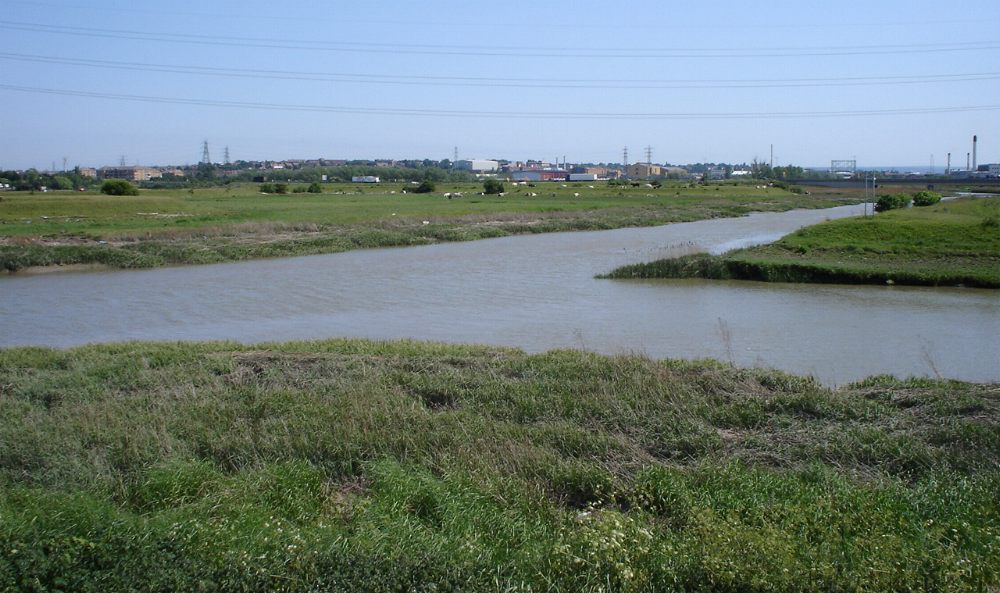
The confluence of the en:River Darent (left) and the en:River Cray (right) on Crayford Marshes, en:England. en:Category:Images of England |
||||
| Date | 1 July 2005 (original upload date) | ||||
| Source |
Originally from en.wikipedia; description page is/was here
|
||||
| Author | P Ingerson at English Wikipedia |
Licensing
[edit]
| This work has been released into the public domain by its author, P Ingerson at English Wikipedia. This applies worldwide. In some countries this may not be legally possible; if so: P Ingerson grants anyone the right to use this work for any purpose, without any conditions, unless such conditions are required by law. |
Original upload log
[edit]
(All user names refer to en.wikipedia)
- 2005-07-01 07:42 P Ingerson 1000×593×8 (120105 bytes) The confluence of the [[River Darent]] and the [[River Cray]] on Crayford Marshes. {{PD-self}}
File history
Click on a date/time to view the file as it appeared at that time.
| Date/Time | Thumbnail | Dimensions | User | Comment | |
|---|---|---|---|---|---|
| current | 18:14, 10 December 2005 | | 1,000 × 593 (117 KB) | Orgullomoore (talk | contribs) | ==From en:wiki, same name== The confluence of the River Darent (left) and the River Cray (right) on Crayford Marshes. {{PD-self}} |
You cannot overwrite this file.
File usage on Commons
The following 2 pages use this file:
File usage on other wikis
The following other wikis use this file:
- Usage on arz.wikipedia.org
- Usage on ceb.wikipedia.org
- Usage on cy.wikipedia.org
- Usage on da.wikipedia.org
- Usage on en.wikipedia.org
- Usage on es.wikipedia.org
- Usage on fi.wikipedia.org
- Usage on it.wikipedia.org
- Usage on nn.wikipedia.org
- Usage on no.wikipedia.org
- Usage on sh.wikipedia.org
- Usage on sv.wikipedia.org
- Usage on www.wikidata.org