File:DJI 0365 AHDR.jpg
Jump to navigation
Jump to search

Size of this preview: 800 × 599 pixels. Other resolutions: 320 × 240 pixels | 640 × 479 pixels | 1,024 × 767 pixels | 1,280 × 959 pixels | 2,560 × 1,917 pixels | 4,048 × 3,032 pixels.
Original file (4,048 × 3,032 pixels, file size: 14.98 MB, MIME type: image/jpeg)
Captions
Captions
Add a one-line explanation of what this file represents
Summary
[edit]
| Description |
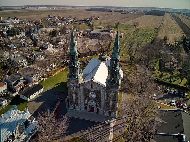
Français : Cloche Marguerite-Michel, 636, chemin des Patriotes, Saint-Denis-sur-Richelieu (Canada). (Protection MH reconnu
MH reconnu IP classé. Voir la liste des lieux patrimoniaux de la Montérégie pour plus de détails). |
This photo is of a cultural heritage site in Canada, number 13483
|
|
| Date | |
| Source | Own work |
| Author | Weblapd |
| Camera location | | View this and other nearby images on: OpenStreetMap |
|---|
Picture took with a drone DJHI Mavic Air.Photo prise avec mon drone DJI Mavic air
Licensing
[edit]
I, the copyright holder of this work, hereby publish it under the following license:
This file is licensed under the Creative Commons Attribution-Share Alike 4.0 International license.
- You are free:
- to share – to copy, distribute and transmit the work
- to remix – to adapt the work
- Under the following conditions:
- attribution – You must give appropriate credit, provide a link to the license, and indicate if changes were made. You may do so in any reasonable manner, but not in any way that suggests the licensor endorses you or your use.
- share alike – If you remix, transform, or build upon the material, you must distribute your contributions under the same or compatible license as the original.
File history
Click on a date/time to view the file as it appeared at that time.
| Date/Time | Thumbnail | Dimensions | User | Comment | |
|---|---|---|---|---|---|
| current | 13:39, 21 March 2021 | | 4,048 × 3,032 (14.98 MB) | Weblapd (talk | contribs) | Uploaded own work with UploadWizard |
You cannot overwrite this file.
File usage on Commons
There are no pages that use this file.
File usage on other wikis
The following other wikis use this file:
- Usage on fr.wikipedia.org