File:Dłutów (gmina) location map.png

Original file (2,260 × 1,725 pixels, file size: 534 KB, MIME type: image/png)
Captions
Captions
Summary
[edit]_location_map.png&action=edit§ion=1)
| Description |
English: Location map |
| Date | |
| Source | Own work |
| Author | Smat |
| Description |
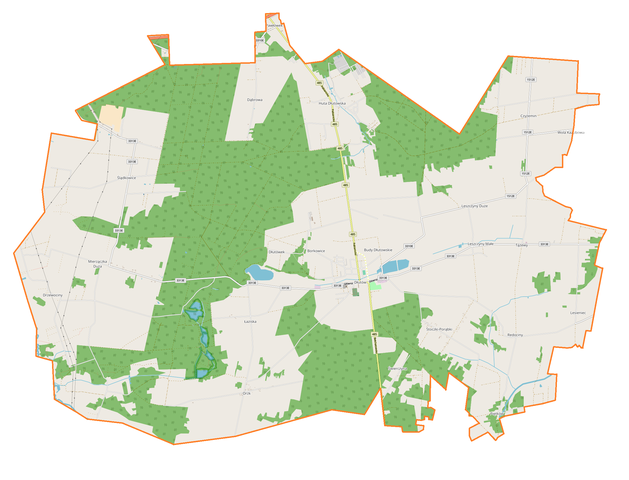
Polski: Mapa gminy Dłutów, Polska
English: Map of Dłutów (gmina), Poland |
|||||||||
| Date | ||||||||||
| Source | You may find a page on the OpenStreetMap wiki page for Dłutów (gmina) | |||||||||
| Creator |
OpenStreetMap contributors OpenStreetMap contributors |
|||||||||
| Permission (Reusing this file) |
OpenStreetMap data is available under the Open Database License (details). Map tiles are licensed under the Creative Commons Attribution-ShareAlike 2.0 license (CC-BY-SA 2.0).
This file is licensed under the Creative Commons Attribution-Share Alike 2.0 Generic license.
|
|||||||||
| Geotemporal data | ||||||||||
| Bounding box |
|
|||||||||
| Georeferencing | If inappropriate please set warp_status = skip to hide. | |||||||||
Licensing
[edit]_location_map.png&action=edit§ion=2)
| This work contains information from OpenStreetMap, which is made available under the Open Database License (ODbL).
The ODbL does not require any particular license for maps produced from ODbL data. Prior to 1 August 2020, map tiles produced by the OpenStreetMap Foundation were licensed under the CC-BY-SA-2.0 license. Maps produced by other people may be subject to other licences. |
File history
Click on a date/time to view the file as it appeared at that time.
| Date/Time | Thumbnail | Dimensions | User | Comment | |
|---|---|---|---|---|---|
| current | 13:41, 19 November 2017 | | 2,260 × 1,725 (534 KB) | Smat (talk | contribs) | User created page with UploadWizard |
You cannot overwrite this file.
File usage on Commons
There are no pages that use this file.
File usage on other wikis
The following other wikis use this file:
- Usage on pl.wikipedia.org
- Dłutów
- Budy Dłutowskie
- Czyżemin
- Drzewociny
- Dłutówek
- Huta Dłutowska
- Leszczyny Duże
- Leszczyny Małe
- Mierzączka Duża
- Orzk
- Piętków
- Redociny
- Stoczki-Porąbki
- Ślądkowice
- Tążewy
- Lesieniec (województwo łódzkie)
- Łaziska (województwo łódzkie)
- Pawłówek (województwo łódzkie)
- Dąbrowa (powiat pabianicki)
- Świerczyna (powiat pabianicki)
- Kociołki-Las
- Borkowice (województwo łódzkie)
- Parafia Najświętszego Serca Pana Jezusa i Trzech Króli w Dłutowie
- Parafia Świętego Józefa Oblubieńca Najświętszej Maryi Panny i Narodzenia Najświętszej Maryi Panny w Dąbrowie-Pawlikowicach
- Jastrzębieniec
- Dłutów (osada)
- Moduł:Mapa/dane/Dłutów (gmina)
- Władysławów (Tążewy)
- Mierzączka Mała
- Dłutów Poduchowny
- Usage on pl.wikibooks.org
_location_map.png&oldid=607600171)