File:Czechia regions map (cs).png
Jump to navigation
Jump to search
Size of this preview: 800 × 454 pixels. Other resolutions: 320 × 182 pixels | 640 × 363 pixels | 1,024 × 581 pixels | 1,280 × 726 pixels | 1,842 × 1,045 pixels.
Original file (1,842 × 1,045 pixels, file size: 745 KB, MIME type: image/png)
Captions
Captions
Add a one-line explanation of what this file represents
Summary
[edit].png&action=edit§ion=1)
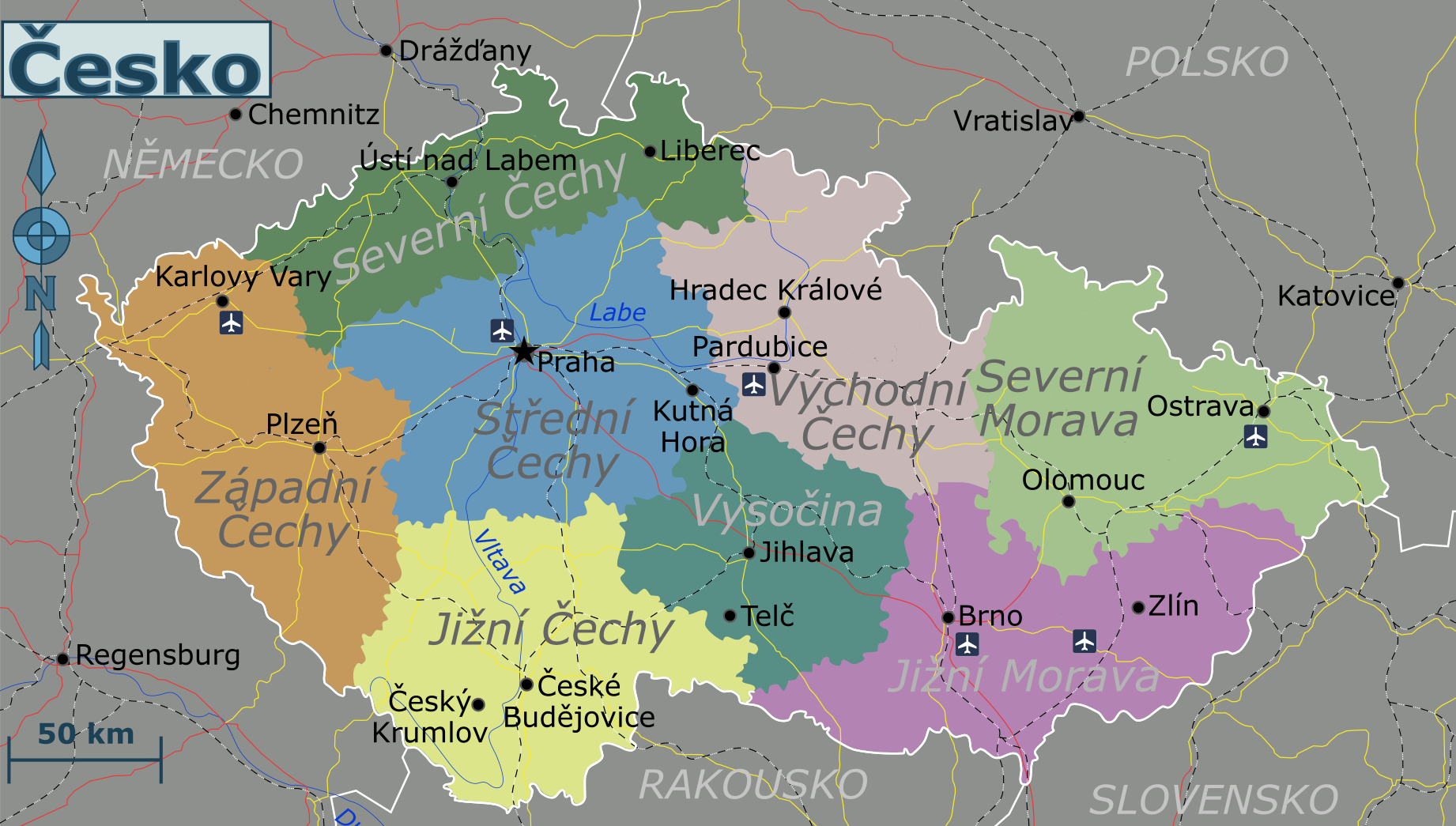
| Description | Map of the Czechia, Czech version |
| Date | |
| Source | Own work based on CZ-cleneni.svg (data origin: Tlusťa (public domain), edited by Miraceti (smoothing, colours, export to svg) and Al (corrected region description for C region)), Czech parliament elections 2006 - region_winners.svg by Frettie, and the Perry Castañeda Map Collection - University of Texas Library (public domain) |
| Author | Globe-trotter, Czech translation: Honza Záruba |
Licensing
[edit].png&action=edit§ion=2)
This file is licensed under the Creative Commons Attribution-Share Alike 4.0 International license.
- You are free:
- to share – to copy, distribute and transmit the work
- to remix – to adapt the work
- Under the following conditions:
- attribution – You must give appropriate credit, provide a link to the license, and indicate if changes were made. You may do so in any reasonable manner, but not in any way that suggests the licensor endorses you or your use.
- share alike – If you remix, transform, or build upon the material, you must distribute your contributions under the same or compatible license as the original.
File history
Click on a date/time to view the file as it appeared at that time.
| Date/Time | Thumbnail | Dimensions | User | Comment | |
|---|---|---|---|---|---|
| current | 21:44, 12 January 2022 | | 1,842 × 1,045 (745 KB) | Honza Záruba (talk | contribs) | {{Information |Description=Map of the Czechia, Czech version |Source={{own}} based on CZ-cleneni.svg (data origin: Tlusťa (public domain), edited by Miraceti (smoothing, colours, export to svg) and Al (corrected region description for C region)), Czech parliament elections 2006 - region_winners.svg by Frettie, a... |
You cannot overwrite this file.
File usage on Commons
The following 2 pages use this file:
File usage on other wikis
The following other wikis use this file:
- Usage on incubator.wikimedia.org
.png&oldid=872533286)