File:Curonian Spit NP 05-2017 img07 view from Muellers Height.jpg
Original file (4,789 × 3,192 pixels, file size: 8.17 MB, MIME type: image/jpeg)
Captions
DescriptionCuronian Spit NP 05-2017 img07 view from Muellers Height.jpg |
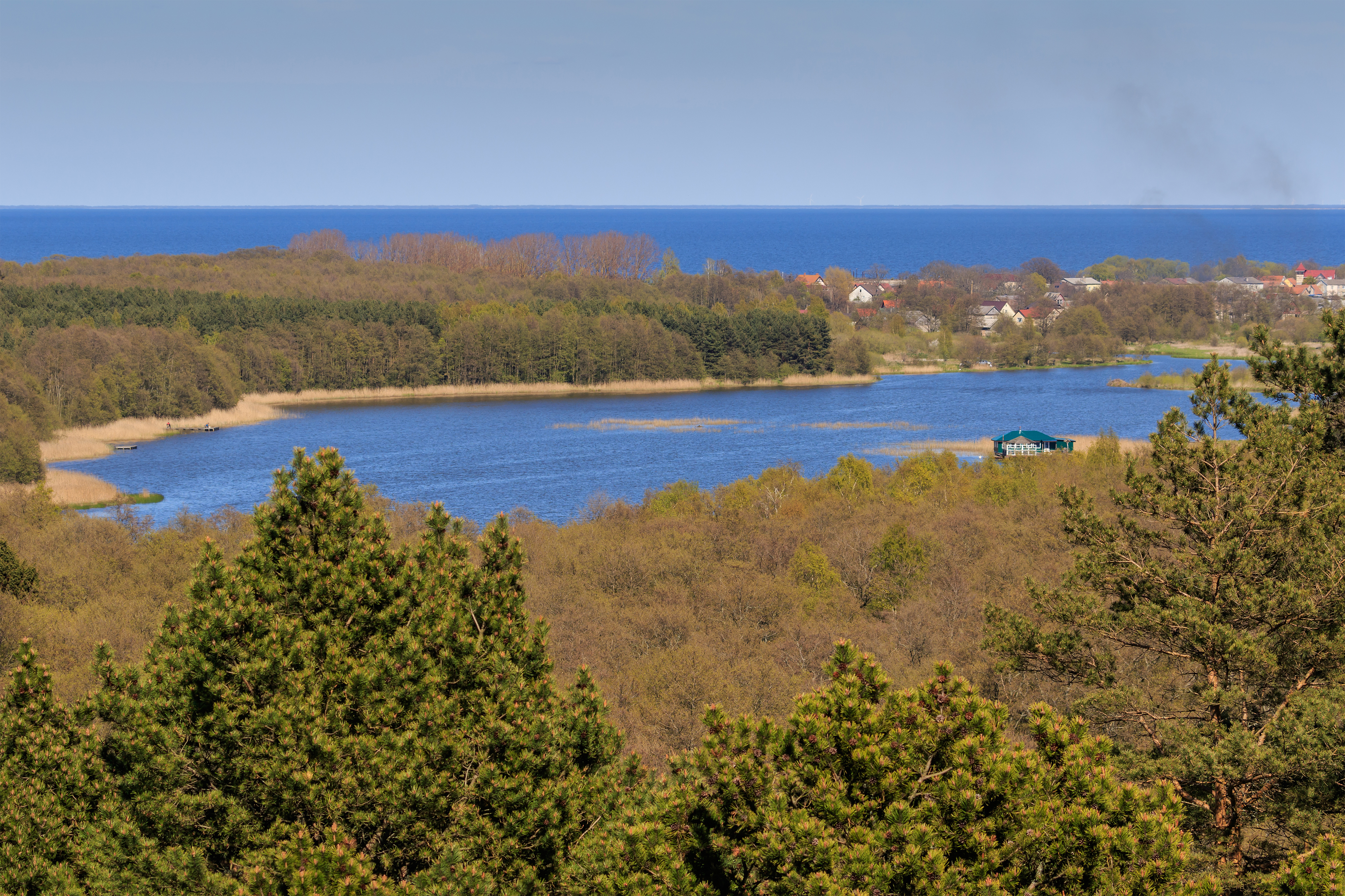
English: Curonian Spit in Kaliningrad Oblast (Russia). View from the viewpoint on Müller's Height. View of Lake Chaika and Rybachiy settlement.
Deutsch: Kurische Nehrung im Kaliningrader Gebiet (Russland). Blick vom Aussichtsstand auf der Müller-Höhe. Aussicht auf Tschaika-See und Rybatschi/Rossitten.
Русский: Куршская коса в Калининградской области (Россия). Вид со смотровой вышки на высоте Мюллера. Вид на озеро Чайка и посёлок Рыбачий.
|
|||
Date | ||||
Source | Own work | |||
Author | A.Savin | |||
Permission (Reusing this file) |
Free Art License. Free usage of the photo; usually no need to ask for approval. Just attribute the author: «A.Savin, Wikipedia»; if you have questions — Telegram , or e-mail to wikiphotospace@gmail.com .Лицензия Свободное искусство. Использование фотографии бесплатно; согласование обычно не требуется. Просто укажите в качестве автора: «А.Савин, Википедия»; если есть вопрос — телеграм , или эл.почта на wikiphotospace@gmail.com .Lizenz Freie Kunst. Nutzung des Fotos kostenlos; Anfrage in der Regel nicht erforderlich. Kennzeichnen Sie einfach als Autor: «A.Savin, Wikipedia»; falls Sie Fragen haben — Telegram , oder E-Mail an wikiphotospace@gmail.com .
Thank you. |
Camera location | 55° 08′ 54.5″ N, 20° 48′ 42.7″ E | View this and other nearby images on: OpenStreetMap | 55.148472; 20.811861 |
---|
This image was uploaded as part of Wiki Loves Earth 2017.
aragonés | العربية | asturianu | azərbaycanca | беларуская (тарашкевіца) | български | বাংলা | brezhoneg | català | čeština | Cymraeg | Deutsch | Ελληνικά | English | español | eesti | euskara | فارسی | français | galego | עברית | hrvatski | հայերեն | Bahasa Indonesia | italiano | 日本語 | ქართული | 한국어 | latviešu | македонски | മലയാളം | मराठी | Bahasa Melayu | norsk bokmål | नेपाली | Nederlands | norsk | polski | português | português do Brasil | русский | sicilianu | shqip | slovenščina | српски / srpski | svenska | ไทย | Türkçe | українська | اردو | 中文 | 中文(台灣) | +/− |
Licensing
[edit]Copyleft: This work of art is free; you can redistribute it and/or modify it according to terms of the Free Art License. You will find a specimen of this license on the Copyleft Attitude site as well as on other sites. http://artlibre.org/licence/lal/enFALFree Art Licensefalsetrue |
File history
Click on a date/time to view the file as it appeared at that time.
Date/Time | Thumbnail | Dimensions | User | Comment | |
---|---|---|---|---|---|
current | 17:39, 22 May 2017 | 4,789 × 3,192 (8.17 MB) | A.Savin (talk | contribs) | {{User:A.Savin/F |Description= {{en|Curonian Spit in Kaliningrad Oblast (Russia). View from the viewpoint on Müller's Height. View of Lake Chaika and Rybachiy settlement.}} {{de|Kurische Nehrung im Kaliningrader Gebiet (Russland). Blick vom Aussichtss... |
You cannot overwrite this file.
File usage on Commons
The following page uses this file:
File usage on other wikis
The following other wikis use this file:
- Usage on es.wikipedia.org
- Usage on www.wikidata.org
Metadata
This file contains additional information such as Exif metadata which may have been added by the digital camera, scanner, or software program used to create or digitize it. If the file has been modified from its original state, some details such as the timestamp may not fully reflect those of the original file. The timestamp is only as accurate as the clock in the camera, and it may be completely wrong.
Camera manufacturer | Canon |
---|---|
Camera model | Canon EOS 7D Mark II |
Author | A.Savin |
Copyright holder |
|
Exposure time | 1/250 sec (0.004) |
F-number | f/9 |
ISO speed rating | 100 |
Date and time of data generation | 15:50, 12 May 2017 |
Lens focal length | 100 mm |
Latitude | 55° 8′ 54.02″ N |
Longitude | 20° 48′ 42.98″ E |
Altitude | 24.8 meters above sea level |
height | 3,192 |
width | 4,789 |
Width | 5,472 px |
Height | 3,648 px |
Bits per component |
|
Pixel composition | RGB |
Orientation | Normal |
Number of components | 3 |
Horizontal resolution | 300 dpi |
Vertical resolution | 300 dpi |
Software used | Adobe Photoshop CC (Windows) |
File change date and time | 00:51, 20 May 2017 |
Exposure Program | Manual |
Exif version | 2.3 |
Date and time of digitizing | 15:50, 12 May 2017 |
APEX shutter speed | 7.965784 |
APEX aperture | 6.33985 |
APEX exposure bias | 0 |
Maximum land aperture | 4.375 APEX (f/4.56) |
Metering mode | Pattern |
Flash | Flash did not fire, compulsory flash suppression |
Color space | sRGB |
Focal plane X resolution | 2,439.5010070801 |
Focal plane Y resolution | 2,439.5010070801 |
Focal plane resolution unit | 3 |
Custom image processing | Normal process |
Exposure mode | Manual exposure |
White balance | Auto white balance |
Scene capture type | Standard |
GPS time (atomic clock) | 13:47:42.628 |
Satellites used for measurement | 18 |
Receiver status | Measurement in progress |
Measurement mode | 3-dimensional measurement |
Measurement precision | Fair (1.9) |
Reference for direction of image | Magnetic direction |
Geodetic survey data used | WGS-84 |
GPS date | 12 May 2017 |
GPS tag version | 0.0.3.2 |
Serial number of camera | 033021000431 |
Lens used | EF100-400mm f/4.5-5.6L IS II USM |
Date metadata was last modified | 03:51, 20 May 2017 |
Unique ID of original document | 657F940E6896E96663997FED9FA53024 |
IIM version | 4 |
Structured data
Elementos representados en este archivo
depicts
Algún valor sin elemento de Wikidata
55°8'54.499"N, 20°48'42.700"E
image/jpeg
ac68e261614784f4624864baa1c21fafc33e31e8
8,563,412 byte
3,192 pixel
4,789 pixel
- Protected areas of Russia/3900040
- Protected areas of Russia with known IDs
- Photographs by A.Savin taken in 2017
- Photographs by A.Savin/Russia
- Files with coordinates missing SDC location of creation
- Images from Wiki Loves Earth 2017
- Images from Wiki Loves Earth 2017 in Russia
- Images from Wiki Loves Earth missing SDC depicts
- Images from Wiki Loves Earth missing SDC location of creation
- Images from Wiki Loves Earth missing SDC inception
- FAL
- Taken with Canon EOS 7D Mark II
- Taken with Canon EF 100-400mm F4.5-5.6L IS II USM
- Russia photographs taken on 2017-05-12