File:Cruising ship at Britsh Virgin Island - panoramio.jpg
Jump to navigation
Jump to search
Size of this preview: 800 × 451 pixels. Other resolutions: 320 × 180 pixels | 640 × 361 pixels | 1,024 × 577 pixels | 1,280 × 721 pixels | 2,560 × 1,443 pixels | 3,648 × 2,056 pixels.
Original file (3,648 × 2,056 pixels, file size: 3.92 MB, MIME type: image/jpeg)
Captions
Captions
Add a one-line explanation of what this file represents
Summary
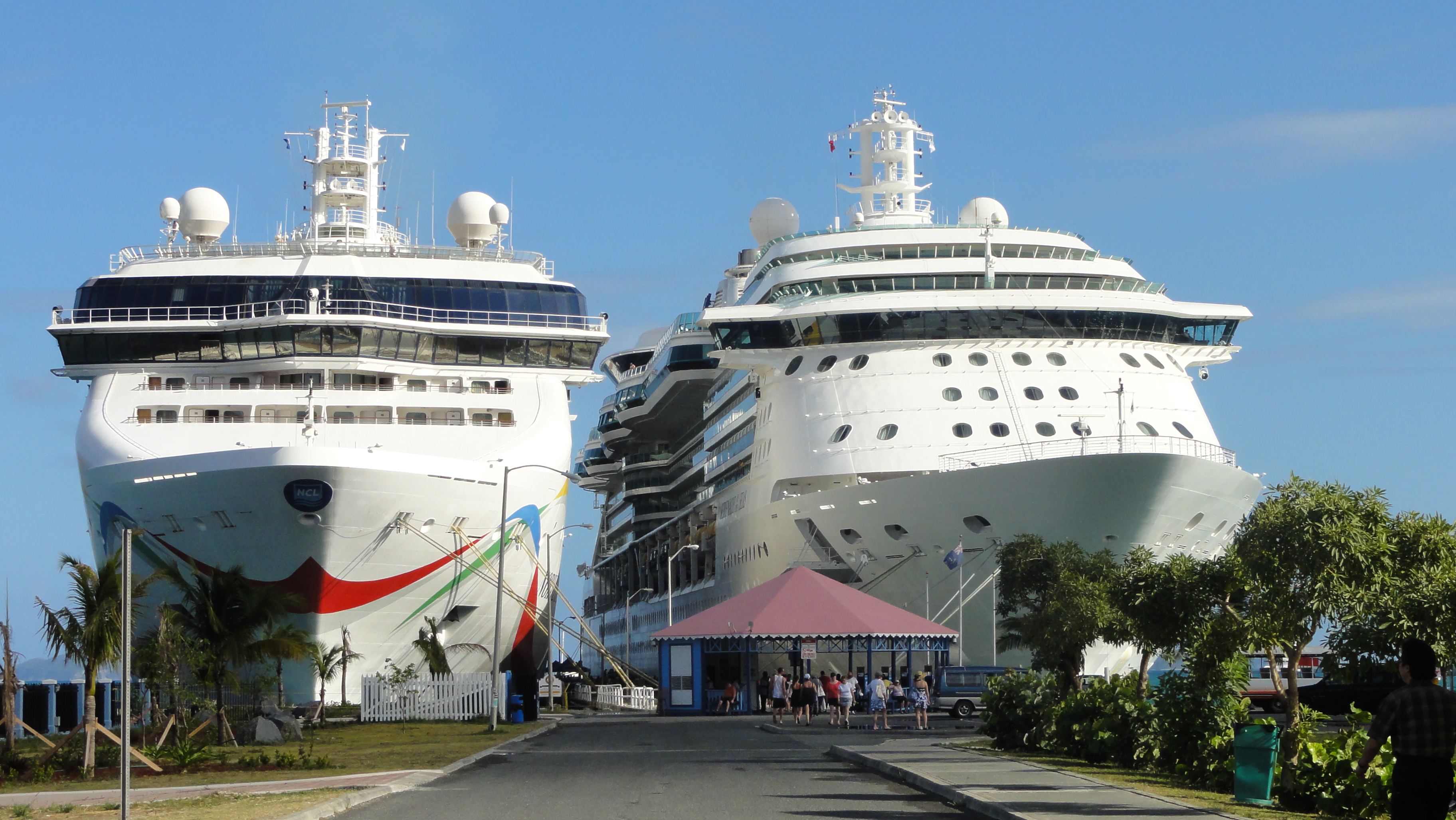
[edit]| Description | Cruising ship at Britsh Virgin Island | ||
| Date | Taken on 14 February 2011 | ||
| Source | https://web.archive.org/web/20161021154858/http://www.panoramio.com/photo/63269180 | ||
| Author | A J Niccel | ||
| Permission (Reusing this file) |
This file is licensed under the Creative Commons Attribution-Share Alike 3.0 Unported license. Attribution: A J Niccel
|
||
| Tags (from Panoramio photo page) | Road Town |
| Camera location | | View this and other nearby images on: OpenStreetMap |
|---|

File history
Click on a date/time to view the file as it appeared at that time.
| Date/Time | Thumbnail | Dimensions | User | Comment | |
|---|---|---|---|---|---|
| current | 14:48, 19 December 2016 | | 3,648 × 2,056 (3.92 MB) | Panoramio upload bot (talk | contribs) | == {{int:filedesc}} == {{Information |description=Cruising ship at Britsh Virgin Island |date={{Taken on|2011-02-14}} |source=http://www.panoramio.com/photo/63269180 |author=[http://www.panoramio.com/user/2127917?with_photo_id=63269180 A J Niccel] |per... |
You cannot overwrite this file.
File usage on Commons
There are no pages that use this file.