File:Croydon 2018 Ward Map.svg
Jump to navigation
Jump to search

Size of this PNG preview of this SVG file: 450 × 600 pixels. Other resolutions: 180 × 240 pixels | 360 × 480 pixels | 576 × 768 pixels | 768 × 1,024 pixels | 1,537 × 2,048 pixels | 950 × 1,266 pixels.
Original file (SVG file, nominally 950 × 1,266 pixels, file size: 531 KB)
Captions
Captions
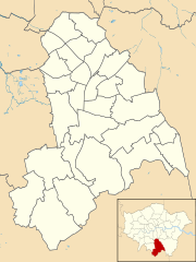
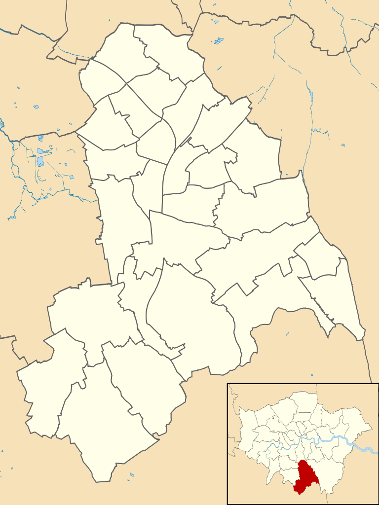
Map of Croydon, showing wards following the 2017 Boundary Review
Summary
[edit]
| Description |
English: Blank map of the London Borough of Croydon, showing electoral wards.
Equirectangular map projection on WGS 84 datum, with N/S stretched 160% Geographic limits: West: 0.17W East: 0.01E North: 51.43N South: 51.28N |
| Date | |
| Source |
This file was derived from: Croydon London UK blank ward map.svg: |
| Author |
|
Licensing
[edit]
This file is licensed under the Creative Commons Attribution-Share Alike 4.0 International license.
- You are free:
- to share – to copy, distribute and transmit the work
- to remix – to adapt the work
- Under the following conditions:
- attribution – You must give appropriate credit, provide a link to the license, and indicate if changes were made. You may do so in any reasonable manner, but not in any way that suggests the licensor endorses you or your use.
- share alike – If you remix, transform, or build upon the material, you must distribute your contributions under the same or compatible license as the original.
File history
Click on a date/time to view the file as it appeared at that time.
| Date/Time | Thumbnail | Dimensions | User | Comment | |
|---|---|---|---|---|---|
| current | 11:24, 4 September 2020 | | 950 × 1,266 (531 KB) | Trimfrim20 (talk | contribs) | Uploaded a work by Croydon London UK blank ward map.svg: Nilfanion, created using Ordnance Survey data derivative work: Trimfrim20 from This file was derived from https://commons.m.wikimedia.org/wiki/File:Croydon_London_UK_blank_ward_map.svg with UploadWizard |
You cannot overwrite this file.
File usage on Commons
The following 30 pages use this file:
- File:Croydon Addiscombe East Ward.svg
- File:Croydon Addiscombe West Ward.svg
- File:Croydon Bensham Manor Ward.svg
- File:Croydon Broad Green Ward.svg
- File:Croydon Coulsdon Town Ward.svg
- File:Croydon Crystal Palace & Upper Norwood Ward.svg
- File:Croydon Fairfield Ward.svg
- File:Croydon Kenley Ward.svg
- File:Croydon London UK local election 2018 map.svg
- File:Croydon New Addington North Ward.svg
- File:Croydon New Addington South Ward.svg
- File:Croydon Norbury & Pollards Hill Ward.svg
- File:Croydon Norbury Park Ward.svg
- File:Croydon Old Coulsdon Ward.svg
- File:Croydon Park Hill & Whitgift Ward.svg
- File:Croydon Purley & Woodcote Ward.svg
- File:Croydon Purley Oaks & Riddlesdown Ward.svg
- File:Croydon Sanderstead Ward.svg
- File:Croydon Selhurst Ward.svg
- File:Croydon Selsdon & Addington Village Ward.svg
- File:Croydon Selsdon Vale & Forestdale Ward.svg
- File:Croydon Shirley North Ward.svg
- File:Croydon Shirley South Ward.svg
- File:Croydon South Croydon Ward.svg
- File:Croydon South Norwood Ward.svg
- File:Croydon Thornton Heath Ward.svg
- File:Croydon UK local election 2022 map.svg
- File:Croydon Waddon Ward.svg
- File:Croydon West Thornton Ward.svg
- File:Croydon Woodside Ward.svg
File usage on other wikis
The following other wikis use this file:
- Usage on en.wikipedia.org
- Usage on fr.wikipedia.org