File:Crossing Hamilton Harbour, Bermuda - panoramio (8).jpg
Jump to navigation
Jump to search

Size of this preview: 800 × 419 pixels. Other resolutions: 320 × 168 pixels | 640 × 335 pixels | 1,024 × 537 pixels | 1,280 × 671 pixels | 2,560 × 1,341 pixels | 4,288 × 2,247 pixels.
Original file (4,288 × 2,247 pixels, file size: 2.85 MB, MIME type: image/jpeg)
Captions
Captions
Add a one-line explanation of what this file represents
Summary
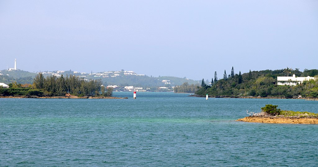
[edit]| Description | Crossing Hamilton Harbour, Bermuda | ||
| Date | Taken on 29 June 2009 | ||
| Source | https://web.archive.org/web/20161027004419/http://www.panoramio.com/photo/84369620 | ||
| Author | David Broad | ||
| Permission (Reusing this file) |
This file is licensed under the Creative Commons Attribution 3.0 Unported license. Attribution: David Broad
|
||
| Tags (from Panoramio photo page) | Pembroke Parish, _High-01K, Bermuda, Hamilton Harbour |
| Camera location | | View this and other nearby images on: OpenStreetMap |
|---|

.jpg&action=edit§ion=1)
.jpg¶ms=032.289572_N_-064.800323_E_globe:Earth_type:camera_source:Panoramio_&language=en)
.jpg&action=edit&withJS=MediaWiki:Catcheck.js)
File history
Click on a date/time to view the file as it appeared at that time.
| Date/Time | Thumbnail | Dimensions | User | Comment | |
|---|---|---|---|---|---|
| current | 02:20, 11 February 2017 | | 4,288 × 2,247 (2.85 MB) | Panoramio upload bot (talk | contribs) | == {{int:filedesc}} == {{Information |description=Crossing Hamilton Harbour, Bermuda |date={{Taken on|2009-06-29}} |source=http://www.panoramio.com/photo/84369620 |author=[http://www.panoramio.com/user/2134453?with_photo_id=84369620 David Broad] |permi... |
You cannot overwrite this file.
File usage on Commons
There are no pages that use this file.
File usage on other wikis
The following other wikis use this file:
- Usage on ceb.wikipedia.org
- Usage on www.wikidata.org
.jpg&oldid=871386884)