File:Croix de cimetière Berthenonville.jpg
From Wikimedia Commons, the free media repository
Jump to navigation
Jump to search
Size of this preview: 399 × 599 pixels. Other resolutions: 160 × 240 pixels | 319 × 480 pixels | 511 × 768 pixels | 681 × 1,024 pixels | 1,363 × 2,048 pixels | 3,172 × 4,765 pixels.
Original file (3,172 × 4,765 pixels, file size: 3.8 MB, MIME type: image/jpeg)
File information
Structured data
Captions
Summary
[edit]DescriptionCroix de cimetière Berthenonville.jpg |
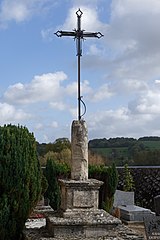
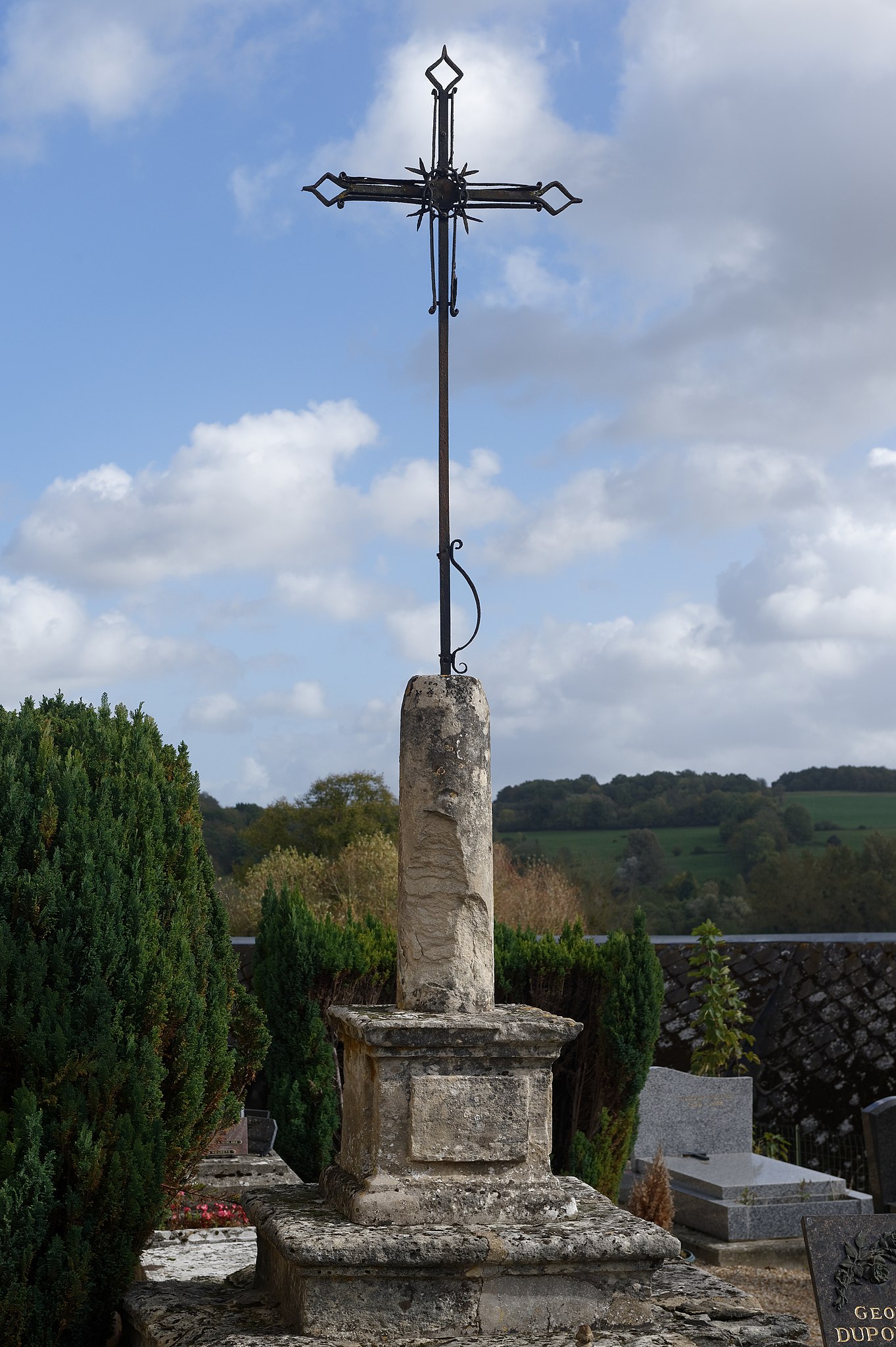
Français : Croix du cimetière de Berthenonville, dans l'Eure, région Normandie. |
Date | |
Source | Own work |
Author | Marie-Lan Nguyen |
Camera location | 49° 10′ 59.66″ N, 1° 39′ 33.86″ E | View this and other nearby images on: OpenStreetMap | 49.183238; 1.659406 |
---|
This building is indexed in the base Mérimée, a database of architectural heritage maintained by the French Ministry of Culture, under the reference IA00017113 .
brezhoneg ∙ català ∙ Deutsch ∙ English ∙ español ∙ Esperanto ∙ euskara ∙ français ∙ italiano ∙ magyar ∙ Nederlands ∙ português do Brasil ∙ português ∙ română ∙ sicilianu ∙ slovenščina ∙ suomi ∙ svenska ∙ Ελληνικά ∙ беларуская (тарашкевіца) ∙ македонски ∙ русский ∙ українська ∙ বাংলা ∙ +/− |
Licensing
[edit]I, the copyright holder of this work, hereby publish it under the following license:
This file is licensed under the Creative Commons Attribution 4.0 International license.
- You are free:
- to share – to copy, distribute and transmit the work
- to remix – to adapt the work
- Under the following conditions:
- attribution – You must give appropriate credit, provide a link to the license, and indicate if changes were made. You may do so in any reasonable manner, but not in any way that suggests the licensor endorses you or your use.
File history
Click on a date/time to view the file as it appeared at that time.
Date/Time | Thumbnail | Dimensions | User | Comment | |
---|---|---|---|---|---|
current | 18:37, 7 November 2017 | 3,172 × 4,765 (3.8 MB) | Jastrow (talk | contribs) | User created page with UploadWizard |
You cannot overwrite this file.
File usage on Commons
There are no pages that use this file.
File usage on other wikis
The following other wikis use this file:
- Usage on de.wikipedia.org
Metadata
This file contains additional information such as Exif metadata which may have been added by the digital camera, scanner, or software program used to create or digitize it. If the file has been modified from its original state, some details such as the timestamp may not fully reflect those of the original file. The timestamp is only as accurate as the clock in the camera, and it may be completely wrong.
Camera manufacturer | NIKON CORPORATION |
---|---|
Camera model | NIKON D4S |
Author | Marie-Lan TAY-PAMART |
Exposure time | 1/250 sec (0.004) |
F-number | f/9 |
ISO speed rating | 100 |
Date and time of data generation | 13:23, 21 October 2017 |
Lens focal length | 60 mm |
Latitude | 49° 10′ 59.66″ N |
Longitude | 1° 39′ 33.86″ E |
Altitude | 52.8 meters above sea level |
Orientation | Normal |
Horizontal resolution | 300 dpi |
Vertical resolution | 300 dpi |
Software used | DxO OpticsPro 11.4.3 |
File change date and time | 13:23, 21 October 2017 |
Exposure Program | Manual |
Date and time of digitizing | 13:23, 21 October 2017 |
APEX shutter speed | 7.965784 |
APEX aperture | 6.33985 |
APEX exposure bias | 0 |
Maximum land aperture | 3 APEX (f/2.83) |
Subject distance | 5.01 meters |
Metering mode | Spot |
Light source | Unknown |
Flash | Flash did not fire |
DateTime subseconds | 35 |
DateTimeOriginal subseconds | 35 |
DateTimeDigitized subseconds | 35 |
Color space | sRGB |
Sensing method | One-chip color area sensor |
File source | Digital still camera |
Scene type | A directly photographed image |
Custom image processing | Normal process |
Exposure mode | Manual exposure |
White balance | Auto white balance |
Digital zoom ratio | 1 |
Focal length in 35 mm film | 60 mm |
Scene capture type | Standard |
Scene control | None |
Contrast | Normal |
Saturation | Normal |
Sharpness | Normal |
Subject distance range | Unknown |
Speed unit | Kilometers per hour |
Speed of GPS receiver | 0 |
Geodetic survey data used | WGS-84 |
GPS tag version | 0.0.3.2 |
Rating (out of 5) | 5 |
IIM version | 4 |
Structured data
Items portrayed in this file
depicts
some value
49°10'59.657"N, 1°39'33.862"E
21 October 2017
image/jpeg
c3ba8d2656de13da856ba1fda1085847e1087c85
3,983,354 byte
4,765 pixel
3,172 pixel
Hidden categories:
- Files with coordinates missing SDC location of creation (49° N, 1° E)
- Base Mérimée
- Monuments à l’inventaire
- Mérimée with IA parameter
- Cultural heritage monuments in France with known IDs
- Cultural heritage monuments in France missing SDC depicts
- Cultural heritage monuments in France missing SDC location of creation
- CC-BY-4.0
- Self-published work
- France photographs taken on 2017-10-21