File:Croatia Brijuni BW 2014-10-11 14-52-50.jpg
From Wikimedia Commons, the free media repository
Jump to navigation
Jump to search
Size of this preview: 800 × 533 pixels. Other resolutions: 320 × 213 pixels | 640 × 426 pixels | 1,024 × 682 pixels | 1,280 × 853 pixels | 2,560 × 1,706 pixels | 3,788 × 2,524 pixels.
Original file (3,788 × 2,524 pixels, file size: 5.64 MB, MIME type: image/jpeg)
File information
Structured data
Captions
Summary
[edit]DescriptionCroatia Brijuni BW 2014-10-11 14-52-50.jpg |
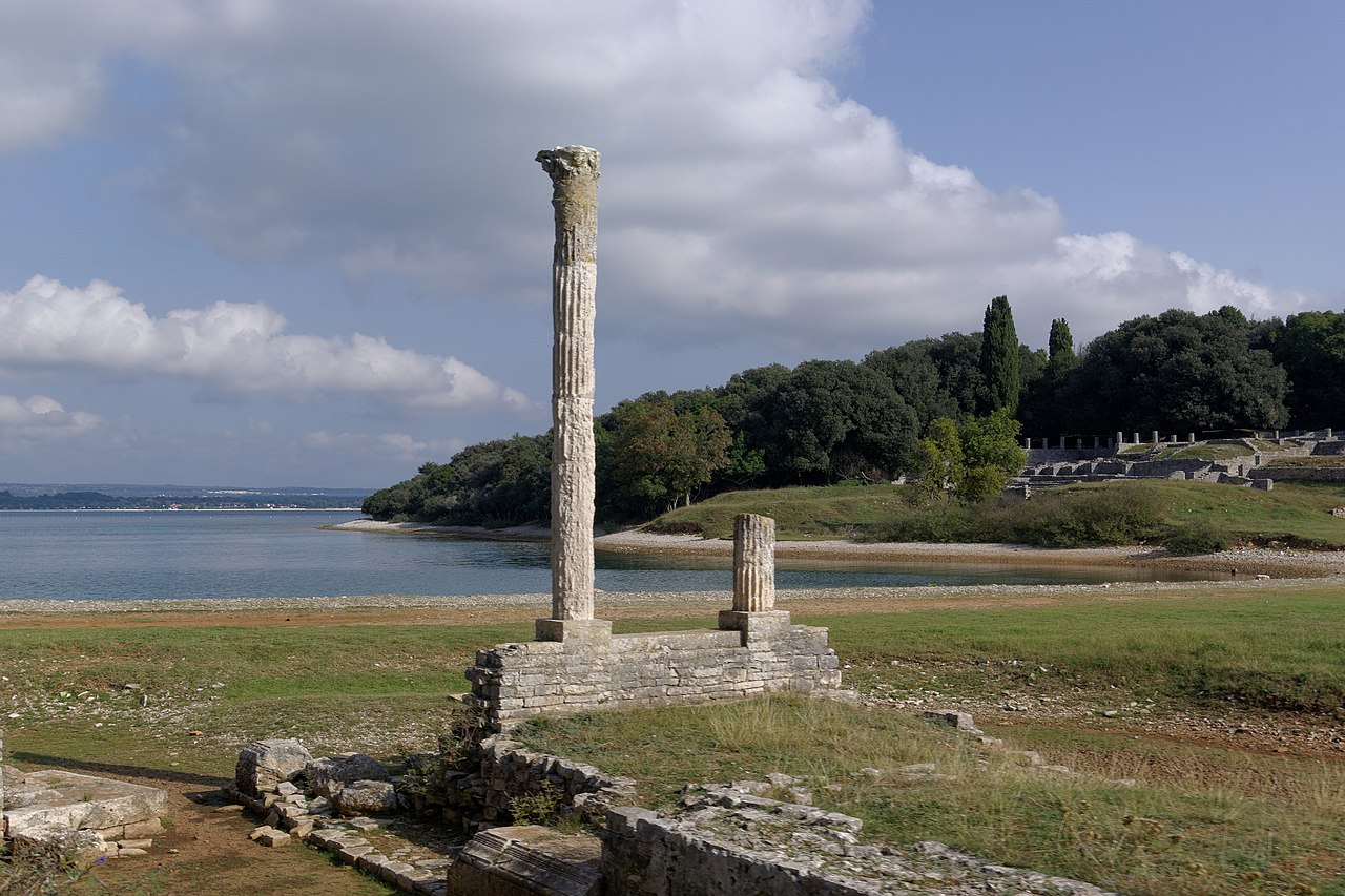
Deutsch: Kroatien, Brijuni, Villa Maritima in der Val Catena-Bucht / Uvala Verige English: Croatia, Brijuni, Roman Villa in the Bay of Verige; |
Date | |
Source | Own work |
Author | Berthold Werner |
Camera location | 44° 54′ 37.52″ N, 13° 46′ 21.8″ E | View this and other nearby images on: OpenStreetMap | 44.910422; 13.772722 |
---|
Licensing
[edit]This file is licensed under the Creative Commons Attribution-Share Alike 3.0 Unported license.
Attribution: Berthold Werner
- You are free:
- to share – to copy, distribute and transmit the work
- to remix – to adapt the work
- Under the following conditions:
- attribution – You must give appropriate credit, provide a link to the license, and indicate if changes were made. You may do so in any reasonable manner, but not in any way that suggests the licensor endorses you or your use.
- share alike – If you remix, transform, or build upon the material, you must distribute your contributions under the same or compatible license as the original.
File history
Click on a date/time to view the file as it appeared at that time.
Date/Time | Thumbnail | Dimensions | User | Comment | |
---|---|---|---|---|---|
current | 17:38, 9 May 2015 | 3,788 × 2,524 (5.64 MB) | Berthold Werner (talk | contribs) | VicuñaUploader 1.20 |
You cannot overwrite this file.
File usage on Commons
The following page uses this file:
File usage on other wikis
The following other wikis use this file:
- Usage on de.wikipedia.org
- Usage on is.wikipedia.org
- Usage on it.wikipedia.org
- Usage on it.wikivoyage.org
- Usage on nl.wikipedia.org
- Usage on sv.wikipedia.org
- Usage on vi.wikipedia.org
Metadata
This file contains additional information such as Exif metadata which may have been added by the digital camera, scanner, or software program used to create or digitize it. If the file has been modified from its original state, some details such as the timestamp may not fully reflect those of the original file. The timestamp is only as accurate as the clock in the camera, and it may be completely wrong.
Camera manufacturer | PENTAX Corporation |
---|---|
Camera model | PENTAX K10D |
Exposure time | 1/180 sec (0.0055555555555556) |
F-number | f/11 |
ISO speed rating | 100 |
Date and time of data generation | 14:52, 11 October 2014 |
Lens focal length | 26 mm |
Latitude | 44° 54′ 37.52″ N |
Longitude | 13° 46′ 21.8″ E |
Altitude | 11 meters above sea level |
City shown | Fažana |
Orientation | Normal |
Horizontal resolution | 96 dpi |
Vertical resolution | 96 dpi |
Software used | DxO Optics Pro 9.5 |
File change date and time | 14:52, 11 October 2014 |
Exposure Program | Aperture priority |
Date and time of digitizing | 14:52, 11 October 2014 |
APEX exposure bias | 0 |
Metering mode | Pattern |
Flash | Flash did not fire, compulsory flash suppression |
Color space | sRGB |
Sensing method | One-chip color area sensor |
Custom image processing | Normal process |
Exposure mode | Auto exposure |
White balance | Auto white balance |
Focal length in 35 mm film | 39 mm |
Scene capture type | Standard |
Contrast | Normal |
Saturation | Normal |
Sharpness | Hard |
Subject distance range | Distant view |
GPS time (atomic clock) | 12:52 |
Speed unit | Kilometers per hour |
Speed of GPS receiver | 10.056757003376 |
Geodetic survey data used | WGS-84 |
GPS date | 11 October 2014 |
GPS tag version | 2.2.0.0 |
Image width | 3,788 px |
Image height | 2,524 px |
Compression scheme | JPEG (old) |
Height | 120 px |
Width | 160 px |
Code for country shown | HRV |
Sublocation of city shown | Brijuni |
Country shown | Kroatien |
Province or state shown | Istarska |
IIM version | 4 |
Structured data
Items portrayed in this file
depicts
11 October 2014
44°54'37.518299881951"N, 13°46'21.798011928426"E
0.00555555555555555555 second
11
26 millimetre
100
image/jpeg
cfa171f528d9e56690a8071800b3262a5f1e4440
5,908,977 byte
2,524 pixel
3,788 pixel
Hidden categories:
- Files with coordinates missing SDC location of creation
- CC-BY-SA-3.0
- Photographs by User:Berthold Werner/Kroatien/Brijuni
- Photographs by User:Berthold Werner/Themen/Burgen Festungen Schlösser Villen
- Photographs by User:Berthold Werner/Themen/Säulen
- Photographs by User:Berthold Werner/Themen/Küsten
- Taken with Pentax K10D
- Uploaded with VicuñaUploader
- Croatia photographs taken on 2014-10-11