File:Crinan Bridge, Crinan Canal - geograph.org.uk - 830165.jpg
Jump to navigation
Jump to search
No higher resolution available.
Crinan_Bridge,_Crinan_Canal_-_geograph.org.uk_-_830165.jpg (640 × 480 pixels, file size: 96 KB, MIME type: image/jpeg)
Captions
Captions
Add a one-line explanation of what this file represents
Summary
[edit]
| Description |
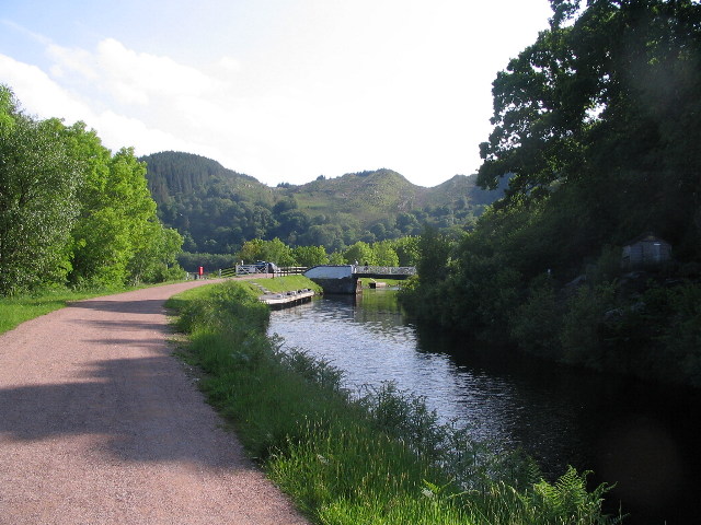
English: Crinan Bridge, Crinan Canal The towpath of the canal is a popular walk and cycle route. The swing bridge marks the end of the B841.
The Crinan Canal runs for 9 miles from Ardrishaig in the east to Crinan in the west, bypassing the long sea passage round the Mull of Kintyre. The Crinan Canal Act was passed in 1793, but financial difficulties required the assistance of a government loan to enable completion in 1809. The canal was never really financially viable and hit problems with land slips. Main users now are pleasure craft and some fishing vessels. |
| Date | |
| Source | From geograph.org.uk |
| Author | E Gammie |
| Attribution (required by the license) | E Gammie / Crinan Bridge, Crinan Canal / |
| Camera location | | View this and other nearby images on: OpenStreetMap |
|---|
_heading:180.00&language=en)
| Object location | | View this and other nearby images on: OpenStreetMap |
|---|
_heading:180.00&language=en)
Licensing
[edit]

|
This image was taken from the Geograph project collection. See this photograph's page on the Geograph website for the photographer's contact details. The copyright on this image is owned by E Gammie and is licensed for reuse under the Creative Commons Attribution-ShareAlike 2.0 license.
|
This file is licensed under the Creative Commons Attribution-Share Alike 2.0 Generic license.
Attribution: E Gammie
- You are free:
- to share – to copy, distribute and transmit the work
- to remix – to adapt the work
- Under the following conditions:
- attribution – You must give appropriate credit, provide a link to the license, and indicate if changes were made. You may do so in any reasonable manner, but not in any way that suggests the licensor endorses you or your use.
- share alike – If you remix, transform, or build upon the material, you must distribute your contributions under the same or compatible license as the original.
File history
Click on a date/time to view the file as it appeared at that time.
| Date/Time | Thumbnail | Dimensions | User | Comment | |
|---|---|---|---|---|---|
| current | 19:01, 20 February 2011 | | 640 × 480 (96 KB) | GeographBot (talk | contribs) | == {{int:filedesc}} == {{Information |description={{en|1=Crinan Bridge, Crinan Canal The towpath of the canal is a popular walk and cycle route. The swing bridge marks the end of the B841. The Crinan Canal runs for 9 miles from Ardrishaig in the east t |
You cannot overwrite this file.
File usage on Commons
There are no pages that use this file.