File:Crimea Autonomous Republic location map.svg
Jump to navigation
Jump to search

Size of this PNG preview of this SVG file: 567 × 377 pixels. Other resolutions: 320 × 213 pixels | 640 × 426 pixels | 1,024 × 681 pixels | 1,280 × 851 pixels | 2,560 × 1,702 pixels.
Original file (SVG file, nominally 567 × 377 pixels, file size: 170 KB)
Captions
Captions
Add a one-line explanation of what this file represents
Summary
[edit]
| Description |
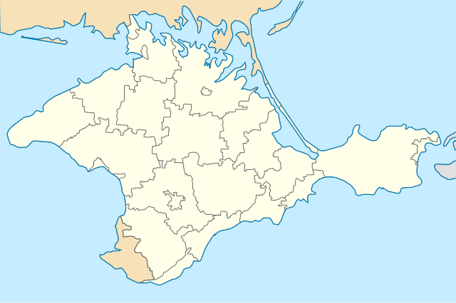
Українська: Позиційна карта Автономної Республіки Крим, Україна Latviešu: Krimas Autonomās Republikas atrašanās vietu karte English: Location map of Autonomous Republic of Crimea |
| Date | |
| Source | Own work |
| Author | Kikos |
This vector image includes elements that have been taken or adapted from this file:
Licensing
[edit]
I, the copyright holder of this work, hereby publish it under the following license:
This file is licensed under the Creative Commons Attribution-Share Alike 3.0 Unported license.
- You are free:
- to share – to copy, distribute and transmit the work
- to remix – to adapt the work
- Under the following conditions:
- attribution – You must give appropriate credit, provide a link to the license, and indicate if changes were made. You may do so in any reasonable manner, but not in any way that suggests the licensor endorses you or your use.
- share alike – If you remix, transform, or build upon the material, you must distribute your contributions under the same or compatible license as the original.
File history
Click on a date/time to view the file as it appeared at that time.
| Date/Time | Thumbnail | Dimensions | User | Comment | |
|---|---|---|---|---|---|
| current | 09:10, 6 April 2022 | | 567 × 377 (170 KB) | Andrew Pertsev (talk | contribs) | Fix svg errors |
| 16:46, 7 March 2022 |  | 532 × 353 (176 KB) | Sarang (talk | contribs) | Reverted to version as of 12:33, 5 May 2014 (UTC) - Chuuuvak versions are FAKE SVG | |
| 10:40, 31 October 2020 |  | 1,280 × 849 (255 KB) | Chuuuvak (talk | contribs) | Південна сторона Арабатської стрілки належить Ленінському (Єдикуйському) району АР Крим. | |
| 10:00, 31 October 2020 |  | 1,280 × 849 (255 KB) | Chuuuvak (talk | contribs) | Арабатська стрілка в Криму належить тільки одному району. | |
| 12:33, 5 May 2014 |  | 532 × 353 (176 KB) | Kikos (talk | contribs) | fixed administrative boundaries | |
| 10:40, 5 May 2014 |  | 532 × 353 (247 KB) | Kikos (talk | contribs) | User created page with UploadWizard |
You cannot overwrite this file.
File usage on Commons
There are no pages that use this file.
File usage on other wikis
The following other wikis use this file:
- Usage on lv.wikipedia.org