File:Covered Bridge in Confluence.jpg
Jump to navigation
Jump to search
Size of this preview: 762 × 600 pixels. Other resolutions: 305 × 240 pixels | 610 × 480 pixels | 976 × 768 pixels | 1,024 × 806 pixels.
Original file (1,024 × 806 pixels, file size: 500 KB, MIME type: image/jpeg)
Captions
Captions
Add a one-line explanation of what this file represents
|
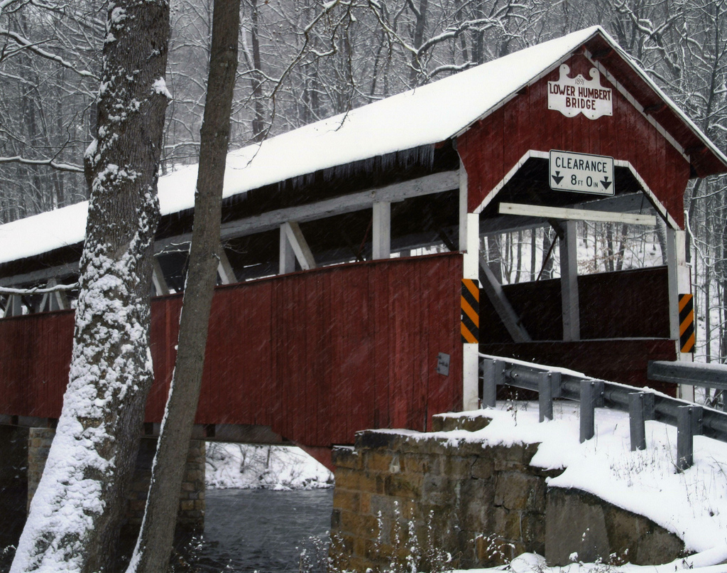
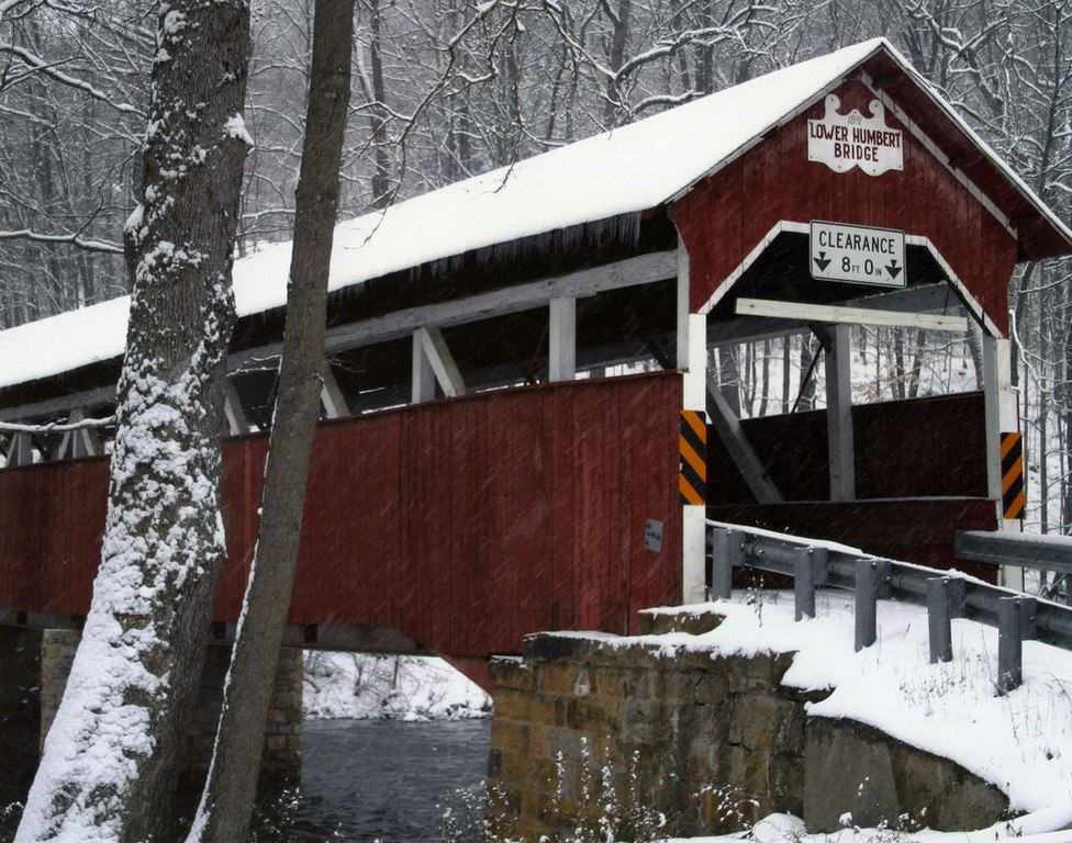
This is an image of a place or building that is listed on the National Register of Historic Places in the United States of America. Its reference number is 80003638. |
| Description | Lower Humbert Bridge | ||
| Date | |||
| Source | originally posted to Flickr as Laurel Highlands - Covered Bridge in Confluence | ||
| Author | Pennsylvania's Laurel Highlands | ||
| Permission (Reusing this file) |
This file is licensed under the Creative Commons Attribution 2.0 Generic license.
|
| Object location | | View this and other nearby images on: OpenStreetMap |
|---|
File history
Click on a date/time to view the file as it appeared at that time.
| Date/Time | Thumbnail | Dimensions | User | Comment | |
|---|---|---|---|---|---|
| current | 02:12, 16 April 2009 | | 1,024 × 806 (500 KB) | Flickr upload bot (talk | contribs) | Uploaded from http://flickr.com/photo/34764281@N02/3234191662 using Flickr upload bot |
You cannot overwrite this file.
File usage on Commons
The following 2 pages use this file:
File usage on other wikis
The following other wikis use this file:
- Usage on cy.wikipedia.org
- Usage on en.wikipedia.org
- Usage on es.wikipedia.org
- Usage on tl.wikipedia.org
- Usage on uk.wikipedia.org
- Usage on vi.wikipedia.org
- Usage on www.wikidata.org