File:County Dublin map.png
Jump to navigation
Jump to search
Size of this preview: 489 × 600 pixels. Other resolutions: 196 × 240 pixels | 391 × 480 pixels | 626 × 768 pixels | 835 × 1,024 pixels | 2,000 × 2,452 pixels.
Original file (2,000 × 2,452 pixels, file size: 2.92 MB, MIME type: image/png)
Captions
Captions
Add a one-line explanation of what this file represents
Summary
[edit]
| Description |
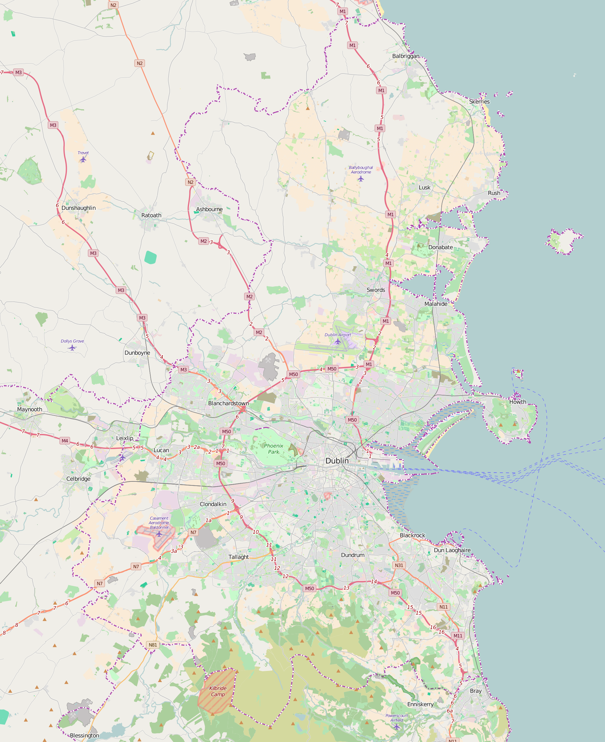
English: A map of w:County Dublin, w:Republic of Ireland. Exported from OpenStreetMap on 6 December 2015
Minimum latitude: 53.16818002113253 Maximum longitude: -5.9710693359375 |
| Date | |
| Source | https://www.openstreetmap.org/relation/282800#map=11/53.3850/-6.2746 |
| Author | OpenStreetMap Contributors |
| Other versions |
 |
| Camera location | | View this and other nearby images on: OpenStreetMap |
|---|
Licensing
[edit]
| This work contains information from OpenStreetMap, which is made available under the Open Database License (ODbL).
The ODbL does not require any particular license for maps produced from ODbL data. Prior to 1 August 2020, map tiles produced by the OpenStreetMap Foundation were licensed under the CC-BY-SA-2.0 license. Maps produced by other people may be subject to other licences. |
File history
Click on a date/time to view the file as it appeared at that time.
| Date/Time | Thumbnail | Dimensions | User | Comment | |
|---|---|---|---|---|---|
| current | 02:47, 6 December 2015 | | 2,000 × 2,452 (2.92 MB) | BurritoBazooka (talk | contribs) | {{Information |description={{en|1=A map of w:County Dublin, w:Republic of Ireland. Exported from OpenStreetMap on 6 December 2015 Minimum latitude: 53.16818002113253<br /> Minimum longitude: -6.6240692138671875<br /> Maximum latitude: 53.64545... |
You cannot overwrite this file.
File usage on Commons
The following page uses this file: