File:Country track to the south east of Tythegston - geograph.org.uk - 1391322.jpg
Jump to navigation
Jump to search
No higher resolution available.
Country_track_to_the_south_east_of_Tythegston_-_geograph.org.uk_-_1391322.jpg (640 × 427 pixels, file size: 100 KB, MIME type: image/jpeg)
Captions
Captions
Add a one-line explanation of what this file represents
Summary
[edit]
| Description |
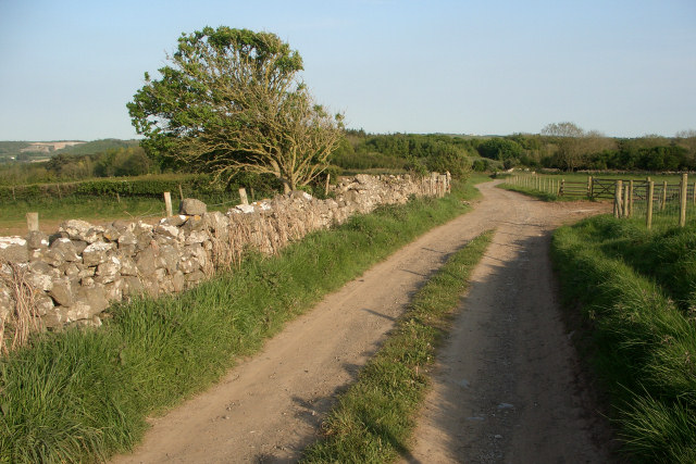
English: Country track to the south east of Tythegston This relatively high track is followed by a public footpath and forms a stretch of a publicised walk in the area. Fine views of the surrounding countryside are to be had from it.
The trees in the distance at the end of the stretch of track lie at the northern edge of Merthyr Mawr Warren. |
| Date | |
| Source | From geograph.org.uk |
| Author | eswales |
| Attribution (required by the license) | eswales / Country track to the south east of Tythegston / |
| Camera location | | View this and other nearby images on: OpenStreetMap |
|---|
_heading:157.00&language=en)
| Object location | | View this and other nearby images on: OpenStreetMap |
|---|
_heading:157.00&language=en)
Licensing
[edit]

|
This image was taken from the Geograph project collection. See this photograph's page on the Geograph website for the photographer's contact details. The copyright on this image is owned by eswales and is licensed for reuse under the Creative Commons Attribution-ShareAlike 2.0 license.
|
This file is licensed under the Creative Commons Attribution-Share Alike 2.0 Generic license.
Attribution: eswales
- You are free:
- to share – to copy, distribute and transmit the work
- to remix – to adapt the work
- Under the following conditions:
- attribution – You must give appropriate credit, provide a link to the license, and indicate if changes were made. You may do so in any reasonable manner, but not in any way that suggests the licensor endorses you or your use.
- share alike – If you remix, transform, or build upon the material, you must distribute your contributions under the same or compatible license as the original.
File history
Click on a date/time to view the file as it appeared at that time.
| Date/Time | Thumbnail | Dimensions | User | Comment | |
|---|---|---|---|---|---|
| current | 21:39, 28 February 2011 | | 640 × 427 (100 KB) | GeographBot (talk | contribs) | == {{int:filedesc}} == {{Information |description={{en|1=Country track to the south east of Tythegston This relatively high track is followed by a public footpath and forms a stretch of a publicised walk in the area. Fine views of the surrounding countrys |
You cannot overwrite this file.
File usage on Commons
There are no pages that use this file.