File:Cooled Lava Flow - 2013.08 - panoramio.jpg
Jump to navigation
Jump to search

Size of this preview: 800 × 376 pixels. Other resolutions: 320 × 150 pixels | 640 × 300 pixels | 1,024 × 481 pixels | 1,280 × 601 pixels | 2,560 × 1,202 pixels | 5,496 × 2,580 pixels.
Original file (5,496 × 2,580 pixels, file size: 3.32 MB, MIME type: image/jpeg)
Captions
Captions
Add a one-line explanation of what this file represents
Summary
[edit]
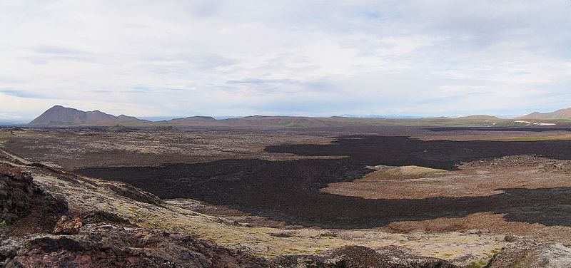
| Description | Cooled Lava Flow - 2013.08 | ||
| Date | Taken on 8 August 2013 | ||
| Source | https://web.archive.org/web/20161101050924/http://www.panoramio.com/photo/118248466 | ||
| Author | rheins | ||
| Permission (Reusing this file) |
This file is licensed under the Creative Commons Attribution 3.0 Unported license. Attribution: rheins
|
||
| Panoramio Tags | Northeastern Region, 冰岛 - Iceland |
| Camera location | | View this and other nearby images on: OpenStreetMap |
|---|
File history
Click on a date/time to view the file as it appeared at that time.
| Date/Time | Thumbnail | Dimensions | User | Comment | |
|---|---|---|---|---|---|
| current | 10:28, 1 June 2017 | | 5,496 × 2,580 (3.32 MB) | Panoramio upload bot (talk | contribs) | == {{int:filedesc}} == {{Information |description=Cooled Lava Flow - 2013.08 |date={{Taken on|2013-08-08}} |source=http://www.panoramio.com/photo/118248466 |author=[http://www.panoramio.com/user/5226993?with_photo_id=118248466 rheins] |permission={{cc-... |
You cannot overwrite this file.
File usage on Commons
There are no pages that use this file.