File:Coolah Tops National Park banner.jpg
Jump to navigation
Jump to search
Size of this preview: 799 × 114 pixels. Other resolutions: 320 × 46 pixels | 640 × 91 pixels | 4,607 × 658 pixels.
Original file (4,607 × 658 pixels, file size: 638 KB, MIME type: image/jpeg)
Captions
Captions
Add a one-line explanation of what this file represents
Summary
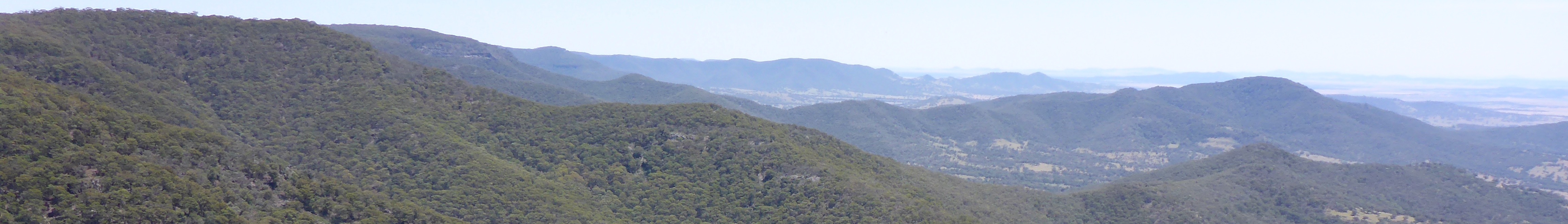
[edit]| Description | Looking along the length of the Park |
| Date | Taken on 6 December 2015 |
| Source | https://web.archive.org/web/20161102014358/http://www.panoramio.com/photo/126324745 |
| Author | Mountain Ash |
| Permission (Reusing this file) |
This file is licensed under the Creative Commons Attribution-Share Alike 3.0 Unported license. Attribution: Mountain Ash
|
| Other versions | |
| Panoramio Tags | Cattle Creek, 2015, Australia, bush, Coolah, CoolahTops, CoolahTopsNP, mountains, National Park, New South Wales, NP, NPWS, NSW, outdoors |

| Camera location | | View this and other nearby images on: OpenStreetMap |
|---|
File history
Click on a date/time to view the file as it appeared at that time.
| Date/Time | Thumbnail | Dimensions | User | Comment | |
|---|---|---|---|---|---|
| current | 12:10, 28 September 2021 | 4,607 × 658 (638 KB) | SHB2000 (talk | contribs) | File:Looking along the length of the Park - panoramio.jpg cropped < 1 % horizontally, 81 % vertically using CropTool with precise mode. |
You cannot overwrite this file.
File usage on Commons
The following 2 pages use this file:
File usage on other wikis
The following other wikis use this file:
- Usage on en.wikivoyage.org
- Usage on www.wikidata.org