File:Cook islands map.png
Jump to navigation
Jump to search
Size of this preview: 422 × 599 pixels. Other resolutions: 169 × 240 pixels | 338 × 480 pixels | 540 × 768 pixels | 1,253 × 1,780 pixels.
Original file (1,253 × 1,780 pixels, file size: 352 KB, MIME type: image/png)
Captions
Captions
Add a one-line explanation of what this file represents
Summary
[edit]| Description |
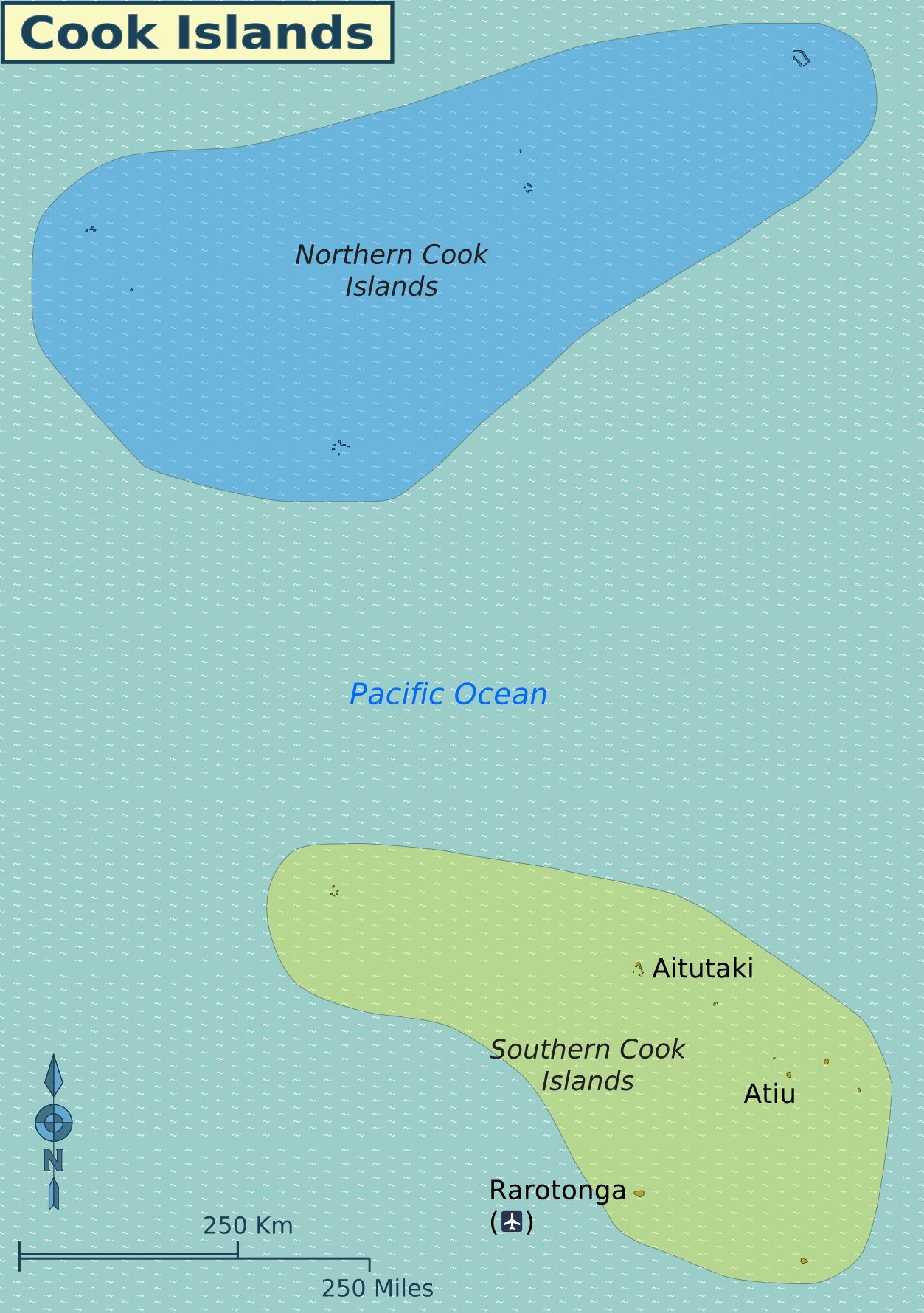
English: Map of the Cook Islands. |
| Date | |
| Source | Created from SVG version, in turn drawn by (WT-shared) Shaund based on this map from User:Aotearoa. |
| Author | User: (WT-shared) Shaund at wts wikivoyage |
| Other versions |
|

Licensing
[edit]
This file is licensed under the Creative Commons Attribution-Share Alike 3.0 Unported license.
- You are free:
- to share – to copy, distribute and transmit the work
- to remix – to adapt the work
- Under the following conditions:
- attribution – You must give appropriate credit, provide a link to the license, and indicate if changes were made. You may do so in any reasonable manner, but not in any way that suggests the licensor endorses you or your use.
- share alike – If you remix, transform, or build upon the material, you must distribute your contributions under the same or compatible license as the original.
Original upload log
[edit]
| This file was imported from Wikivoyage WTS. |
The original description page was here. All following user names refer to wts.wikivoyage-old.
- 2011-07-27 20:42 (WT-shared) Shaund archive copy at the Wayback Machine 1253×1780 (360711 bytes) {{Imagecredit|credit=[[User:Shaund|Shaund]]|captureDate=27 July 2011|location=Cook Islands|source=[[:Image:Cook islands map.svg]]|caption=Ma (Import from wikitravel.org/shared)
File history
Click on a date/time to view the file as it appeared at that time.
| Date/Time | Thumbnail | Dimensions | User | Comment | |
|---|---|---|---|---|---|
| current | 23:18, 17 November 2012 | | 1,253 × 1,780 (352 KB) | MGA73bot2 (talk | contribs) | {{BotMoveToCommons|wts.oldwikivoyage|year={{subst:CURRENTYEAR}}|month={{subst:CURRENTMONTHNAME}}|day={{subst:CURRENTDAY}}}} == {{int:filedesc}} == {{Information |description=Map of the Cook Islands. , Cook Islands * Map of: Cook Islands¤ |date=27 July... |
You cannot overwrite this file.
File usage on Commons
The following 3 pages use this file:
File usage on other wikis
The following other wikis use this file:
- Usage on cs.wikivoyage.org
- Usage on el.wikivoyage.org
- Usage on en.wikivoyage.org
- Usage on he.wikivoyage.org
- Usage on incubator.wikimedia.org
- Usage on it.wikivoyage.org
- Usage on ja.wikivoyage.org
- Usage on uk.wikipedia.org
- Usage on zh.wikivoyage.org